 Catalogue PIGMA
CurviLoire Hindcast
Simple
- Date (Publication)
- 2023-05-26
- Identifier
- FR-330-715-368-00032-IFR_MODEL_CURVILOIRE
- Identifier
- DOI:10.12770/a56f1a01-bdf2-4f52-9cc7-4e4b8605520c
- Credit
- IFREMER - Unité Dynamiques des Écosystèmes Côtiers
02 98 22 48 64
- Thèmes Sextant
-
- /Physical Environment/Coastal Hydrodynamics
- GEMET - INSPIRE themes, version 1.0
-
- Oceanographic geographical features
- Use limitation
- CC-BY (Creative Commons - Attribution)
- Access constraints
- License
- Use constraints
- License
- Spatial representation type
- grid Grid
- Distance
- 1000 meter
- Metadata language
- English
- Character set
- utf8 UTF8
- Topic category
-
- Oceans
))
- Begin date
- 2009-01-01
- End date
- 2019-01-01
- Reference system identifier
- EPSG / WGS 84 (EPSG:4326) / 8.6
- Distribution format
-
-
NetCDF
(
4
)
-
NetCDF
(
4
)
- OnLine resource
- /home/ref-ocean-coastal-model/LOIRE/ ( NETWORK:LINK )
- OnLine resource
- https://data-dataref.ifremer.fr/ocean-coastal-model/LOIRE/curviloire_hindcast/ ( WWW:DOWNLOAD )
- OnLine resource
- home/ref-ocean-coastal-model/LOIRE/ ( NETWORK:LINK )
- OnLine resource
- Digital Object Identifier (DOI) ( DOI )
- Hierarchy level
- Dataset
- Statement
-
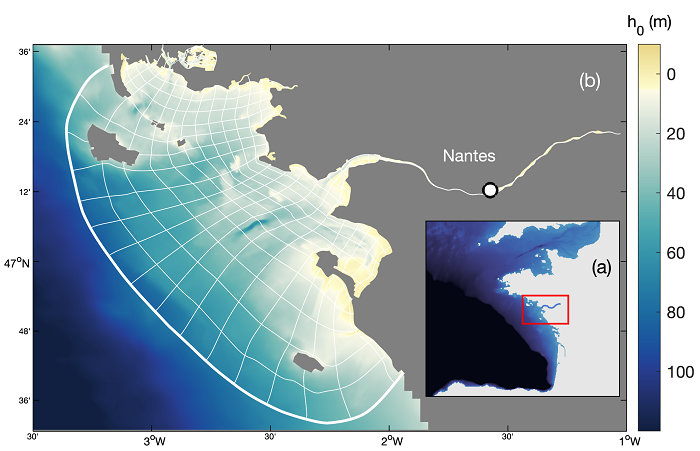
curviloire_hindcast (2009-2018)
Atmospheric forcing: Météo-France Arome (1.3x1.3 km², dt = 1h)
Waves at open boundary: WWIII-NORGASUG 4 (5x5 km², dt = 1h)
Open boundary conditions: MARS3D-MANGAE2500 (2.5x2.5 km², dt = 1h)
Storm surges: MARS2D-MANGAE2500 (2.5x2.5 km2, dt = 1h)
Directory architecture
/hydro (NetCDF) half-hourly variables for water parameters (level, current, temperature, salinity), waves (significant height, direction), and Suspended Sediment Concentrations of mud (diameter d < 63 µm), sands (very fine sand, d = 100 µm; fine sand, d = 200 µm; medium sand, d = 450 µm) and gravel (d = 1 mm).
/sedim (NetCDF) half-hourly variables for bed properties (wave-induced, current-induced and total bed shear stresses, bottom orbital velocities, sediment thickness and composition)
- File identifier
- a56f1a01-bdf2-4f52-9cc7-4e4b8605520c XML
- Metadata language
- English
- Character set
- UTF8
- Hierarchy level
- Dataset
- Date stamp
- 2025-05-15T23:37:39.971297Z
- Metadata standard name
- ISO 19115-3 - SEXTANT
- Metadata standard version
- 1.0
02 98 22 48 64
Overviews
Spatial extent
Provided by
