 Catalogue PIGMA
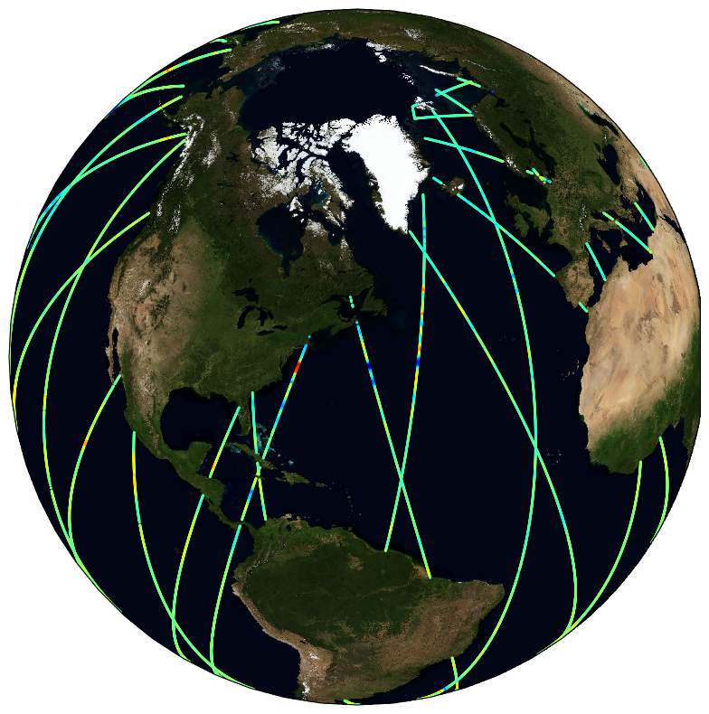
SASSA Global Along-Track 1 Hz Denoised Sea Level Anomalies from Altimeter
Satellite altimeters routinely supply sea surface height (SSH) measurements which are key observations to monitor ocean dynamics. However, below a wavelength of about 70 km, along-track altimeter measurements are often characterized by a dramatic drop in the signal-to-noise ratio, making it very challenging to fully exploit available altimeter observations to precisely analyze small mesoscale variations in SSH. Although various approaches have been proposed and applied to identify and filter noise from measurements, no distinctive methodology emerged to be systematically applied in operational products. To best cope with this unresolved issue, the Copernicus Marine Environment Monitoring Service (CMEMS) actually provides simple band-pass filtered data to mitigate noise contamination in the along-track SSH signals and more innovative and adapted noise filtering methods are thus left to users seeking to unveil small-scale altimeter signals. Here demonstrated, a fully data-driven approach is developed and applied to provide robust estimates of noise-free Sea Level Anomaly (SLA) signals. The method combines Empirical Mode Decomposition (EMD), to help analyze non-stationary and non-linear processes, and an adaptive noise filtering technique inspired by Discrete Wavelet Transform (DWT) decompositions. It is now found to best resolve the distribution of the sea surface height variability in the mesoscale 30-120 km wavelength band. A practical uncertainty variable is attached to the denoised SLA estimates that accounts for errors related to the local signal to noise ratio, but also for uncertainties in the denoising process, which assumes that SLA variability results in part from a stochastic process. Here, measurements from the Jason-3, Sentinel-3 A and SARAL/AltiKa altimeters are processed and analyzed, and their energy spectral and seasonal distributions characterized in the small mesoscale domain. Anticipating data from the upcoming Surface Water and Ocean Topography (SWOT) mission, these denoised SLA measurements for three reference altimeter missions already yield valuable opportunities to assess global small mesoscale kinetic energy distributions.
This dataset was developed within the Ocean Surface Topography Science Team (OSTST) activities. A grant was awarded to the SASSA (Satellite Altimeter Short-scale Signals Analysis) project by the TOSCA board in the framework of the CNES/EUMETSAT call CNES-DSP/OT 12-2118. Altimeter data were provided by the Copernicus Marine Environment Monitoring Service (CMEMS) and by the Sea State Climate Change Initiative (CCI) project.
Simple
- Date (Creation)
- 2021-10-19
- Version
- 1.0
- GEMET - INSPIRE themes, version 1.0
-
- Oceanographic geographical features
- Cersat - Parameter
-
- Sea Surface Topography
- Cersat - Project
-
- SASSA
- Cersat - Latency
-
- Historical
- Cersat - GCMD parameter
-
- /Sea Surface Topography/Sea Surface Height
- Centre de données ODATIS
-
- CDS-CERSAT
- Type de jeux de donnée ODATIS
-
- /Observational data/satellite
- ODATIS aggregation parameters and Essential Variable names
-
- Sea surface height
- Specific usage
- Update
- Specific usage
- Issue
- Date (validityBegins)
- Date (validityExpires)
- Use limitation
- None
- Access constraints
- Other restrictions
- Use constraints
- Other restrictions
- Other constraints
- Free and Open
- Other constraints
- Ifremer / CERSAT. 2021. SASSA Global Along-Track 1 Hz Denoised Sea Level Anomalies from Altimeter dataset (v1.0). Ver. 1.0. Ifremer, Plouzane, France. Dataset accessed [YYYY-MM-DD]. DOI:10.12770/1126742b-a5da-4fe2-b687-e64d585e138c
- Spatial representation type
- grid Grid
- Distance
- 1 Hz
- Topic category
-
- Oceans
))
- Geographic identifier
- Global
- Begin date
- 2013-03-14
- End date
- 2020-05-31
- Reference system identifier
- http://www.opengis.net/def/crs/EPSG/0/4326
- OnLine resource
-
FTP
(
WWW:FTP
)
CERSAT FTP
- OnLine resource
-
Processing and validation
(
WWW:LINK
)
Towards improved analysis of short mesoscale sea level signals from satellite altimetry, Yves Quilfen et al., essd-2021-352
- OnLine resource
-
Processing and validation
(
WWW:LINK
)
Quilfen Yves (2021). EMD-based function (matlab) to denoise measurements of satellite altimeter along-track sea level and significant wave height. SEANOE. https://doi.org/10.17882/86455
- OnLine resource
- Digital Object Identifier (DOI) ( DOI )
- Hierarchy level
- Series
- Date / Time
- V1.0
- Hierarchy level
- Dataset
- Attribute description
- pass
- Processing level code
- L3 /
- File identifier
- 1126742b-a5da-4fe2-b687-e64d585e138c XML
- Metadata language
- English
- Character set
- UTF8
- Hierarchy level
- Series
- Date stamp
- 2025-01-15T09:04:06.730589Z
- Metadata standard name
- ISO 19115-3:2018 - Remote Sensing
Overviews
Spatial extent
Provided by
