 Catalogue PIGMA
Sea level | * | Copernicus Marine Environment Monitoring Service | EUROPEAN OCEAN ALONG-TRACK SEA LEVEL ANOMALIES NRT
Simple
- Alternate title
- EUROPEAN OCEAN ALONG-TRACK SEA LEVEL ANOMALIES NRT
- Date
- Identifier
- Sea level | * | Copernicus Marine Environment Monitoring Service | EUROPEAN OCEAN ALONG-TRACK SEA LEVEL ANOMALIES NRT
- Other citation details
- EUROPEAN OCEAN ALONG-TRACK SEA LEVEL ANOMALIES NRT
- Purpose
- time history of mono altimeter satellite along-track sea surface heights computed with respect to a twenty-year mean for the European Ocean (North-West Shelf Sea, Iberian-Biscayne-Irish Sea, Mediterranean Sea, Black Sea and Baltic Sea). This product is computed with an optimal and centered computation time window (6 weeks before and after the date).
- Status
- onGoing On going
- Maintenance and update frequency
- Daily
- Used by challenges
-
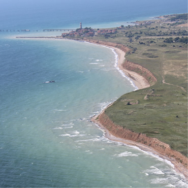
- BlackSea - CH05 - Coasts
- Environmental matrix
-
- Marine water
- Production mode
-
- Real-time
- Visibility
-
- Search via reference catalogue (e.g. MyOcean, GEOSS Geoportal…)
- Policy visibility
-
- There is detailed information provided to understand data policy
- Readyness
-
- Format not proprietary and content clearly specified (e.g. autodescriptive like ODV, NetCDF CF) or at least with appropriate document describing the content
- Parameter Discovery Vocabulary (P02)
-
- Sea level
- GEMET - INSPIRE themes, version 1.0
-
- Elevation
- Processing level of characteristics
-
- High level analyzed
- Data delivery mechanisms
-
- Online discovery and downloading services
- Parameter Usage Vocabulary (other)
-
- *
- Agreed Parameter Groups (P03)
-
- Sea level
- Service extent
-
- The datasets are referenced in a public national catalogue, in an international catalogue service
- Access constraints
- Other restrictions
- Other constraints
- Unrestricted
- Use limitation
- Not or not well documented
- Spatial representation type
- vector Vector
- Distance
- 7 km
- Metadata language
- Français
- Character set
- utf8 UTF8
- Topic category
-
- Oceans
- Environment description
- Altimeter data will be used for calculating regional sea level trends and time-series for the past 10, 50 and 100 years and to produce spatial layers and raw data of sea level from altimetry on a yearly basis covering the last 10 years.
N
S
E
W
))
- Begin date
- 2014-01-07T00:00:00
Vertical extent
- Minimum value
- 0
- Maximum value
- 0
- Dimension name
- Time
- Resolution
- instantaneous
- Transformation parameter availability
- Yes
- Checkpoint Availability
- Yes
- Distribution format
-
-
NetCDF
()
-
NetCDF
()
- OnLine resource
- EUROPEAN OCEAN ALONG-TRACK SEA LEVEL ANOMALIES NRT ( WWW:LINK )
- OnLine resource
- SEALEVEL_EUR_SLA_L3_NRT_OBSERVATIONS_008_024 ( WWW:LINK )
- Hierarchy level
- Dataset
Domain consistency
- Name of measure
- Responsiveness
Quantitative result
- Value
- Online downloading (i.e. a few hours or less) for release
Domain consistency
- Name of measure
- Reliability
Quantitative result
- Attribute description
- observation
- Content type
- Physical measurement
- File identifier
- 253a1643-a3f3-431e-857c-ea0944e2f3f6 XML
- Metadata language
- English
- Character set
- UTF8
- Hierarchy level
- Dataset
- Hierarchy level name
- BlackSea - CH05 - Coasts
- Date stamp
- 2018-03-16T08:31:11Z
- Metadata standard name
- ISO 19115-3 - Emodnet Checkpoint - Upstream Data
- Metadata standard version
- 1.0
Overviews
Spatial extent
N
S
E
W
Provided by

Associated resources
Not available