 Catalogue PIGMA
Bird counts | Seabird distribution and abundance data | Ocean Biogeographic Information System (OBIS) | JNCC seabird distribution and abundance data (all trips) from ESAS database
Simple
- Alternate title
- JNCC seabird distribution and abundance data (all trips) from ESAS database
- Date
- Identifier
- Bird counts | Seabird distribution and abundance data | Ocean Biogeographic Information System (OBIS) | JNCC seabird distribution and abundance data (all trips) from ESAS database
- Other citation details
- JNCC seabird distribution and abundance data (all trips) from ESAS database
- Purpose
- The European Seabirds at Sea (ESAS) database was established in 1991 as a collaboration between individuals and institutes who had collected data on the distribution of seabirds and marine mammals in north-west European offshore areas. The founding aim of this project was to merge data from different collaborators and use these to publish an atlas depicting vulnerable concentrations of seabirds to oil pollution.
- Status
- onGoing On going
- Maintenance and update frequency
- Unknown
- Used by challenges
-
- Atlantic - CH01 - Windfarm Siting
- Environmental matrix
-
- Biota - Biology
- Production mode
-
- Delayed
- Visibility
-
- Search via reference catalogue (e.g. MyOcean, GEOSS Geoportal…)
- Policy visibility
-
- There is detailed information provided to understand data policy
- Readyness
-
- Format not proprietary and content clearly specified (e.g. autodescriptive like ODV, NetCDF CF) or at least with appropriate document describing the content
- Parameter Discovery Vocabulary (P02)
-
- Bird counts
- GEMET - INSPIRE themes, version 1.0
-
- Species distribution
- Processing level of characteristics
-
- High level analyzed
- Data delivery mechanisms
-
- Online discovery + downloading + viewing services (Advanced services)
- Parameter Usage Vocabulary (other)
-
- Seabird distribution and abundance data
- Agreed Parameter Groups (P03)
-
- Birds, mammals and reptiles
- Service extent
-
- The datasets are referenced in a public national catalogue, in an international catalogue service
- Validation
-
- Submitted
- Access constraints
- Other restrictions
- Other constraints
- Unrestricted
- Use limitation
- Open and Free. No charge
- Spatial representation type
- vector Vector
- Metadata language
- Français
- Character set
- utf8 UTF8
- Topic category
-
- Oceans
- Environment description
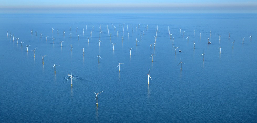
- Data for evaluating the impact of OWF siting on biological resources.
N
S
E
W
))
- Begin date
- 1979-01-01T00:00:00
Vertical extent
- Minimum value
- NA
- Maximum value
- NA
- Dimension name
- Time
- Resolution
- 1 year
- Transformation parameter availability
- Yes
- Checkpoint Availability
- Yes
- Distribution format
-
-
ESRI Shapefile
()
-
ESRI Shapefile
()
- OnLine resource
- Datasets ( WWW:LINK )
- OnLine resource
- seamap427_csv_16402.zip ( WWW:LINK )
- Hierarchy level
- Dataset
Domain consistency
- Name of measure
- Responsiveness
Quantitative result
- Value
- Online downloading (i.e. a few hours or less) for release
Domain consistency
- Name of measure
- Reliability
Quantitative result
- Statement
- NA
- Attribute description
- observation
- Content type
- Physical measurement
- Description
- NA
- File identifier
- 3c695782-b4aa-44c7-a12d-2f852da8bb33 XML
- Metadata language
- English
- Character set
- UTF8
- Hierarchy level
- Dataset
- Hierarchy level name
- Atlantic - CH01 - Windfarm Siting
- Date stamp
- 2016-11-17T12:35:05Z
- Metadata standard name
- ISO 19115-3 - Emodnet Checkpoint - Upstream Data
- Metadata standard version
- 1.0
Overviews
Spatial extent
N
S
E
W
Provided by

Associated resources
Not available