 Catalogue PIGMA
CROCODEALS Hindcast
Simple
- Date (Publication)
- 2024-01-05
- Date (Creation)
- 2023-04-30
- Identifier
- FR-330-715-368-00032-IFR_CROCODEALS_HINDCAST
- Credit
- IFREMER - DYNECO - Laboratoire de Dynamique Hydro-Sédimentaire
02 98 22 48 64
- Thèmes Sextant
-
- /Physical Environment/Hydrodynamics
- GEMET - INSPIRE themes, version 1.0
-
- Oceanographic geographical features
- ODATIS aggregation parameters and Essential Variable names
-
- Sedimentary fluxes
- Type de jeux de donnée ODATIS
-
- Simulation data
- Use limitation
- CC-BY-NC-SA (Creative Commons - Attribution, No commercial usage, Sharing under the same conditions)
- Access constraints
- License
- Use constraints
- Copyright
- Spatial representation type
- grid Grid
- Metadata language
- English
- Character set
- utf8 UTF8
- Topic category
-
- Oceans
))
- Begin date
- 2000-01-01T00:00:00+00:00
- End date
- 2019-12-31T23:00:00+00:00
- Number of dimensions
- 2
- Dimension name
- Line
- Resolution
- 2.5 km
- Dimension name
- Row
- Resolution
- 2.5 km
- Cell geometry
- Area
- Transformation parameter availability
- No
- Distribution format
-
-
(
)
-
(
)
- OnLine resource
- Digital Object Identifier (DOI) ( DOI )
- OnLine resource
- /home/ref-ocean-coastal-model/CROCODEALS ( NETWORK:LINK )
- Hierarchy level
- Dataset
Domain consistency
Conformance result
- Date (Publication)
- 2010-12-08
- Explanation
- See the referenced specification
- Statement
-
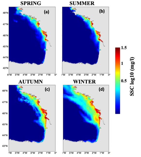
Model grid :
The grid of the MANGA configuration extends from 41°S to 55°N and from -18°W to 9.5°E, with horizontal resolution of 2.5 km (820x623 elements). The water column is resolved by 40 generalized sigma levels refined at the surface and at the bottom.
Sediment is modelled by three classes: gravel, sand and mud.
Forcing :
• Tide: FES2014 atlas
• Atmospheric forcing: ERA5 reanalysis
• Waves: RESOURCECODE and global reanalysis
• Rivers: IAV for Vilaine, and National River Flow Archive (UK) for Thames and HYDROFRANCE for other rivers
• Open boundary conditions: GLORYS reanalysis GLOBAL_MULTIYEAR_PHY_001_030 from COPERNICUS
Variables in the hindcast :
Hourly variables for water parameters (level, current, temperature, salinity) and sediment parameters (concentration in water for mud, sands and gravel, concentration in sediment for mud, sands and gravel, sediment thickness, bottom shear stress)
- File identifier
- 5f5a0587-06a0-425d-adb9-c8a81e29c9a5 XML
- Metadata language
- English
- Character set
- UTF8
- Hierarchy level
- Dataset
- Date stamp
- 2025-12-13T11:28:16.802045Z
- Metadata standard name
- ISO 19115-3 - SEXTANT
- Metadata standard version
- 1.0
Overviews
Spatial extent
Provided by
