 Catalogue PIGMA
Wind strength and direction | Wind speed (10m) in the atmosphere by model prediction | IFREMER | Vent_Carte-2D_Zone-arpege_YearMonthDay-0800_YearMonthDay-0500
Simple
- Alternate title
- Vent_Carte-2D_Zone-arpege_YearMonthDay-0800_YearMonthDay-0500
- Date
- Identifier
- Wind strength and direction | Wind speed (10m) in the atmosphere by model prediction | IFREMER | Vent_Carte-2D_Zone-arpege_YearMonthDay-0800_YearMonthDay-0500
- Other citation details
- Vent_Carte-2D_Zone-arpege_YearMonthDay-0800_YearMonthDay-0500
- Purpose
- To provide users with short-term forecasts about Direction and Intensity of wind along the North east Atlantic French Coast
- Status
- onGoing On going
- Maintenance and update frequency
- Continual
- Used by challenges
-
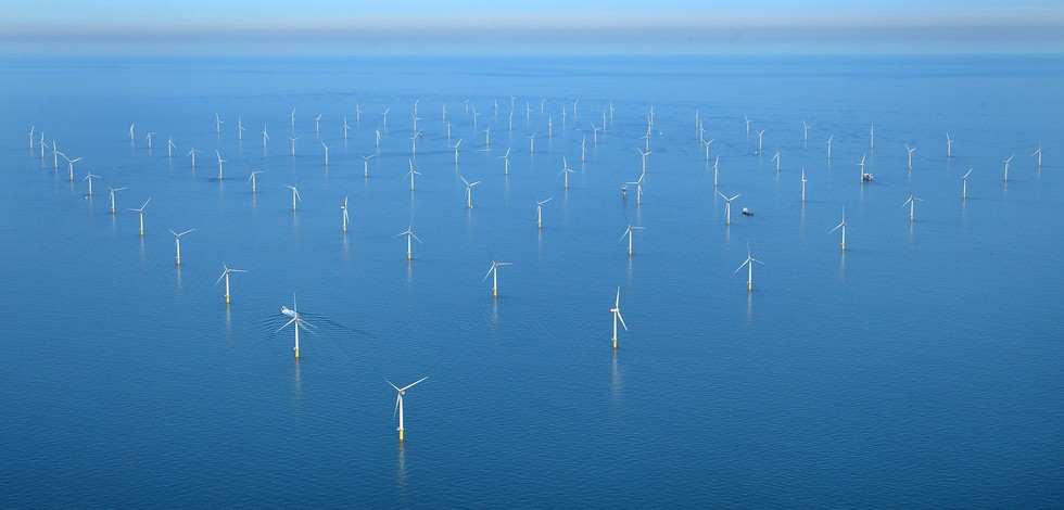
- Atlantic - CH01 - Windfarm Siting
- Environmental matrix
-
- Air
- Production mode
-
- Real-time
- Visibility
-
- Search via reference catalogue (e.g. MyOcean, GEOSS Geoportal…)
- Policy visibility
-
- There is detailed information provided to understand data policy
- Readyness
-
- Format not proprietary and content clearly specified (e.g. autodescriptive like ODV, NetCDF CF) or at least with appropriate document describing the content
- Parameter Discovery Vocabulary (P02)
-
- Wind strength and direction
- GEMET - INSPIRE themes, version 1.0
-
- Meteorological geographical features
- Processing level of characteristics
-
- Forecast/Hindcast
- Data delivery mechanisms
-
- Online discovery and downloading services
- Parameter Usage Vocabulary (P01)
-
- Wind speed (10m) in the atmosphere by model prediction
- Agreed Parameter Groups (P03)
-
- Meteorology
- Service extent
-
- The datasets are referenced in a public national catalogue, in an international catalogue service
- Validation
-
- Submitted
- Access constraints
- Other restrictions
- Other constraints
- Unrestricted
- Use limitation
- Open and Free. No charge
- Spatial representation type
- vector Vector
- Metadata language
- Français
- Character set
- utf8 UTF8
- Topic category
-
- Oceans
- Environment description
- Wind Intensity and direction data will used as major indicator in fitness for use OWF siting assessment
N
S
E
W
))
- Begin date
- Now
Vertical extent
- Minimum value
- NA
- Maximum value
- NA
- Dimension name
- Time
- Resolution
- 3 hour
- Transformation parameter availability
- Yes
- Checkpoint Availability
- Yes
- Distribution format
-
-
PNG
()
-
PNG
()
- OnLine resource
- Forecasts-Winds ( WWW:LINK )
- OnLine resource
- Vent_Carte-2D_Zone-arpege_YearMonthDay-0800_YearMonthDay-0500 ( WWW:LINK )
- Hierarchy level
- Dataset
Domain consistency
- Name of measure
- Responsiveness
Quantitative result
- Value
- Online downloading (i.e. a few hours or less) for release
Domain consistency
- Name of measure
- Reliability
Quantitative result
- Statement
- NA but warns that these data result from simulations or from automated observations and are for general information purposes only
- Hierarchy level
- datasetComponent
N
S
E
W
))
Vertical extent
- Other
- zdfdhdhfgh
- Other
- fgfgdfbg
- Other
- Air|Wind speed and direction|Wind direction from (10m) in the atmosphere by model prediction|Forecast/Hindcast|Delayed
Completeness omission
- Name of measure
- Horizontal Spatial Coverage
- Measure identification
- AP.1.1
- Measure description
- Horizontal coverage extent of product (eg : surface of the Mediterranean Sea)
Quantitative result
- Value type
- Real
gmd:DQ_DescriptiveResult
- Date / Time
- 2017-06-08T00:00:00
Completeness omission
- Name of measure
- Vertical Spatial Coverage
- Measure identification
- AP.1.2
- Measure description
- Vertical coverage extent of product
Quantitative result
- Value type
- Real
gmd:DQ_DescriptiveResult
- Date / Time
- 2017-06-08T00:00:00
Completeness omission
- Name of measure
- Temporal Coverage
- Measure identification
- AP.1.3
- Measure description
- Temporal coverage extent of product
Quantitative result
- Value type
- Integer
gmd:DQ_DescriptiveResult
- Date / Time
- 2017-06-08T00:00:00
Conceptual consistency
- Name of measure
- Number of Characteristics
- Measure identification
- AP.2.1
- Measure description
- Number of characteristics in product
Quantitative result
- Value type
- Integer
gmd:DQ_DescriptiveResult
- Date / Time
- 2017-06-08T00:00:00
Thematic classification correctness
- Name of measure
- Horizontal resolution
- Measure identification
- AP.3.1
- Measure description
- Horizontal mesh size or equivalent value for the given scale of product (eg 50m for 1/50 000)
Quantitative result
- Value type
- Integer
gmd:DQ_DescriptiveResult
- Date / Time
- 2017-06-08T00:00:00
Thematic classification correctness
- Name of measure
- Vertical resolution
- Measure identification
- AP.3.2
- Measure description
- Average vertical sampling
Quantitative result
- Value type
- Real
gmd:DQ_DescriptiveResult
- Date / Time
- 2017-06-08T00:00:00
Thematic classification correctness
- Name of measure
- Temporal resolution
- Measure identification
- AP.3.3
- Measure description
- Temporal sampling interval of product
Quantitative result
- Value type
- Real
gmd:DQ_DescriptiveResult
- Date / Time
- 2017-06-08T00:00:00
Quantitative attribute accuracy
- Name of measure
- Thematic accuracy
- Measure identification
- AP.3.4
- Measure description
- Percentage error of the product and description of error concept for the product (100 words max) provided by expert
Quantitative result
- Value type
- Percentage
Temporal validity
- Name of measure
- Temporal validity
- Measure identification
- AP.4.1
- Measure description
- Max elapsed time between last input data records update and product creation date. Minimum value 1/24 day.
Quantitative result
- Value type
- Integer
gmd:DQ_DescriptiveResult
- Date / Time
- 2017-06-08T00:00:00
- Statement
- NA but warns that these data result from simulations or from automated observations and are for general information purposes only
- Attribute description
- observation
- Content type
- Physical measurement
- Description
- NA
- File identifier
- 783c4550-2eaf-4930-b2c3-8ca8f631a8b4 XML
- Metadata language
- English
- Character set
- UTF8
- Hierarchy level
- Series
- Hierarchy level name
- Atlantic - CH01 - Windfarm Siting
- Date stamp
- 2018-01-10T09:57:16Z
- Metadata standard name
- ISO 19115-3 - Emodnet Checkpoint - Upstream Data
- Metadata standard version
- 1.0
Overviews
Spatial extent
N
S
E
W
N
S
E
W
Provided by

Associated resources
Not available