 Catalogue PIGMA
Produit altimétrique Topex/Poséidon (monomission, le long de la trace)
Retracking des formes d'ondes Topex (ocean, ice1, ice2, seaice) avec un processor Envisat, dans le cadre du projet CASH.
CASH is a "Terre et Espace" project, funded by the french Ministry of Research to develop and promote new services using remote data, and involving industrial and scientific partners. This project aims at demonstrating how to use satellite altimetry to address the need of a global survey system of water resources. A consortium with all scientific, instrumental, and operational skills has been created, gathering: IRD/HyBAM, IRD/ESPACE, LEGOS/GOHS, CLS and BRLi.
Simple
- Date (Publication)
- 2017-11-07
- Credit
- CTOH, CNES, NASA
- Centre de données ODATIS
-
- CDS-SAT-AVISO
- Type de jeux de donnée ODATIS
-
- /Données d'observation/satellite
- Theme
-
- altimetry, GDR, satellite, surface heights, sea level, SLA, backscatter coefficient
- Services Nationaux d'Observation
-
- SNO-CTOH
- ODATIS aggregation parameters and Essential Variable names
-
- Hauteur de la surface de la mer
- Use limitation
- Aucune condition ne s’applique
- Access constraints
- Other restrictions
- Use constraints
- Copyright
- Spatial representation type
- grid Grid
- Metadata language
- Français
- Character set
- utf8 UTF8
- Topic category
-
- Oceans
N
S
E
W
))
- Begin date
- 1992-12-21
- End date
- 2002-06-22 Before
- Geometric object type
- Point
- Distribution format
-
-
(
)
-
(
)
- OnLine resource
- CTOH ( WWW:LINK )
- Hierarchy level
- Dataset
- File identifier
- c90cd2e1-7474-4958-ae90-41afa909e505 XML
- Metadata language
- Français
- Character set
- UTF8
- Parent identifier
- Produit altimétrique de niveau 2 GDR (monomission, le long de la trace), plusieurs missions disponibles 43feec26-ee31-4fe3-9556-3ad5528fe0b7
- Hierarchy level
- Dataset
- Date stamp
- 2025-05-16T00:07:25.23096Z
- Metadata standard name
- ISO 19115-3 - SEXTANT
- Metadata standard version
- 1.0
Overviews
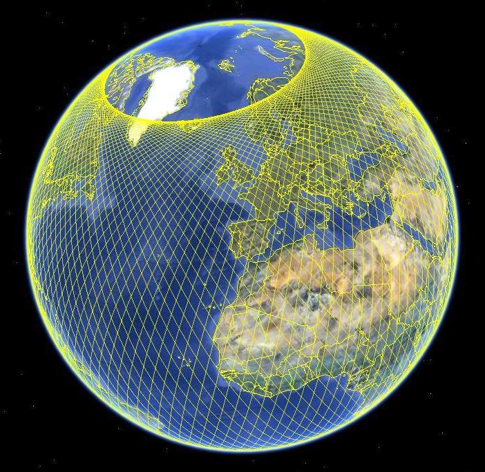
orbite Topex/Poséidon
Spatial extent
N
S
E
W
Provided by

Associated resources
Not available