 Catalogue PIGMA
EVHOE Bottom Trawl Survey catch data: long term benthic community dataset for fish and invertebrates on the continental shelves of the Bay of Biscay and the Celtic Sea
EVHOE (« Evaluation Halieutique de l’Ouest Européen ») surveys provide observational data on bentho-demersal communities on the continental shelves of the Bay of Biscay and the Celtic Sea for more than 30 years. The surveys operate a standardized bottom trawling gear and are conducted from 15 to 600 m depth, usually in the fourth quarter of the year, starting at the end of October. The main objectives are the monitoring of 22 commercial stocks of fish species and 10 cephalopods from the North-East Atlantic. The dataset also provide a description of regional diversity, including 250 taxa of fish, 45 taxa of cephalopods and others “commercial” invertebrates and, from 2008, more than 350 other taxa of benthic invertebrates. The acquisition of this dataset, organised by IFREMER, is steered by the IBTS working group organised within the framework of ICES. It is being funded by the European DCMAP programme, in coordination with the French Directorate-General for Maritime Affairs, Fisheries and Aquaculture (DGAMPA). This dataset is of great interest for the long-term monitoring of the continental shelves of the Bay of Biscay and the Celtic Sea. Moreover, on a larger scale, by being integrated into a European network of bottom trawl surveys, these data play an essential role in studying the evolution of ecosystems from continental shelves to the scale of the eastern North Atlantic. From April 2025, the proposed data have been updated in the latest standard format recognised by IFREMER (‘ELFIC’ format). The 5 data tables are compiled in a .zip file which also contains a document detailing the content of each table and their respective data fields.
Simple
- Date (Publication)
- 2025-04
- Date (Revision)
- 2025-10-16
- Other citation details
- Laffargue Pascal, Delaunay Damien, Badts Vincent, Berthele Olivier, Cornou Anne Sophie, Garren Francois (2025). EVHOE Bottom Trawl Survey catch data: long term benthic community dataset for fish and invertebrates on the continental shelves of the Bay of Biscay and the Celtic Sea. SEANOE. https://doi.org/10.17882/80041
- Credit
- All the participants in the Evhoe fishing surveys and in particular the pioneers of the fisheries survey in the bay of Biscay, A.Maucorps, R.Chevalier,J.-C.Quéro, A.Laurec, and the successive heads of mission and observation managers who have been on board since 1987 : Jean-Charles Poulard, A.Charuau, R. Bellail, J.-C. Mahé, J.-P. Léauté, M. Salaün, J. Dimeet, L. Pawlowski, E. Duhamel, N. Caroff, J.-J. Rivolaen, L. Bouche, S. Martin, L. Le Ru, D. Le Roy and more generally the staff of the IFREMER’s research units STH, EMH, HMMN and Marbec.All the sailors of GENAVIR, operator of the Thalassa, as well as the "French Oceanographic Fleet" for the technical and organizational support of these fishing surveys. All the students who sometimes started their career by joining EVHOE and all the colleagues from others institutes and various countries who contributed to the collection of data. Special thanks go to fish identification specialists from IFREMER, from the National Museum of Natural History and from various institutes, J.-C.Quéro, S.Iglésias, J.Spitz,who, through their expertise and regular boardings, have made it possible to ensure the reliability of the identifications on board. The IFREMER "Fisheries Information System" teams (https://sih.ifremer.fr/) for improving the sample processing, banking and data control tools, as well as the administrative managers of these surveys and their financing. The members of the ICES WGIBTS group who participated in the harmonization of observation at the European level. The neighbouring countries are thanked (Spain, United-Kingdom, Ireland) for giving access to their territorial waters. These surveys were financially supported by Europe through the data collection framework (Regulation (EU) 2017/1004 of 17 May 2017), the responsibility of the organization was transmitted to IFREMER through the French Ministry of Fisheries and Aquaculture (DPMA).
- SIH - Façade maritime
-
- Atlantique
- Manche - Mer du Nord
- SIH - Types de jeu de données
- Theme
-
- Fisheries survey
- Demersal communities
- Bottom trawl
- Fishes
- Cephalopods
- Biodiversity
- Bay of Biscay
- Celtic Sea
- GOV
- Northern Atlantic
- Soft bottom
- Biological oceanography
- Fisheries and aquaculture
- Use limitation
- CC-BY (Creative Commons - Attribution)
- Use constraints
- Other restrictions
- Date (Publication)
- 2024
- Unique resource identifier
- 10.1111/gcb.17383
- Association Type
- Cross reference
- Initiative Type
- Study
- Date (Publication)
- 2021
- Unique resource identifier
- 10.5194/essd-2021-146
- Association Type
- Cross reference
- Initiative Type
- Study
- Date (Publication)
- Unique resource identifier
- 10.13155/109277
- Association Type
- Cross reference
- Initiative Type
- Study
- Unique resource identifier
- 10.18142/8
- Association Type
- Cross reference
- Initiative Type
- Platform
- Metadata language
- English
- Topic category
-
- Oceans
N
S
E
W
))
- Begin date
- 1987
- End date
- 2024
- Distribution format
-
-
CSV
(
)
-
CSV
(
)
- OnLine resource
-
Quality controlled data
(
WWW:DOWNLOAD-1.0-link--download
)
1987-2024 data - 15 MB
- OnLine resource
-
Quality controlled data
(
WWW:DOWNLOAD-1.0-link--download
)
1987-2020 data [RESTRICTED] - 3 MB
- OnLine resource
- ELFIC : format description ( WWW:LINK )
- OnLine resource
- DOI of the product ( WWW:LINK-1.0-http--metadata-URL )
- OnLine resource
- Seanoe ( rel-canonical )
- Hierarchy level
- Dataset
- File identifier
- seanoe:80041 XML
- Metadata language
- English
- Character set
- UTF8
- Hierarchy level
- Dataset
- Date stamp
- 2025-10-16
- Metadata standard name
- ISO 19115:2003/19139
- Metadata standard version
- 1.0
Overviews
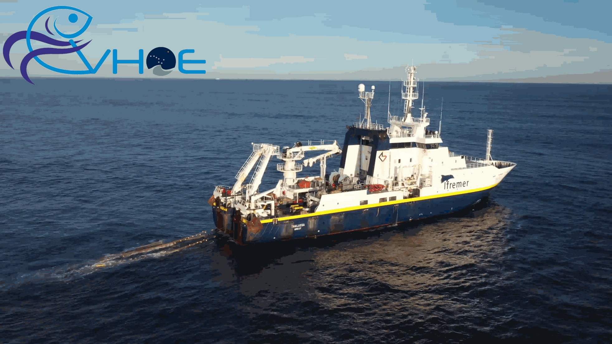
Trawl hauled aboard the R/V Thalassa during Evhoe 2019
Spatial extent
N
S
E
W
Provided by

Associated resources
Not available