 Catalogue PIGMA
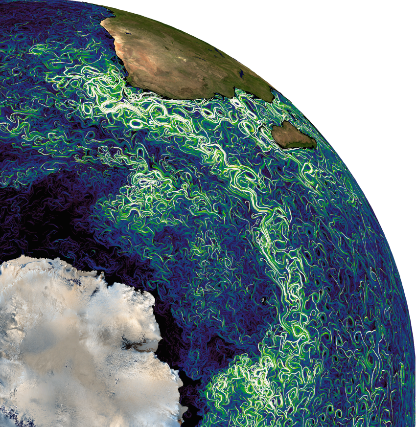
[OLD TEMPLATE] Produits FSLE (exposants de Lyapunov et orientations)
Simple
- Date (Creation)
- 1994-01-04
- Credit
- AVISO+
- Centre de données ODATIS
-
- CDS-AVISO
- Type de jeux de donnée ODATIS
-
- Données combinées
- Services Nationaux d'Observation
-
- SNO-CTOH
- ODATIS aggregation parameters and Essential Variable names
-
- Hauteur de la surface de la mer
- Use limitation
- Licence ouverte
- Access constraints
- Other restrictions
- Use constraints
- Other restrictions
- Other constraints
- Citation: Toute utilisation de ce dataset doit citer sa référence: DOI 10.24400/527896/a01-2022.002 ainsi que la collaboration entre les partenaires CLS - CNES - LOCEAN - CTOH
- Spatial representation type
- grid Grid
- Metadata language
- Français
- Character set
- utf8 UTF8
- Topic category
-
- Oceans
))
- Begin date
- 1994-01-04
- Geometric object type
- Complex
- Distribution format
-
-
NetCDF
(
)
-
NetCDF
(
)
- OnLine resource
- Plus d'information sur AVISO+ ( WWW:LINK )
- OnLine resource
- Accès authentifié aux données via FTP ( WWW:LINK )
- OnLine resource
-
fsle_max
(
OGC:WMS
)
FSLEs based on the maximum eigenvalue of the Cauchy-Green strain tensor
- OnLine resource
-
fsle_max
(
WWW:DOWNLOAD
)
Delayed-time TDS NetCDFSubset ODATIS AVISO
- OnLine resource
-
fsle_max
(
WWW:DOWNLOAD
)
Near-real time TDS NetCDFSubset ODATIS AVISO
- OnLine resource
-
DOI du jeu de données
(
DOI
)
DOI du jeu de données
- Hierarchy level
- Dataset
- Statement
-
Contents: multimission altimetry-derived gridded backward-in-time Finite Size Lyapunov Exponents and Orientations of associated eigenvectors. These products have been computed in collaboration between CLS, LOcean, CTOH and Cnes.
Use: study of ocean variability in different domains of the biology (mesoscale and sub-mesoscale circulation, seasonal variation...), assimilation, ....
Condition of access : These products are devoted to scientific applications and non-commercial useAccess Ssalto/Duacs products
Data access services
Description: gridded product, provided in delayed time. As a snapshot, each map represents the sea state for a given day. Spatial resolution: 1/25°x1/25° on a cartesian grid.
Detailed description: a complete description is available as well as some examples of applications.
Geographic coverage: global
- File identifier
- 27b8ae93-2f16-47d0-b11a-2ed8fd3dbccb XML
- Metadata language
- Français
- Character set
- UTF8
- Hierarchy level
- Dataset
- Date stamp
- 2026-02-24T10:25:30.304786Z
- Metadata standard name
- ISO 19115-3 - SEXTANT ISO 19115-3 - SEXTANT
- Metadata standard version
- 1.0
Overviews

Spatial extent
Provided by
