 Catalogue PIGMA
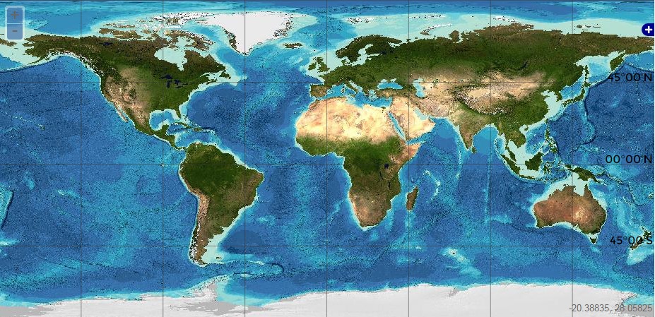
Bathymetry and Elevation | Sea-floor depth (below mean sea level) {bathymetric depth} | GEBCO | Gridded bathymetric data
Simple
- Alternate title
- Gridded bathymetric data
- Date
- Identifier
- Bathymetry and Elevation | Sea-floor depth (below mean sea level) {bathymetric depth} | GEBCO | Gridded bathymetric data
- Other citation details
- Gridded bathymetric data
- Purpose
- Fully comprehensive collection of bathymetric data for the world's oceans.
- Status
- onGoing On going
- Maintenance and update frequency
- As needed
- Used by challenges
-
- Atlantic - CH07 - Fisheries Impact
- Environmental matrix
-
- Seabed - Riverbed
- Production mode
-
- Delayed
- Visibility
-
- Search via reference catalogue (e.g. MyOcean, GEOSS Geoportal…)
- Policy visibility
-
- There is detailed information provided to understand data policy
- Readyness
-
- Format not proprietary and content clearly specified (e.g. autodescriptive like ODV, NetCDF CF) or at least with appropriate document describing the content
- Parameter Discovery Vocabulary (P02)
-
- Bathymetry and Elevation
- GEMET - INSPIRE themes, version 1.0
-
- Hydrography
- Processing level of characteristics
-
- High level analyzed
- Data delivery mechanisms
-
- Online discovery and downloading services
- Parameter Usage Vocabulary (P01)
-
- Sea-floor depth (below mean sea level) {bathymetric depth}
- Parameter Usage Vocabulary (other)
-
- Bathymetric depth
- Agreed Parameter Groups (P03)
-
- Gravity, magnetics and bathymetry
- Service extent
-
- The datasets are provided through an EU Inspire catalogue service (OGC)
- Validation
-
- Submitted
- Access constraints
- Other restrictions
- Other constraints
- Unrestricted
- Use limitation
- Open and Free. No charge
- Spatial representation type
- vector Vector
- Distance
- 1000 meter
- Metadata language
- Français
- Character set
- utf8 UTF8
- Topic category
-
- Oceans
- Environment description
- To spatially resolve seabed habitats in relation to fished areas in European waters to quantify the impact on vulnerable habitats.
N
S
E
W
))
- Begin date
- 2010-04-01
- End date
- 2013-09-01
Vertical extent
- Minimum value
- 0
- Maximum value
- 10000
- Dimension name
- Time
- Transformation parameter availability
- Yes
- Checkpoint Availability
- Yes
- Distribution format
-
-
GeoTIFF
()
-
GeoTIFF
()
- OnLine resource
- General Bathymetric Chart of the Oceans ( WWW:LINK )
- OnLine resource
- GEBCO_2014 grid ( WWW:LINK )
- Hierarchy level
- Dataset
Domain consistency
- Name of measure
- Responsiveness
Quantitative result
- Value
- Online downloading (i.e. a few hours or less) for release
Domain consistency
- Name of measure
- Reliability
Quantitative result
- Attribute description
- observation
- Content type
- Physical measurement
- File identifier
- 7a056ece-6eb4-46a8-805b-43deec8645ba XML
- Metadata language
- English
- Character set
- UTF8
- Hierarchy level
- Dataset
- Hierarchy level name
- Atlantic - CH07 - Fisheries Impact
- Date stamp
- 2018-04-06T08:30:32Z
- Metadata standard name
- ISO 19115-3 - Emodnet Checkpoint - Upstream Data
- Metadata standard version
- 1.0
Overviews
Spatial extent
N
S
E
W
Provided by

Associated resources
Not available