 Catalogue PIGMA
Wave height estimates | Significant height of primary swell by model prediction | IFREMER | Significant height of primary swell
Simple
- Alternate title
- Significant height of primary swell
- Date
- Identifier
- Wave height estimates | Significant height of primary swell by model prediction | IFREMER | Significant height of primary swell
- Other citation details
- Significant height of primary swell Day:Month:year Hour:min
- Purpose
- To provide users with short-term forecasts about Significant height of primary swell along the North east Atlantic French Coast
- Status
- onGoing On going
edmo
IFREMER
+33(0)1 46.48.22.24
http://wwz.ifremer.fr
Technopolis 40,155 rue J.J. Rousseau
,
ISSY-LES-MOULINEAUX
,
92138
,
France
+33(0)1 46.48.21.00
+33(0)1 46.48.22.24
http://wwz.ifremer.fr
- Maintenance and update frequency
- Continual
- Used by challenges
-
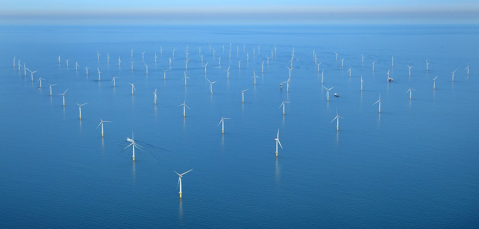
- Atlantic - CH01 - Windfarm Siting
- Environmental matrix
-
- Marine water
- Production mode
-
- Real-time
- Visibility
-
- Search via reference catalogue (e.g. MyOcean, GEOSS Geoportal…)
- Policy visibility
-
- There is detailed information provided to understand data policy
- Readyness
-
- Format not proprietary and content clearly specified (e.g. autodescriptive like ODV, NetCDF CF) or at least with appropriate document describing the content
- Parameter Discovery Vocabulary (P02)
-
- Wave height estimates
- GEMET - INSPIRE themes, version 1.0
-
- Oceanographic geographical features
- Processing level of characteristics
-
- Forecast/Hindcast
- Data delivery mechanisms
-
- Online discovery and downloading services
- Parameter Usage Vocabulary (other)
-
- Significant height of primary swell by model prediction
- Agreed Parameter Groups (P03)
-
- Waves
- Service extent
-
- The datasets are referenced in a public national catalogue, in an international catalogue service
- Validation
-
- Submitted
- Access constraints
- Other restrictions
- Other constraints
- Unrestricted
- Use limitation
- Open and Free. No charge
- Spatial representation type
- vector Vector
- Metadata language
- Français
- Character set
- utf8 UTF8
- Topic category
-
- Oceans
- Environment description
- wave data will be used as major indicator in fitness for use OWF siting assessment
N
S
E
W
))
- Begin date
- Now
Vertical extent
- Minimum value
- NA
- Maximum value
- NA
- Dimension name
- Time
- Resolution
- 1 hour
- Transformation parameter availability
- Yes
- Checkpoint Availability
- Yes
- Distribution format
-
-
PNG
()
-
PNG
()
- OnLine resource
- Forecasts-Waves ( WWW:LINK )
- OnLine resource
- Significant height of primary swell in the North east Atlantic Day:Month:year Hour:min ( WWW:LINK )
- Hierarchy level
- Dataset
Domain consistency
- Name of measure
- Responsiveness
Quantitative result
- Value
- Online downloading (i.e. a few hours or less) for release
Domain consistency
- Name of measure
- Reliability
Quantitative result
- Statement
- NA but warns that these data result from simulations or from automated observations and are for general information purposes only
- Attribute description
- observation
- Content type
- Physical measurement
- Description
- NA
- File identifier
- d5ac8ed3-d6b6-4f09-a58c-c86b2853d03c XML
- Metadata language
- English
- Character set
- UTF8
- Hierarchy level
- Series
- Hierarchy level name
- Atlantic - CH01 - Windfarm Siting
- Date stamp
- 2017-05-04T11:28:44Z
- Metadata standard name
- ISO 19115-3 - Emodnet Checkpoint - Upstream Data
- Metadata standard version
- 1.0
Overviews
Spatial extent
N
S
E
W
Provided by

Associated resources
Not available