 Catalogue PIGMA
POMME Kalman analysis of physical variables: datasets and gridded fields
Simple
- Date (Publication)
- 2015-10
- Date (Revision)
- 2022-05-11
- Other citation details
- Gaillard Fabienne, Mercier Herle, Kermabon Catherine (2015). POMME Kalman analysis of physical variables: datasets and gridded fields. SEANOE. https://doi.org/10.17882/39477
- Theme
-
- Physical oceanography
- Use limitation
- CC-BY (Creative Commons - Attribution)
- Use constraints
- Other restrictions
- Date (Publication)
- 2005
- Unique resource identifier
- 10.1029/2004JC002764
- Association Type
- Cross reference
- Initiative Type
- Study
- Unique resource identifier
- 10.17600/40070
- Association Type
- Cross reference
- Initiative Type
- Platform
- Unique resource identifier
- 10.17600/1010021
- Association Type
- Cross reference
- Initiative Type
- Platform
- Unique resource identifier
- 10.17600/1010170
- Association Type
- Cross reference
- Initiative Type
- Platform
- Unique resource identifier
- 10.17600/1010031
- Association Type
- Cross reference
- Initiative Type
- Platform
- Unique resource identifier
- 10.17600/1010180
- Association Type
- Cross reference
- Initiative Type
- Platform
- Unique resource identifier
- 10.17600/1040070
- Association Type
- Cross reference
- Initiative Type
- Platform
- Unique resource identifier
- 10.17600/1040090
- Association Type
- Cross reference
- Initiative Type
- Platform
- Metadata language
- English
- Topic category
-
- Oceans
))
- Distribution format
-
-
NC, NETCDF
(
)
-
AVI, GIF, PS
(
)
-
PS, XML
(
)
-
NC, NETCDF
(
)
- OnLine resource
-
Gridded data
(
WWW:DOWNLOAD-1.0-link--download
)
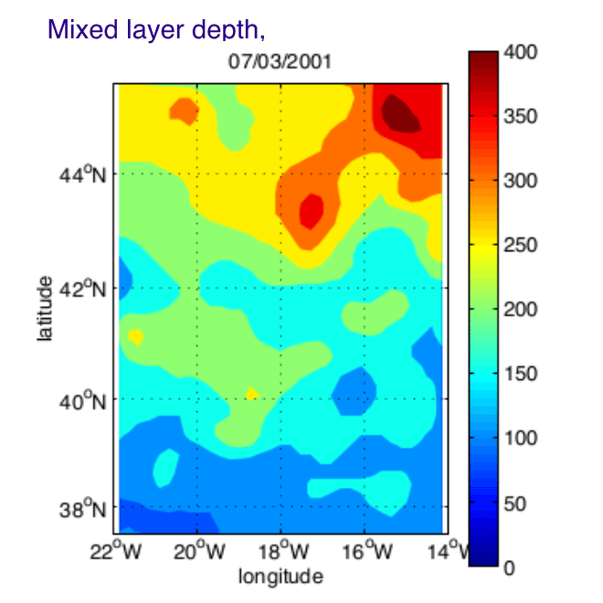
4D fields : TEMP, PSAL, PSI, Mixed layer - 2 GB
- OnLine resource
-
Interpolated data
(
WWW:DOWNLOAD-1.0-link--download
)
Kalman state vector (Data, Innovation and residuals) - 18 MB
- OnLine resource
-
Plots
(
WWW:DOWNLOAD-1.0-link--download
)
Plots and animations of temperature, salinity, mixed layer - 73 MB
- OnLine resource
-
Interpolated data
(
WWW:DOWNLOAD-1.0-link--download
)
CTD profiles - 61 MB
- OnLine resource
-
Interpolated data
(
WWW:DOWNLOAD-1.0-link--download
)
Float data : Temperature and current - 563 KB
- OnLine resource
-
Interpolated data
(
WWW:DOWNLOAD-1.0-link--download
)
Mooring data : Temperature, Salinity, Current - 562 KB
- OnLine resource
-
Interpolated data
(
WWW:DOWNLOAD-1.0-link--download
)
Profiler data : Temperature, Salinity - 1 MB
- OnLine resource
-
Interpolated data
(
WWW:DOWNLOAD-1.0-link--download
)
VMADCP current data - 1 MB
- OnLine resource
-
Plots
(
WWW:DOWNLOAD-1.0-link--download
)
In-situ data plots and lists - 32 MB
- OnLine resource
- DOI of the product ( WWW:LINK-1.0-http--metadata-URL )
- OnLine resource
- Seanoe ( rel-canonical )
- Hierarchy level
- Dataset
- File identifier
- seanoe:39477 XML
- Metadata language
- English
- Character set
- UTF8
- Hierarchy level
- Dataset
- Date stamp
- 2022-05-11
- Metadata standard name
- ISO 19115:2003/19139
- Metadata standard version
- 1.0
Overviews
Spatial extent
Provided by
