 Catalogue PIGMA
A comprehensive compilation of the seismic stratigraphy markers along the Adriatic Sea
Simple
- Date (Publication)
- 2021
- Date (Revision)
- 2021-11-19
- Other citation details
-
Pellen Romain, Aslanian Daniel, Rabineau Marina (2021). A comprehensive compilation of the seismic stratigraphy markers along the Adriatic Sea. SEANOE. https://doi.org/10.17882/84576
In addition to properly cite this dataset, it would be appreciated that the following work(s) be cited too, when using this dataset in a publication :
Pellen, R., Aslanian, D., Rabineau, R., Suc, J.-P., Popescu, S.-M., Cavazza, W., Rubino, J.-L., (2022). Structural and Sedimentary Origin of the Gargano - Pelagosa Strait and Impact on Sedimentary Evolution during the Messinian Salinity Crisis. Earth Science Reviews
- Credit
- A scholarship to R. Pellen was provided by the ‘Laboratoire d’Excellence’ LabexMER (ANR-10-LABX-19), a French government-funded project under the program ‘Investissements d’Avenir’ and co-funded by a grant from the Regional Council of Brittany. It was further supported by IFREMER, CNRS and UBO with additional support from the French ‘Actions Marges’ program and the GRI Me´ diterrane´e (Groupement Recherche et Industrie TOTAL-UPMC). The authors are grateful for the help of Alison Chalm (Ifremer) in correcting the English grammar and structure
- Theme
-
- Mediterranean Sea
- Adriatic Sea
- Seismic interpretation
- Neogene
- Mesozoic
- Messinian
- Messinian Salinity Crisis
- Marine geology
- Use limitation
- CC-BY (Creative Commons - Attribution)
- Use constraints
- Other restrictions
- Metadata language
- English
- Topic category
-
- Oceans
))
- Distribution format
-
-
PDF
(
)
-
TEXTE
(
)
-
PDF
(
)
- OnLine resource
-
manuscript - 2 MB
(
WWW:DOWNLOAD-1.0-link--download
)
manuscript - 2 MB
- OnLine resource
-
Quality controlled data
(
WWW:DOWNLOAD-1.0-link--download
)
Seismic horizon -Seabed - 24 MB
- OnLine resource
-
Quality controlled data
(
WWW:DOWNLOAD-1.0-link--download
)
Seismic horizon -Messinian - Top Gessoso Solfifera - Central Adriatic Basin - 8 MB
- OnLine resource
-
Quality controlled data
(
WWW:DOWNLOAD-1.0-link--download
)
Seismic horizon -Messinian - Base Gessoso Solfifera - Central Adriatic Basin - 9 MB
- OnLine resource
-
Quality controlled data
(
WWW:DOWNLOAD-1.0-link--download
)
Seismic horizon -Messinian - Top Upper Unit - Base Pliocene - South Adriatic Basin - 9 MB
- OnLine resource
-
Quality controlled data
(
WWW:DOWNLOAD-1.0-link--download
)
Seismic horizon -Messinian - Top Detritic Unit - South Adriatic Basin - 7 MB
- OnLine resource
-
Quality controlled data
(
WWW:DOWNLOAD-1.0-link--download
)
Seismic horizon -Messinian - Base of Detritic Unit -South Adriatic Basin - 11 MB
- OnLine resource
-
Quality controlled data
(
WWW:DOWNLOAD-1.0-link--download
)
Seismic horizon -Top Mesozoic - 21 MB
- OnLine resource
- DOI of the product ( DOI )
- OnLine resource
- Seanoe ( rel-canonical )
- Hierarchy level
- Dataset
- File identifier
- seanoe:84576 XML
- Metadata language
- English
- Character set
- UTF8
- Hierarchy level
- Dataset
- Date stamp
- 2021-11-19
- Metadata standard name
- ISO 19115:2003/19139
- Metadata standard version
- 1.0
Overviews
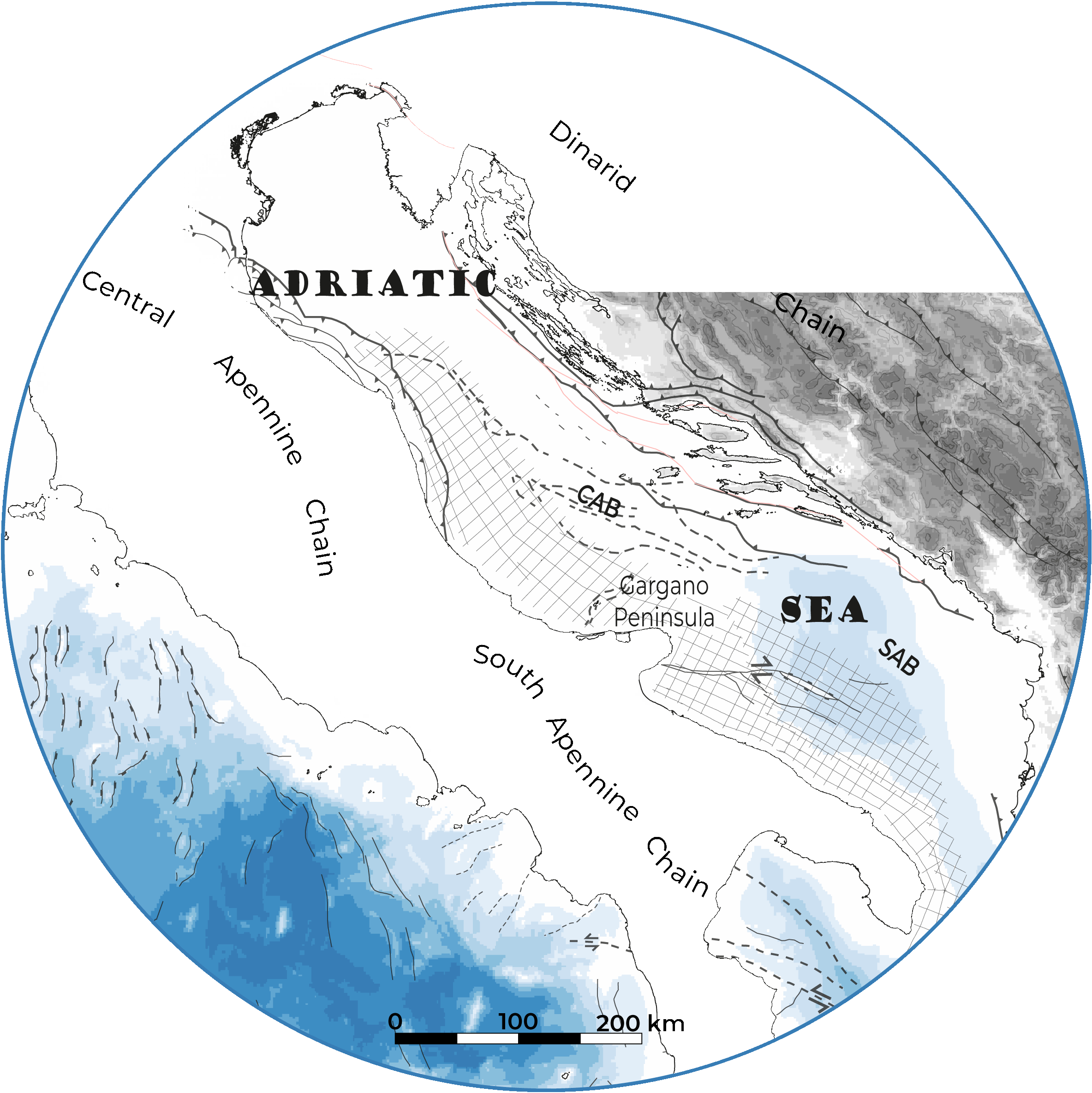
Spatial extent
Provided by
