 Catalogue PIGMA
Industrial activity | Maritime boundaries in Europe | EMODnet Secretariat |
Simple
- Date
- Identifier
- Industrial activity | Maritime boundaries in Europe | EMODnet Secretariat |
- Other citation details
- Maritime Boundaries
- Purpose
- Maritime boundaries in Europe. Maritime boundaries featured in this layer include territorial waters, bi- or multi-lateral boundaries (e.g. in the North Sea) as well as contiguous and exclusive economic zones.
- Status
- onGoing On going
- Maintenance and update frequency
- Unknown
- Used by challenges
-
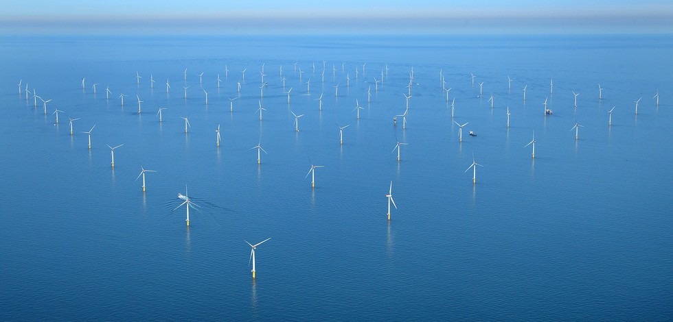
- Atlantic - CH01 - Windfarm Siting
- Environmental matrix
-
- Human activities
- Production mode
-
- Delayed
- Visibility
-
- Search via reference catalogue (e.g. MyOcean, GEOSS Geoportal…)
- Policy visibility
-
- There is detailed information provided to understand data policy
- Readyness
-
- Format proprietary but content clearly specified
- Parameter Discovery Vocabulary (P02)
-
- Industrial activity
- GEMET - INSPIRE themes, version 1.0
-
- Area management/restriction/regulation zones and reporting units
- Processing level of characteristics
-
- High level analyzed
- Data delivery mechanisms
-
- Online discovery + downloading + viewing services (Advanced services)
- Parameter Usage Vocabulary (other)
-
- Maritime boundaries in Europe
- Agreed Parameter Groups (P03)
-
- Human activity
- Service extent
-
- The datasets are provided through an EU Inspire catalogue service (OGC)
- Validation
-
- Submitted
- Access constraints
- Other restrictions
- Other constraints
- Unrestricted
- Use limitation
- Open and Free. No charge
- Spatial representation type
- vector Vector
- Metadata language
- Français
- Character set
- utf8 UTF8
- Topic category
-
- Oceans
- Environment description
- this dataset stablishes the legal sea boundaries in European which underpin national and international legislaton concerning the sea occupation
N
S
E
W
))
- Begin date
- Invalid Date
Vertical extent
- Dimension name
- Time
- Resolution
- 1
- Transformation parameter availability
- Yes
- Checkpoint Availability
- Yes
- Distribution format
-
-
ESRI Shapefile
()
-
ESRI Shapefile
()
- OnLine resource
- Maritime Boundaries ( WWW:LINK )
- OnLine resource
- Emodnet_Lot7_Other_forms_Maritime_boundaries_WGS84.zip ( WWW:LINK )
- Hierarchy level
- Dataset
Domain consistency
- Name of measure
- Responsiveness
Quantitative result
- Value
- Online downloading (i.e. a few hours or less) for release
- Attribute description
- observation
- Content type
- Physical measurement
- File identifier
- 995995d7-0c59-4bb1-9f78-047243a704c5 XML
- Metadata language
- English
- Character set
- UTF8
- Hierarchy level
- Dataset
- Hierarchy level name
- Atlantic - CH01 - Windfarm Siting
- Date stamp
- 2017-11-09T15:25:56Z
- Metadata standard name
- ISO 19115-3 - Emodnet Checkpoint - Upstream Data
- Metadata standard version
- 1.0
Overviews
Spatial extent
N
S
E
W
Provided by

Associated resources
Not available