 Catalogue PIGMA
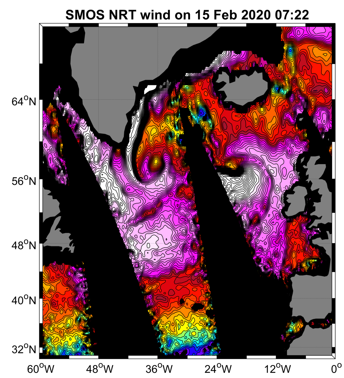
Global Extreme Wind Radiometer Level 2 Dataset for SMOS WIND Project
“SMOS Near Real Time Level 2 swath wind speed” (SMOS L2WS NRT) products, which are SMOS retrieved surface wind speed gridded maps with a spatial sampling of 1/4°x 1/4° and consisting of orbital segments (containing parts of ascending and descending half orbits) following the granularity of the SMOS Level 1B near real time (NRT) data products.
SMOS L2WS NRT products are available within 4 to 6 hours from sensing and are generated in NetCDF-4 format as described in the "SMOS Wind Data Service Product Description Document" (http://www.smosstorm.org/Document-tools/SMOS-Wind-Data-Service-Documentation).
Simple
- Date (Creation)
- 2023-06-20
- Date (Publication)
- 2023-11-23
- Identifier
- CER_L2_WND_GLO_025_SMOS_SMOSWIND / 1.0
- Status
- onGoing On going
- Use limitation
- None
- Access constraints
- unrestricted
- Use constraints
- Other restrictions
- Other constraints
- CC-BY (Creative Commons - Attribution)
- Other constraints
-
Near-Real Time Surface Wind Speed from SMOS satellite and ancillary data on a 0.25 degree resolution grid.
These data were obtained from the ESA-IFREMER-ODL SMOS Wind NRT Data Service project. Dataset accessed [YYYY-MM-DD]. DOI : 10.12770/aad9c726-fe1e-420a-bff2-a00526f9e920
- Spatial representation type
- grid Grid
- Distance
- 25 km
- Topic category
-
- Oceans
))
- Geographic identifier
- Global
- Begin date
- 2018-05-01
- Reference system identifier
- http://www.opengis.net/def/crs/EPSG/0/4326
- Distribution format
-
-
NetCDF 4
(
)
-
NetCDF 4
(
)
OnLine resource
- OnLine resource
-
User guide
(
WWW:LINK
)
ESA reference portal
- OnLine resource
- Digital Object Identifier (DOI) ( DOI )
- Hierarchy level
- Dataset
- Attribute description
- orbit
- Processing level code
- L2 /
- File identifier
- aad9c726-fe1e-420a-bff2-a00526f9e920 XML
- Metadata language
- English
- Character set
- UTF8
- Hierarchy level
- Dataset
- Date stamp
- 2025-11-30T18:59:56.81581Z
- Metadata standard name
- ISO 19115-3:2018 - Remote Sensing
Overviews
Spatial extent
Provided by
