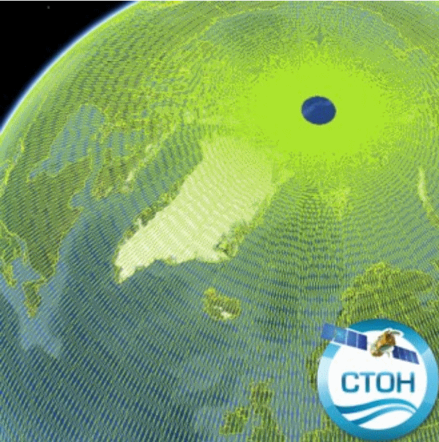
Produit altimétrique Cryosat-2 Baseline C de niveau 2 GDR (monomission, le long de la trace)
GDR L2 from ESA Baseline-C converted by CTOH into netCDF, splited by ascending/descending pass and augmented of recent corrections
Simple
- Date (Publication)
- 2018-10
- Date
- Credit
- CTOH, ESA
- Type de jeux de donnée ODATIS
-
- /Données d'observation/satellite
- Centre de données ODATIS
-
- CDS-SAT-AVISO
- Services Nationaux d'Observation
-
- SNO-CTOH
- ODATIS aggregation parameters and Essential Variable names
-
- Hauteur de la surface de la mer
- Use limitation
- The only limitation is to reference the CTOH while using these data.
- Access constraints
- Copyright
- Use constraints
- Copyright
- Spatial representation type
- grid Grid
- Metadata language
- Français
- Character set
- utf8 UTF8
- Topic category
-
- Oceans
N
S
E
W
))
- Begin date
- 2010-10-01
- Geometric object type
- Complex
- Distribution format
-
-
(
)
-
(
)
- OnLine resource
- CTOH ( WWW:LINK )
- Hierarchy level
- Dataset
- File identifier
- b8abc0fb-7bfa-4129-9390-779b2ee30008 XML
- Metadata language
- Français
- Character set
- UTF8
- Parent identifier
- Produit altimétrique de niveau 2 GDR (monomission, le long de la trace), plusieurs missions disponibles 43feec26-ee31-4fe3-9556-3ad5528fe0b7
- Hierarchy level
- Dataset
- Date stamp
- 2025-05-15T23:53:10.433885Z
- Metadata standard name
- ISO 19115-3 - SEXTANT ISO 19115-3 - SEXTANT
- Metadata standard version
- 1.0
Overviews

Odatis CDS-SAT-Toulouse CTOH Cryosat2
Spatial extent
N
S
E
W
))
Provided by

Associated resources
Not available
 Catalogue PIGMA