 Catalogue PIGMA
Coastal zones derived from Corine Land Cover classes 52x (raster 100m), Jun. 2012
Simple
- Date (Creation)
- 2012-06-07
- Identifier
- eea_r_3035_100_m_clc-buffer-52x_p_2012_v16_r00
- GEMET - INSPIRE themes, version 1.0
-
- Elevation
- Keywords
-
- Keywords
-
- GEMET
-
- coast
- sea
- EEA topics
-
- Seas and coasts
- Sous-regions marines
-
- /Métropole
- /Métropole/Manche mer du Nord
- /Métropole/Mers Celtiques
- /Métropole/Golfe de Gascogne
- /Métropole/Méditerranée occidentale
- Thématiques - SIMM
-
- /Etat du Milieu/Littoral
- Type de jeux de donnée - ODATIS
-
- /Données dérivées/Produits composites
- Type de jeux de donnée - ODATIS
-
- /Télédétection
- Use limitation
- License CC-BY 4.0 (https://creativecommons.org/licenses/by/4.0/). Copyright holder: European Environment Agency (EEA).
- Access constraints
- Other restrictions
- Other constraints
- no limitations to public access
- Spatial representation type
- grid Grid
- Distance
- 100 m
- Metadata language
- English
- Character set
- utf8 UTF8
- Topic category
-
- Environment
- Geoscientific information
))
- Begin date
- 2006-01-01
- End date
- 2006-12-31
- Unique resource identifier
- EPSG:3035
- Distribution format
-
-
GeoTIFF
(
)
-
GeoTIFF
(
)
- OnLine resource
- https://sdi.eea.europa.eu/webdav/datastore/public/eea_r_3035_100_m_clc-buffer-52x_p_2012_v16_r00/ ( EEA:FOLDERPATH )
- OnLine resource
- Direct download ( WWW:URL )
- Hierarchy level
- Dataset
Domain consistency
Conformance result
- Date (Publication)
- 2010-12-08
- Explanation
- See the referenced specification
- Statement
-
0. Get access to the CLC v.16 100 m raster datasets:
Corine Land Cover 2000 raster data - version 16
Corine Land Cover 2006 raster data - version 16
Corine Land Cover 1990 raster data - version 16
Corine Land Cover 2000 - 2006 harmonised changes - version 16
Corine Land Cover 1990 - 2000 harmonised changes - version 16
1. Generate layers FK90 and FK00 as described in LEAC_methodology_report_2011.pdf
In GRASS:
r.mapcalc FK00 = "(cha06_00 != 990 ? cha06_00 : clc06 != 990 ? clc06 : clc00)"
r.mapcalc FK90 = "(clc90 == 990 ? 990 : cha00_90 != 990 ? cha00_90 : FK00)"
2. Generate the coastal zones in GRASS as buffers of the SEA areas, according to the attached buffer.sh script
Before generating buffer_52x_1_to_10km, input layers: clc06, FK00 and FK90 have to be reclassified as follows:
521 = 523 # 521 (coastal lagoons) is now treated as part of the SEA
522 = 523 # 522 (Estuaries) is now treated as part of the SEA
* = * # Anything else remains as it was
- File identifier
- 1ae48a16-89b7-4568-aae8-2308f254e2cf XML
- Metadata language
- English
- Character set
- UTF8
- Hierarchy level
- Dataset
- Date stamp
- 2025-10-09T10:38:55.538814Z
- Metadata standard name
- ISO 19115/19139
- Metadata standard version
- 1.0
Overviews
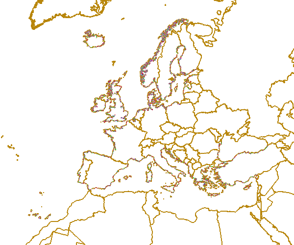
Spatial extent
Provided by
