 Catalogue PIGMA
Global Remote Sensing Multi-Mission Along-Track Significant Wave Height (SWH) from SAR Wave Mode onboard Sentinel-1 A and Sentinel-1 B, L2P product, Version 3, from ESA Sea State CCI
The ESA Sea State Climate Change Initiative (CCI) project has produced global multi-sensor time-series of along-track satellite synthetic aperture radar (SAR) significant wave height (SWH) data (referred to as SAR WV onboard Sentinel-1 Level 2P (L2P) SWH data) with a particular focus for use in climate studies.
This dataset contains the Sentinel-1 SAR Remote Sensing Significant Wave Height product (version 1.0), which is part of the ESA Sea State CCI Version 3.0 release. This product provides along-track SWH measurements at 20km resolution every 100km, processed using the Quach et al statistical model , separated per satellite and pass, including all measurements with flags, corrections and extra parameters from other sources. These are expert products with rich content and no data loss. The SAR Wave Mode data used in the Sea State CCI dataset v3 come from Sentinel-1 satellite missions spanning from 2015 to 2021 (Sentinel-1 A, Sentinel-1 B).
Simple
- Date (Creation)
- 2022-10-10
- Date (Publication)
- 2022-10-10
- Identifier
- ESACCI-SEASTATE-L2P-SWH-Sentinel-1-WV-QUACH2020 / 3.0
- Status
- completed Completed
- GEMET - INSPIRE themes, version 1.0
-
- Oceanographic geographical features
- Cersat - Parameter
-
- Ocean Waves
- Cersat - Latency
-
- Historical
- Cersat - GCMD parameter
-
- /Ocean Waves/Significant Wave Height
- Centre de données ODATIS
-
- CDS-CERSAT
- Type de jeux de donnée ODATIS
-
- /Observational data/satellite
- Use limitation
- None
- Access constraints
- unrestricted
- Use constraints
- Other restrictions
- Other constraints
- CC-BY (Creative Commons - Attribution)
- Other constraints
- Grouazel, A.; Stopa, J.; Piollé, J.-F.; Mouche, A.; Sadowski, P. (2022): ESA Sea State Climate Change Initiative (Sea_State_cci): Global remote sensing multi-mission along-track significant wave height (SWH) from SAR WV onboard Sentinel-1A & 1B, L2P product, release version 3.. NERC EDS Centre for Environmental Data Analysis, 13 October 2022. doi:10.5285/81bab8b378db443db4482a5961a58ec1. http://dx.doi.org/10.5285/81bab8b378db443db4482a5961a58ec1
- Spatial representation type
- grid Grid
- Distance
- 10 km
- Topic category
-
- Oceans
))
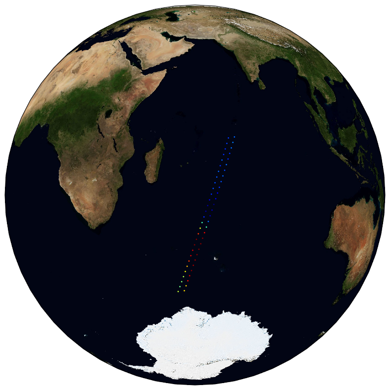
- Geographic identifier
- Global
- Begin date
- 2015-01-15
- End date
- 2021-07-08
- Reference system identifier
- http://www.opengis.net/def/crs/EPSG/0/4326
- Distribution format
-
-
NetCDF
(
4
)
-
NetCDF
(
4
)
- OnLine resource
-
User guide
(
WWW:LINK
)
Product User Guide
- OnLine resource
-
ESA CCI Archive
(
WWW:LINK
)
HTTPS
- OnLine resource
-
Local path on Datarmor
(
NETWORK:LINK
)
Local path
- OnLine resource
- Digital Object Identifier (DOI) ( DOI )
- Hierarchy level
- Dataset
- Attribute description
- pass
- Processing level code
- L2P /
- File identifier
- 40651c77-a293-4755-a87d-60c5d135bfdd XML
- Metadata language
- English
- Character set
- UTF8
- Hierarchy level
- Dataset
- Date stamp
- 2024-10-15T15:11:06.615746Z
- Metadata standard name
- ISO 19115-3:2018 - Remote Sensing
Overviews
Spatial extent
Provided by
