 Catalogue PIGMA
Skin temperature of the water column | Skin temperature of the water body by infra-red radiometer | SC Marine Research SRL | Bathimetry Danube Delta Marine Zone
Simple
- Alternate title
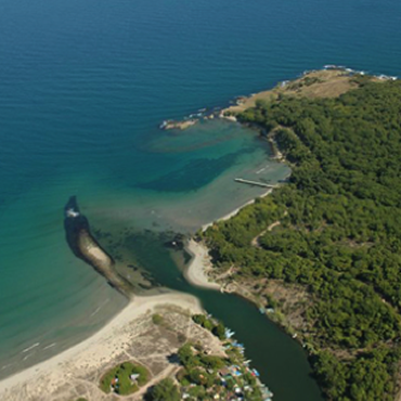
- Bathimetry Danube Delta Marine Zone
- Date
- Identifier
- Skin temperature of the water column | Skin temperature of the water body by infra-red radiometer | SC Marine Research SRL | Bathimetry Danube Delta Marine Zone
- Purpose
- Gridded mean sea level trends over Europe (30°N-60°N 15°W-42°E) (mm/year) on a 1/4° rectangular grid (October 14 1992 to December 26 2012)
- Status
- onGoing On going
edmo
SC Marine Research SRL
https://marine-research.com/
6-12, Copilului Street, Sector 1
,
Bucharest
,
012178
,
Romania
+40 732 008 298
https://marine-research.com/
- Maintenance and update frequency
- As needed
- Used by challenges
-
- BlackSea - CH02 - Marine Protected Areas
- Environmental matrix
-
- Marine water
- Production mode
-
- Delayed
- Visibility
-
- Use of social network, community of practices sharing information, portals of organization where no search is organized
- Policy visibility
-
- There is detailed information provided to understand data policy
- Readyness
-
- Format not proprietary and content clearly specified (e.g. autodescriptive like ODV, NetCDF CF) or at least with appropriate document describing the content
- Parameter Discovery Vocabulary (P02)
-
- Skin temperature of the water column
- GEMET - INSPIRE themes, version 1.0
-
- Oceanographic geographical features
- Processing level of characteristics
-
- High level analyzed
- Data delivery mechanisms
-
- Online discovery + downloading + viewing services (Advanced services)
- Parameter Usage Vocabulary (P01)
-
- Skin temperature of the water body by infra-red radiometer
- Agreed Parameter Groups (P03)
-
- Water column temperature and salinity
- Service extent
-
- The datasets are referenced in a public national catalogue, in an international catalogue service
- Validation
-
- Submitted
- Access constraints
- Other restrictions
- Other constraints
- Unrestricted
- Use limitation
- Open and Free. No charge
- Spatial representation type
- vector Vector
- Distance
- 0.25 degrees
- Metadata language
- Français
- Character set
- utf8 UTF8
- Topic category
-
- Oceans
- Environment description
- The data will be used to calculate indicator on the rise over the past 20 years
N
S
E
W
))
- Begin date
- 1993-01-01
- End date
- 2013-12-31
Vertical extent
- Dimension name
- Time
- Resolution
- 1 day
- Transformation parameter availability
- Yes
- Checkpoint Availability
- Yes
- Distribution format
-
-
NetCDF
()
-
NetCDF
()
- Protocol
- WWW:LINK
- OnLine resource
- Bathimetry Danube Delta Marine Zone ( WWW:LINK )
- Hierarchy level
- Dataset
Domain consistency
- Name of measure
- Responsiveness
Quantitative result
- Value
- No information is found on response time
Domain consistency
- Name of measure
- Reliability
Quantitative result
- Attribute description
- observation
- Content type
- Physical measurement
- File identifier
- 5640fd86-d068-46f0-8ac1-d243b8514ad7 XML
- Metadata language
- English
- Character set
- UTF8
- Hierarchy level
- Dataset
- Hierarchy level name
- BlackSea - CH02 - Marine Protected Areas
- Date stamp
- 2025-12-15T14:11:54.479308Z
- Metadata standard name
- ISO 19115-3 - Emodnet Checkpoint - Upstream Data
- Metadata standard version
- 1.0
Overviews
Spatial extent
N
S
E
W
Provided by

Associated resources
Not available