 Catalogue PIGMA
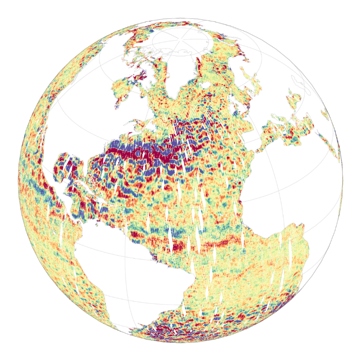
[A SUPPRIMER] Altimetry product SWOT Level-2 KaRIn Low Rate SSH
The Level-2 Ka-band Radar Interferometer (KaRIn) low rate (LR, ocean) sea surface height (SSH) data product from the Surface Water and Ocean Topography (SWOT) mission, also referenced by the short name L2_LR_SSH, provides ocean topography measurements from the low rate ocean data stream of the KaRIn instrument, spanning 60 km on either side of the nadir altimeter with a nadir gap. The L2_LR_SSH product is available continuously and globally, although different versions of the product may be produced at different latencies and/or through different reprocessing with refined input data. Note that L2_LR_SSH does not include SSH data from the SWOT nadir altimeter.
SWOT launched on December 16, 2022 into a 1-day repeat orbit for the "calibration" or "fast-sampling" phase of the mission, which completed in early July 2023. After the calibration phase, SWOT entered a 21-day repeat orbit in August 2023 to start the "science" phase of the mission.
The SWOT L2_LR_SSH product is organized in four files : ['Basic'], ['WindWave'], ['Expert'] and ['Unsmoothed'], each identified by its own DOI and described on a metadata sheet via the links below.
- The ['Basic'] file is intended for users who are interested in SSH measurements and who will use the KaRIn measurements as provided.
- The ['WindWave'] file is intended for users interested in wind and wave information. The ['Unsmoothed'] file, also intended for expert users, is provided on a finer 'native' grid of 250-m (with minimal smoothing applied), and has a significantly larger data volume than the other files.
- The ['Expert'] file is intended for expert users who are interested in the details of how the KaRIn measurements were derived and who may use detailed information for their own custom processing.
- The ['Unsmoothed'] file, also intended for expert users, is provided on a finer 'native' grid of 250-m (with minimal smoothing applied), and has a significantly larger data volume than the other files.
Variables included:
- Basic L2_LR_SSH includes corrected sea surface height (SSH), sea surface height anomaly (SSHA), data quality flags, geophysical reference fields, and height correction information on a 2 km geographically fixed grid.
- WindWave L2_LR_SSH includes measured significant wave height (SWH), normalized radar cross section (NRCS or backscatter cross section or sigma0), wind speed derived from sigma0 and SWH, wind and wave model information, and quality flags on a 2 km geographically fixed grid.
- Expert L2_LR_SSH, which includes copies of all variables in the Basic and WindWave files, plus more detailed information on the KaRIn instrument and environmental corrections, radiometer data, and geophysical models on a 2 km geographically fixed grid.
- Unsmoothed L2_LR_SSH, which includes sea surface height (SSH) and sigma0 without additional smoothing relative to the native KaRIn downlink resolution on a ~250 m native (center-beam) grid. The Unsmoothed file contains two groups, left and right, each of which contains the data for half (one side from nadir) of the KaRIn swath.
August 2024: V2.0
L2_LR_SSH version 2.0 (version C) products declared as validated by the SWOT project.
March 2024: V2.0
Production and distribution of the pre-validated L2_LR_SSH version 2.0 (or version C) products:
- PIC0 for forward-processed version C products: November 23, 2023 to present,
- PGC0 for reprocessed version C products: - March 30 to July 10, 2023 (phase CalVal) and from July 26,2023 to January 25, 2024 (phase Science)
November 2023: V1.0
The beta pre-validated L2_LR_SSH version 1.0 product (summer 2023 reprocessing release) is available only for the 1-day CalVal orbit phase, from March 29 to July 10, 2023, and the 21-day Science orbit phase from September 7 to November 21, 2023.
Simple
- Date (Creation)
- 2023-12-22
- Date (Publication)
- 2024-03-05
- Identifier
- product KaRIn / 2.0
- Status
- accepted accepted
- GEMET - INSPIRE themes, version 1.0
-
- Oceanographic geographical features
- Cersat - Parameter
-
- Sea Surface Topography
- Cersat - Project
-
- SWOT
- Cersat - Latency
-
- Less than 4 months
- Cersat - GCMD parameter
-
- /Sea Surface Topography/Sea Surface Height
- Centre de données ODATIS
-
- CDS-AVISO
- Type de jeux de donnée ODATIS
-
- /Observational data/satellite
- ODATIS aggregation parameters and Essential Variable names
-
- Tides
- Currents
- Sea surface height
- Specific usage
- Update
- Use limitation
- None
- Access constraints
- License
- Use constraints
- Other restrictions
- Other constraints
- Condition of access : SWOT_L2_LR_SSH product is distributed by the SWOT project (NASA/JPL and CNES) in collaboration with the SWOT Science Team. To date, the SWOT L2 beta pre-validated L2_LR_SSH product is only made available to support SWOT mission validation. Note that this product is subject to the standard AVISO+ license agreement: https://www.aviso.altimetry.fr/fileadmin/documents/data/License_Aviso.pdf
- Unique resource identifier
- aa2927ad-d1d6-4867-89d3-1311bc11e6bb
- Association Type
- Cross reference
- Unique resource identifier
- 2652e825-9ade-435c-afdd-eb920d01b018
- Association Type
- Cross reference
- Initiative Type
- Collection
- Unique resource identifier
- 681332a5-4b44-48cb-a28c-023962b21d83
- Association Type
- Cross reference
- Spatial representation type
- grid Grid
- Distance
- 2 km
- Topic category
-
- Oceans
))
- Begin date
- 2023-03-30
- Reference system identifier
- http://www.opengis.net/def/crs/EPSG/0/4326
- Distribution format
-
-
NetCDF
(
4
)
-
NetCDF
(
4
)
OnLine resource
- OnLine resource
-
Other document
(
WWW:LINK
)
AVISO website
- OnLine resource
-
Software
(
WWW:LINK
)
Tutorials, notebooks, GitHub SWOT community
- OnLine resource
-
Other document
(
WWW:LINK
)
AVISO SWOT Orbit files (kml and shapefile) for the 1-day and 21-day orbits
- OnLine resource
-
User guide
(
WWW:LINK
)
User Guide L2 KaRIn LR SSH product
- OnLine resource
-
Other document
(
WWW:LINK
)
PODAAC website
- OnLine resource
-
Web link (URL)
(
WWW:LINK
)
Altimetry product SWOT Level-2 KaRIn Low Rate SSH - Basic
- OnLine resource
-
Web link (URL)
(
WWW:LINK
)
Altimetry product SWOT Level-2 KaRIn Low Rate SSH - WindWave
- OnLine resource
-
Web link (URL)
(
WWW:LINK
)
Altimetry product SWOT Level-2 KaRIn Low Rate SSH - Expert
- OnLine resource
-
Web link (URL)
(
WWW:LINK
)
Altimetry product SWOT Level-2 KaRIn Low Rate SSH - Unsmoothed
- OnLine resource
-
Thredds SWOT L2_LR_SSH
(
WWW:LINK
)
THREDDS
- Distribution format
-
- Hierarchy level
- Dataset
- Date / Time
- V0.3 2023-12-22
- Hierarchy level
- Dataset
- Attribute description
- pass
- Processing level code
- L2 /
Overviews
Spatial extent
Provided by
