 Catalogue PIGMA
Concentration of suspended particulate material in the water column | Concentration of suspended particulate material {SPM} per unit volume of the water body | Food and Agriculture Organization of the United Nations | World River Sediment Yields
Simple
- Alternate title
- World River Sediment Yields
- Date
- Identifier
- Concentration of suspended particulate material in the water column | Concentration of suspended particulate material {SPM} per unit volume of the water body | Food and Agriculture Organization of the United Nations | World River Sediment Yields
- Purpose
- Data on annual sediment yields in worldwide rivers
- Status
- onGoing On going
- Maintenance and update frequency
- Unknown
- Used by challenges
-
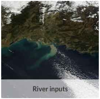
- MedSea - CH07 - River Inputs
- Environmental matrix
-
- Fresh water
- Production mode
-
- Delayed
- Parameter Discovery Vocabulary (P02)
-
- Concentration of suspended particulate material in the water column
- GEMET - INSPIRE themes, version 1.0
-
- Hydrography
- Processing level of characteristics
-
- Observation (raw, QC)
- Data delivery mechanisms
-
- Online downloading services
- Parameter Usage Vocabulary (P01)
-
- Concentration of suspended particulate material {SPM} per unit volume of the water body
- Parameter Usage Vocabulary (other)
-
- Concentration of suspended particulate material
- Agreed Parameter Groups (P03)
-
- Suspended particulate material
- Service extent
-
- The datasets are provided through an EU Inspire catalogue service (OGC)
- Visibility
-
- Search via reference catalogue (e.g. MyOcean, GEOSS Geoportal…)
- Policy visibility
-
- There is detailed information provided to understand data policy
- Readyness
-
- Format not proprietary and content clearly specified (e.g. autodescriptive like ODV, NetCDF CF) or at least with appropriate document describing the content
- Validation
-
- Submitted
- Access constraints
- Other restrictions
- Other constraints
- Unrestricted
- Use limitation
- Open and Free. No charge
- Spatial representation type
- vector Vector
- Distance
- 100
- Metadata language
- Français
- Character set
- utf8 UTF8
- Topic category
-
- Oceans
- Environment description
-
Long-term sediment flux (concentration) trends
Impact of dams in sediment retention, impact on river delta evolution
N
S
E
W
))
- Begin date
- 1984-01-01T00:00:00
Vertical extent
- Minimum value
- 0
- Maximum value
- 10
- Dimension name
- Time
- Resolution
- 1
- Transformation parameter availability
- Yes
- Checkpoint Availability
- Yes
- Distribution format
-
-
Ascii
()
-
Excel files
()
-
ESRI Shapefile
()
-
Ascii
()
- Protocol
- WWW:LINK
- Protocol
- WWW:LINK
- Name
- Identifier of the dataset in the catalogue
- Hierarchy level
- Dataset
Domain consistency
- Name of measure
- Responsiveness
Quantitative result
- Value
- Less or equal to 1 week for release
- Attribute description
- observation
- Content type
- Physical measurement
- File identifier
- b2312de7-25ea-45aa-a596-e0d42d30a935 XML
- Metadata language
- English
- Character set
- UTF8
- Hierarchy level
- Series
- Hierarchy level name
- MedSea - CH07 - River Inputs
- Date stamp
- 2017-08-24T12:28:58Z
- Metadata standard name
- ISO 19115-3 - Emodnet Checkpoint - Upstream Data
- Metadata standard version
- 1.0
Overviews

thumbnail
large_thumbnail
Spatial extent
N
S
E
W
Provided by

Associated resources
Not available