 Catalogue PIGMA
Wind strength and direction | Wind speed (10m) in the atmosphere by model prediction | ORECCA |
Simple
- Date
- Identifier
- Wind strength and direction | Wind speed (10m) in the atmosphere by model prediction | ORECCA |
- Other citation details
- European Offshore Renewable Energy Roadmap. Wind intensity webGIS layer
- Purpose
- The goals of the ORECCA project (Off-shore Renewable Energy Conversion platforms – Coordination Action) are to create a framework for knowledge sharing and to develop a roadmap for research activities in the context of offshore renewable energy that are a relatively new and challenging field of interest.
- Status
- onGoing On going
edmerp
Off-shore Renewable Energy Conversion platforms- Coordination Action
-
ORECCA
Germany
http://www.orecca.eu/project
- Maintenance and update frequency
- As needed
- Used by challenges
-
- Atlantic - CH01 - Windfarm Siting
- Environmental matrix
-
- Air
- Production mode
-
- Delayed
- Visibility
-
- Use of open search engines, searching by name either the data provider or the characteristics
- Policy visibility
-
- There is detailed information provided to understand data policy
- Readyness
-
- Format proprietary but content clearly specified
- Parameter Discovery Vocabulary (P02)
-
- Wind strength and direction
- GEMET - INSPIRE themes, version 1.0
-
- Energy resources
- Processing level of characteristics
-
- High level analyzed
- Data delivery mechanisms
-
- No information was found on data delivery mechanisms
- Parameter Usage Vocabulary (P01)
-
- Wind speed (10m) in the atmosphere by model prediction
- Agreed Parameter Groups (P03)
-
- Meteorology
- Service extent
-
- Data sets are not referenced in a catalogue or are referenced in a non public catalogue
- Validation
-
- Submitted
- Access constraints
- Other restrictions
- Other constraints
- Unrestricted
- Use limitation
- Open and Free. No charge
- Spatial representation type
- vector Vector
- Metadata language
- Français
- Character set
- utf8 UTF8
- Topic category
-
- Oceans
- Environment description
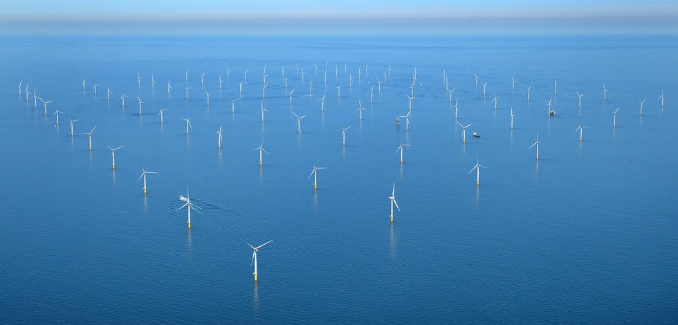
- WebGIS data displays low resolution maps over the European atlantic area of wind velocity at 10 m spatial distribution. It can support windfarm siting suitability
N
S
E
W
))
Vertical extent
- Number of dimensions
- 2
- Dimension name
- Time
- Resolution
- 1
- Transformation parameter availability
- Yes
- Checkpoint Availability
- Yes
- Distribution format
-
-
GML
()
-
GML
()
- OnLine resource
- ORECCA WebGIS ( WWW:LINK )
- OnLine resource
- resources-wind map ( WWW:LINK )
- Hierarchy level
- Dataset
Domain consistency
- Name of measure
- Responsiveness
Quantitative result
- Value
- Online downloading (i.e. a few hours or less) for release
- Statement
- NA
- Hierarchy level
- datasetComponent
N
S
E
W
))
Vertical extent
- Other
- zdfdhdhfgh
- Other
- fgfgdfbg
- Other
- Air|Wind speed and direction|Wind direction from (10m) in the atmosphere by model prediction|Forecast/Hindcast|Delayed
Completeness omission
- Name of measure
- Horizontal Spatial Coverage
- Measure identification
- AP.1.1
- Measure description
- Horizontal coverage extent of product (eg : surface of the Mediterranean Sea)
Quantitative result
- Value type
- Real
gmd:DQ_DescriptiveResult
- Date / Time
- 2017-06-08T00:00:00
Completeness omission
- Name of measure
- Vertical Spatial Coverage
- Measure identification
- AP.1.2
- Measure description
- Vertical coverage extent of product
Quantitative result
- Value type
- Real
gmd:DQ_DescriptiveResult
- Date / Time
- 2017-06-08T00:00:00
Completeness omission
- Name of measure
- Temporal Coverage
- Measure identification
- AP.1.3
- Measure description
- Temporal coverage extent of product
Quantitative result
- Value type
- Integer
gmd:DQ_DescriptiveResult
- Date / Time
- 2017-06-08T00:00:00
Conceptual consistency
- Name of measure
- Number of Characteristics
- Measure identification
- AP.2.1
- Measure description
- Number of characteristics in product
Quantitative result
- Value type
- Integer
gmd:DQ_DescriptiveResult
- Date / Time
- 2017-06-08T00:00:00
Thematic classification correctness
- Name of measure
- Horizontal resolution
- Measure identification
- AP.3.1
- Measure description
- Horizontal mesh size or equivalent value for the given scale of product (eg 50m for 1/50 000)
Quantitative result
- Value type
- Integer
gmd:DQ_DescriptiveResult
- Date / Time
- 2017-06-08T00:00:00
Thematic classification correctness
- Name of measure
- Vertical resolution
- Measure identification
- AP.3.2
- Measure description
- Average vertical sampling
Quantitative result
- Value type
- Real
gmd:DQ_DescriptiveResult
- Date / Time
- 2017-06-08T00:00:00
Thematic classification correctness
- Name of measure
- Temporal resolution
- Measure identification
- AP.3.3
- Measure description
- Temporal sampling interval of product
Quantitative result
- Value type
- Real
gmd:DQ_DescriptiveResult
- Date / Time
- 2017-06-08T00:00:00
Quantitative attribute accuracy
- Name of measure
- Thematic accuracy
- Measure identification
- AP.3.4
- Measure description
- Percentage error of the product and description of error concept for the product (100 words max) provided by expert
Quantitative result
- Value type
- Percentage
Temporal validity
- Name of measure
- Temporal validity
- Measure identification
- AP.4.1
- Measure description
- Max elapsed time between last input data records update and product creation date. Minimum value 1/24 day.
Quantitative result
- Value type
- Integer
gmd:DQ_DescriptiveResult
- Date / Time
- 2017-06-08T00:00:00
- Statement
- NA
- Attribute description
- observation
- Content type
- Physical measurement
- Description
- 10
- File identifier
- d81fc155-592c-41d6-83a0-944183db471f XML
- Metadata language
- English
- Character set
- UTF8
- Hierarchy level
- Dataset
- Hierarchy level name
- Atlantic - CH01 - Windfarm Siting
- Date stamp
- 2018-02-16T08:09:43Z
- Metadata standard name
- ISO 19115-3 - Emodnet Checkpoint - Upstream Data
- Metadata standard version
- 1.0
Overviews
Spatial extent
N
S
E
W
N
S
E
W
Provided by

Associated resources
Not available