 Catalogue PIGMA
Transport activity | Vessel Traffic Density | Bureau of Ocean Energy Management | AIS_count_all_vessels_atl_2010_shapefile.zip
Simple
- Alternate title
- AIS_count_all_vessels_atl_2010_shapefile.zip
- Date
- Identifier
- Transport activity | Vessel Traffic Density | Bureau of Ocean Energy Management | AIS_count_all_vessels_atl_2010_shapefile.zip
- Other citation details
- AIS – BOEM Vessel Traffic Density Analysis 2010 (Atlantic)
- Purpose
- Total number of vessels transiting each leasing aliquot during 2010 for the Atlantic OCS and coastal waters
- Status
- onGoing On going
edmerp
Renewable Energy Program
-
Renewable Energy Program
http://www.boem.gov/Renewable-Energy-GIS-Data/
http://www.boem.gov/Renewable-Energy-GIS-Data/
edmo
Bureau of Ocean Energy Management
http://www.boem.gov
Office of Public Affairs
,
Washington
,
20240
,
United States
+1 202 208 6474
http://www.boem.gov
- Maintenance and update frequency
- Unknown
- Used by challenges
-
- Atlantic - CH01 - Windfarm Siting
- Environmental matrix
-
- Human activities
- Production mode
-
- Delayed
- Visibility
-
- Search via reference catalogue (e.g. MyOcean, GEOSS Geoportal…)
- Policy visibility
-
- There is detailed information provided to understand data policy
- Readyness
-
- Format not proprietary and content clearly specified (e.g. autodescriptive like ODV, NetCDF CF) or at least with appropriate document describing the content
- Parameter Discovery Vocabulary (P02)
-
- Transport activity
- GEMET - INSPIRE themes, version 1.0
-
- Transport networks
- Processing level of characteristics
-
- High level analyzed
- Data delivery mechanisms
-
- Online discovery and downloading services
- Parameter Usage Vocabulary (other)
-
- Vessel Traffic Density
- Agreed Parameter Groups (P03)
-
- Human activity
- Service extent
-
- The datasets are referenced in a public national catalogue, in an international catalogue service
- Validation
-
- Submitted
- Access constraints
- Other restrictions
- Other constraints
- Unrestricted
- Use limitation
- Open and Free. No charge
- Spatial representation type
- vector Vector
- Metadata language
- Français
- Character set
- utf8 UTF8
- Topic category
-
- Oceans
- Environment description
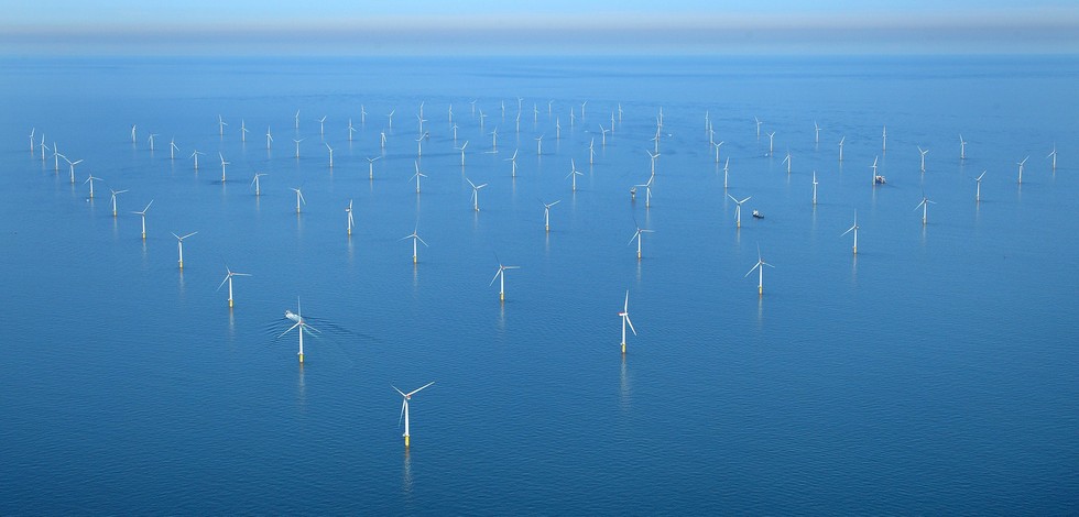
- Data for evaluating the conficting impact of OWF siting with vessel traffic routes.
N
S
E
W
))
- Begin date
- 2010-01-01T00:00:00
- End date
- 2010-12-31T00:00:00
Vertical extent
- Dimension name
- Time
- Resolution
- 1 year
- Transformation parameter availability
- Yes
- Checkpoint Availability
- Yes
- Distribution format
-
-
ESRI Shapefile
()
-
ESRI Shapefile
()
- OnLine resource
- Renewable Energy GIS Data ( WWW:LINK )
- OnLine resource
- AIS_count_all_vessels_atl_2010_shapefile.zip ( WWW:LINK )
- Hierarchy level
- Dataset
Domain consistency
- Name of measure
- Responsiveness
Quantitative result
- Value
- Online downloading (i.e. a few hours or less) for release
Domain consistency
- Name of measure
- Reliability
Quantitative result
- Statement
- NA
- Attribute description
- observation
- Content type
- Physical measurement
- File identifier
- 29057909-e72d-4dcb-a248-dc8796375846 XML
- Metadata language
- English
- Character set
- UTF8
- Hierarchy level
- Dataset
- Hierarchy level name
- Atlantic - CH01 - Windfarm Siting
- Date stamp
- 2016-11-17T12:33:44Z
- Metadata standard name
- ISO 19115-3 - Emodnet Checkpoint - Upstream Data
- Metadata standard version
- 1.0
Overviews
Spatial extent
N
S
E
W
Provided by

Associated resources
Not available