 Catalogue PIGMA
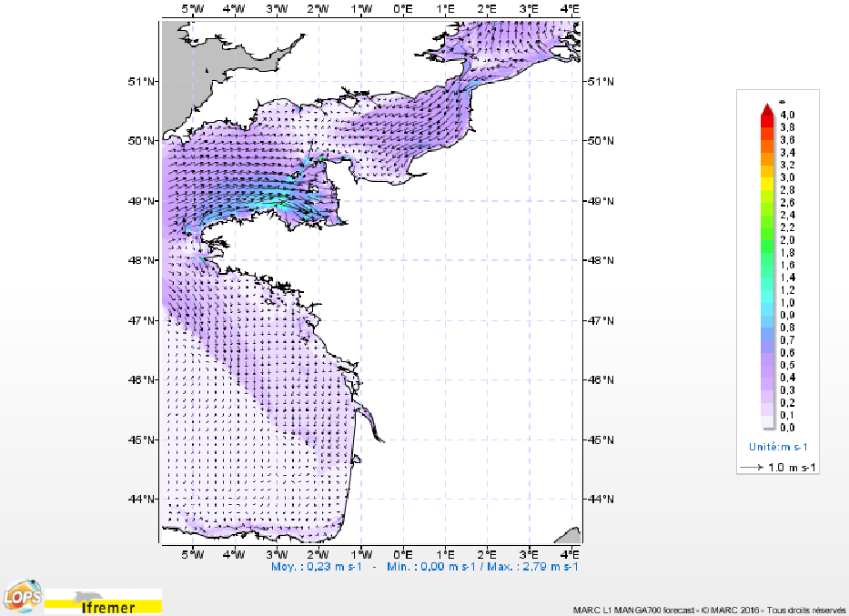
Prévisions hydrodynamiques (MARS2D) pour la façade Atlantique Nord Est (L1-MARS2D-ATLNE2000)
Simple
- Date (Creation)
- 2013-12-11
- Identifier
- FR-330-715-368-00032-IFR-L1-MARS2D-ATLNE2000
- Credit
- MARC
02 98 22 48 64
- GEMET - INSPIRE themes, version 1.0
-
- Caractéristiques géographiques océanographiques
- Thèmes Sextant
-
- /Milieu physique/Hydrodynamique/Colonne d'eau
- Sous-regions marines
-
- /Métropole/Manche mer du Nord
- /Métropole/Golfe de Gascogne
- /Métropole/Mers Celtiques
- Thématiques - SIMM
-
- Recherche
- /Etat du Milieu/Hydrodynamique
- ODATIS aggregation parameters and Essential Variable names
-
- Courants
- Hauteur de la surface de la mer
- Type de jeux de donnée ODATIS
-
- Données de simulation
- Use limitation
- Données sous Licence ouverte / Open licence : http://www.etalab.gouv.fr/pages/licence-ouverte-open-licence-5899923.html
- Access constraints
- Other restrictions
- Use constraints
- Copyright
- Spatial representation type
- grid Grid
- Metadata language
- Français
- Character set
- utf8 UTF8
- Topic category
-
- Oceans
))
- Begin date
- 2006-01-01
- Reference system identifier
- EPSG / WGS 84 (EPSG:4326) / 8.6
- Distribution format
-
-
(
)
-
(
)
- OnLine resource
-
U
(
OGC:WMS
)
Barotropic zonal velocity
- OnLine resource
- /home/ref-marc/l1_v9 ( NETWORK:LINK )
- OnLine resource
- Site web MARC ( WWW:LINK )
- Protocol
- FILE
- Name
- HTTP MARC_L1-MARS2D-ATLNE2000
- Description
- http data access
- Function
- Download
- Protocol
- FILE
- Name
- FTP MARC_L1-MARS2D-ATLNE2000/
- Description
- ftp access via form
- Function
- Download
- OnLine resource
-
DELTA_U
(
OGC:WMS
)
Barotropic zonal velocity anomaly
- OnLine resource
-
V
(
OGC:WMS
)
Barotropic meridional velocity
- OnLine resource
-
DELTA_V
(
OGC:WMS
)
Barotropic meridional velocity anomaly
- OnLine resource
-
XE
(
OGC:WMS
)
Sea surface height
- OnLine resource
-
DELTA_XE
(
OGC:WMS
)
Sea surface height anomaly
- OnLine resource
- Opendap ( WWW:DOWNLOAD )
- Hierarchy level
- Dataset
- Statement
-
Les paramètres calculés disponibles sont les suivants :
* XE : sea_surface_height_above_sea_level
* U : barotropic_sea_water_x_velocity
* V : barotropic_sea_water_y_velocity
* DELTA_U : barotropic_sea_water_y_velocity_at_v_location_anomaly
* DELTA_V : barotropic_sea_water_x_velocity_at_u_location_anomaly
* DELTA_XE : sea_surface_height_above_sea_level_anomaly
- File identifier
- 43dc3487-add9-4c48-97ed-aa33f23d6dc9 XML
- Metadata language
- Français
- Character set
- UTF8
- Hierarchy level
- Dataset
- Date stamp
- 2025-05-15T22:10:31.050701Z
- Metadata standard name
- ISO 19115-3 - SEXTANT
- Metadata standard version
- 1.0
02 98 22 46 44
02 98 22 48 64
Overviews
Spatial extent
Provided by
