Catalogue PIGMA
SPOT6/7 - flux IGN
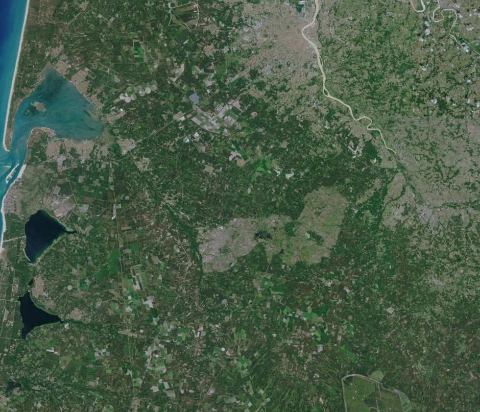
Images satellites SPOT (de 2013 à 2023) accessibles par flux WMS fournis par l'IGN (accessible dans l'onglet "API").
### **[Visualisation des images disponibles](https://www.pigma.org/onegeo-maps/#/map/335?)**
Simple
- Date (Creation)
- 2024-10-07
- Identifier
- 949dc83a-119a-4f88-992e-f02ed7abefb3
- GEMET - INSPIRE themes, version 1.0
-
- Étendue géographique des données
- Theme
-
- satellite
- Use limitation
- Conditions inconnues
- Access constraints
- otherRestrictions Other restrictions
- Other constraints
- Conditions inconnues
- Spatial representation type
- vector Vector
- Metadata language
- freFrançais
- Topic category
-
- imagerie-et-occupation-du-sol
- Hierarchy level
- dataset Dataset
- File identifier
- 949dc83a-119a-4f88-992e-f02ed7abefb3 XML
- Metadata language
- freFrançais
- Hierarchy level
- dataset Dataset
- Date stamp
- 2024-10-07
- Metadata standard name
- INSPIRE Metadata Implementing Rules
- Metadata standard version
- Technical Guidelines based on EN ISO 19115 and EN ISO 19119 (Version 1.2)