 Catalogue PIGMA
WOC North Atlantic Total Surface Current
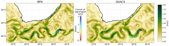
This dataset provides Level 4 total current including geostrophy and a data-driven approach for Ekman and near-inertial current, based on a convolution between drifter observation and wind history, to fit empirically a complex and time-lag dependant transfert function between ERA5 wind stress and current
The data are available through HTTP and FTP; access to the data is free and open. In order to be informed about changes and to help us keep track of data usage, we encourage users to register at: https://forms.ifremer.fr/lops-siam/access-to-esa-world-ocean-circulation-project-data/
This dataset was generated by Datlas and is distributed by Ifremer / CERSAT in the frame of the World Ocean Circulation (WOC) project funded by the European Space Agency (ESA).
Simple
- Date (Creation)
- 2022-05-13
- Date (Publication)
- 2022-05-13
- Identifier
- WOC-L4-CUReul-ENATL_1H-v2.0-fv2 / 2.0
- Status
- completed Completed
- GEMET - INSPIRE themes, version 1.0
-
- Oceanographic geographical features
- Cersat - Parameter
-
- Ocean currents
- Cersat - Project
-
- WOC
- Cersat - Latency
-
- Historical
- Cersat - GCMD parameter
-
- /Ocean Circulation/Ocean Currents
- Centre de données ODATIS
-
- CDS-CERSAT
- Type de jeux de donnée ODATIS
-
- /Observational data/satellite
- Use limitation
- None
- Access constraints
- unrestricted
- Use constraints
- Other restrictions
- Other constraints
- CC-BY (Creative Commons - Attribution)
- Other constraints
- Datlas. 2022. North Atlantic Total Surface Current from ESA WOC project. Ver. 2.0. Obtained from CERSAT / Ifremer, Plouzane, France. Dataset accessed [YYYY-MM-DD].
- Spatial representation type
- grid Grid
- Distance
- 0.25 degree
- Topic category
-
- Oceans
))
- Geographic identifier
- North Atlantic
- Begin date
- 2010-01-01
- End date
- 2019-12-31
- Reference system identifier
- http://www.opengis.net/def/crs/EPSG/0/4326
- Distribution format
-
-
NetCDF
(
4
)
-
NetCDF
(
4
)
- OnLine resource
-
Ifremer HTTP server
(
WWW:LINK
)
HTTPS
- OnLine resource
-
Ifremer FTP server
(
WWW:FTP
)
FTP
- OnLine resource
-
User guide
(
WWW:LINK
)
Product User Manual
- OnLine resource
-
Processing and validation
(
WWW:LINK
)
Algorithm Theoretical Basis Document
- Hierarchy level
- Dataset
- Processing level code
- L4 /
- File identifier
- cfa65be8-b200-4243-aba0-843c363001d9 XML
- Metadata language
- English
- Character set
- UTF8
- Hierarchy level
- Dataset
- Date stamp
- 2024-10-15T14:55:58.309614Z
- Metadata standard name
- ISO 19115-3:2018 - Remote Sensing
Overviews
Spatial extent
Provided by
