Catalogue PIGMA
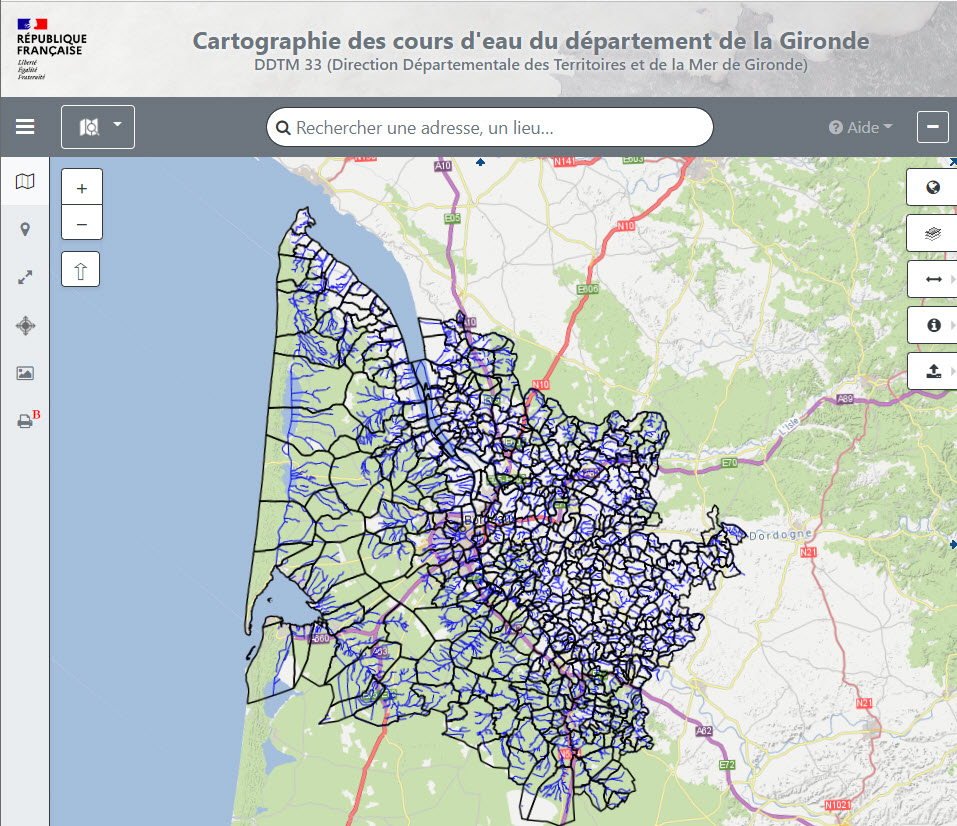
DDTM 33 - Cartographie indicative des cours d'eau du département de la Gironde
Cartographie en vigueur des cours d'eau en Gironde
Simple
- Date (Creation)
- 2022-04-21
- Identifier
- 58eb3eca-e08c-430c-9380-eb39417719b9
- GEMET - INSPIRE themes, version 1.0
-
- Région
- Theme
-
- gironde
- cours d'eau
- Access constraints
- otherRestrictions Other restrictions
- Spatial representation type
- vector Vector
- Metadata language
- freFrançais
- Topic category
-
- mer-et-littoral
- OnLine resource
- https://carto2.geo-ide.din.developpement-durable.gouv.fr/frontoffice/?map=b7701f96-be7a-44d5-99a6-757a44597422 ( WWW:LINK-1.0-http--link )
- OnLine resource
- http://catalogue.geo-ide.developpement-durable.gouv.fr/catalogue/srv/fre/catalog.search#/metadata/fr-120066022-wmsmap-srv-b8056fc1-120b-4ab3-8b5b-03a7219194c1 ( WWW:LINK-1.0-http--link )
- Hierarchy level
- dataset Dataset
- File identifier
- 58eb3eca-e08c-430c-9380-eb39417719b9 XML
- Metadata language
- freFrançais
- Hierarchy level
- dataset Dataset
- Date stamp
- 2022-04-21
- Metadata standard name
- INSPIRE Metadata Implementing Rules
- Metadata standard version
- Technical Guidelines based on EN ISO 19115 and EN ISO 19119 (Version 1.2)