 Catalogue PIGMA
Habitat extent | spatial distribution of Biological Zones | EMODnet Secretariat | Biological Zones - Atlantic area
Simple
- Alternate title
- Biological Zones - Atlantic area
- Date
- Identifier
- Habitat extent | spatial distribution of Biological Zones | EMODnet Secretariat | Biological Zones - Atlantic area
- Other citation details
- 20140930_EUSeaMap_Atlantic_BioZones.zip
- Purpose
- Map of biological zones for the Atlantic waters of Portugal, Spain, Ireland and France - created as part of the MESH Atlantic project.
- Status
- onGoing On going
edmerp
EMODnet Seabed Habitats
-
EMODnet Seabed Habitats
Netherlands
http://www.emodnet-seabedhabitats.eu
- Maintenance and update frequency
- As needed
- Used by challenges
-
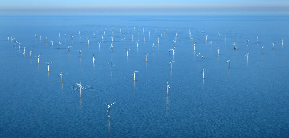
- Atlantic - CH01 - Windfarm Siting
- Environmental matrix
-
- Biota - Biology
- Production mode
-
- Delayed
- Visibility
-
- Information retrieved upon specific request to the data source
- Policy visibility
-
- There is detailed information provided to understand data policy
- Readyness
-
- Format not proprietary and content clearly specified (e.g. autodescriptive like ODV, NetCDF CF) or at least with appropriate document describing the content
- Parameter Discovery Vocabulary (P02)
-
- Habitat extent
- GEMET - INSPIRE themes, version 1.0
-
- Habitats and biotopes
- Processing level of characteristics
-
- High level analyzed
- Data delivery mechanisms
-
- Online discovery + downloading + viewing services (Advanced services)
- Parameter Usage Vocabulary (other)
-
- spatial distribution of Biological Zones
- Agreed Parameter Groups (P03)
-
- Habitat
- Service extent
-
- The datasets are provided through an EU Inspire catalogue service (OGC)
- Validation
-
- Submitted
- Access constraints
- Other restrictions
- Other constraints
- Unrestricted
- Use limitation
- Open and Free. No charge
- Spatial representation type
- vector Vector
- Metadata language
- Français
- Character set
- utf8 UTF8
- Topic category
-
- Oceans
- Environment description
- data for evaluating the impact of OWF siting on biological resources.
N
S
E
W
))
- Begin date
- 1900-01-01T00:00:00
- End date
- 2009-09-30T00:00:00
Vertical extent
- Minimum value
- NA
- Maximum value
- NA
- Dimension name
- Time
- Transformation parameter availability
- Yes
- Checkpoint Availability
- Yes
- Distribution format
-
-
ESRI Shapefile
()
-
ESRI Shapefile
()
- OnLine resource
- Spatial data downloads ( WWW:LINK )
- OnLine resource
- Biological Zones - Atlantic area ( WWW:LINK )
- Hierarchy level
- Dataset
Domain consistency
- Name of measure
- Responsiveness
Quantitative result
- Value
- Online downloading (i.e. a few hours or less) for release
Domain consistency
- Name of measure
- Reliability
Quantitative result
- Attribute description
- observation
- Content type
- Physical measurement
- Description
- NA
- File identifier
- 99306dd9-c87f-4206-82d1-6d5d82ecd294 XML
- Metadata language
- English
- Character set
- UTF8
- Hierarchy level
- Dataset
- Hierarchy level name
- Atlantic - CH01 - Windfarm Siting
- Date stamp
- 2017-05-02T15:30:28Z
- Metadata standard name
- ISO 19115-3 - Emodnet Checkpoint - Upstream Data
- Metadata standard version
- 1.0
Overviews
Spatial extent
N
S
E
W
Provided by

Associated resources
Not available