 Catalogue PIGMA
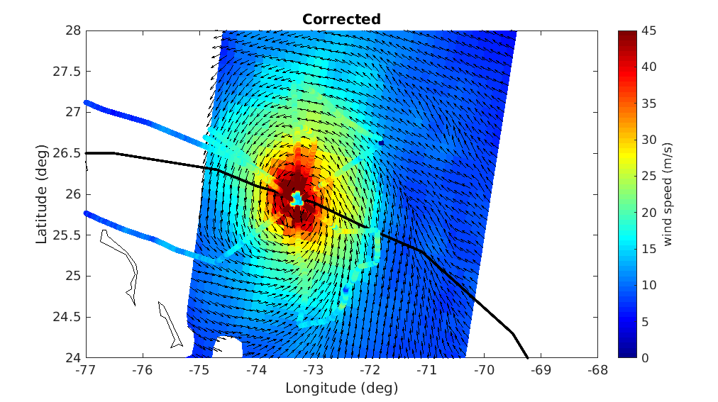
Global Extreme Wind Intercalibrated Scatterometer and Radiometer Level 2 Dataset for ESA MAXSS Project
A prerequisite for a successful development of a multi-mission wind dataset is to ensure good inter-calibration of the different extreme wind datasets to be integrated in the product. Since the operational hurricane community is working with the in-situ dropsondes as wind speed reference, which are in turn used to calibrate the NOAA Hurricane Hunter Stepped Frequency Microwave Radiometer (SFMR) wind data, MAXSS has used the latter to ensure extreme-wind inter-calibration among the following scatterometer and radiometer systems: the Advanced Scatterometers onboard the Metop series (i.e., ASCAT-A, -B, and -C), the scatterometers onboard Oceansat-2 (OSCAT) and ScatSat-1 (OSCAT-2), and onboard the HY-2 series (HSCAT-A, -B); the Advanced Microwave Scanning Radiometer 2 onboard GCOM-W1(AMSR-2), the multi-frequency polarimetric radiometer (Windsat), and the L-band radiometers onboard the Soil Moisture and Ocean Salinity (SMOS) and the Soil Moisture Active Passive (SMAP) missions.
In summary, a two-step strategy has been followed to adjust the high and extreme wind speeds derived from the mentioned scatterometer and radiometer systems, available in the period 2009-2020. First, the C-band ASCATs have been adjusted against collocated storm-motion centric SFMR wind data. Then, both SFMR winds and ASCAT adjusted winds have been used to adjust all the other satellite wind systems. In doing so, a good inter-calibration between all the systems is ensured not only under tropical cyclone (TC) conditions, but also elsewhere.
This dataset was produced in the frame of the ESA funded Marine Atmosphere eXtreme Satellite Synergy (MAXSS) project. The primary objective of the ESA Marine Atmosphere eXtreme Satellite Synergy (MAXSS) project is to provide guidance and innovative methodologies to maximize the synergetic use of available Earth Observation data (satellite, in situ) to improve understanding about the multi-scale dynamical characteristics of extreme air-sea interaction.
Simple
- Date (Creation)
- 2022-03-22
- Date (Publication)
- 2023-03-29
- Identifier
- MAXSS-L2-WIND-ICM / 1.0
- Status
- completed Completed
- Use limitation
- None
- Access constraints
- unrestricted
- Use constraints
- Other restrictions
- Other constraints
- CC-BY (Creative Commons - Attribution)
- Other constraints
- ICM / CISC. 2023. Global extreme-wind intercalibrated scatterometer and radiometer level 2 dataset for the time period 2009-2020 (v1.0) for ESA Marine Atmosphere eXtreme Satellite Synergy project (MAXSS). Ver. 1.0. Ifremer, Plouzane, France. Dataset accessed [YYYY-MM-DD].
- Spatial representation type
- grid Grid
- Distance
- 25 km
- Topic category
-
- Oceans
))
- Geographic identifier
- Global
- Begin date
- 2009-01-01
- End date
- 2020-12-31
- Reference system identifier
- http://www.opengis.net/def/crs/EPSG/0/4326
- Distribution format
-
-
NetCDF
(
4
)
-
NetCDF
(
4
)
- OnLine resource
- Ifremer HTTP server ( WWW:LINK )
- OnLine resource
-
Ifremer FTP server
(
WWW:FTP
)
FTP
- OnLine resource
-
local path on Datarmor
(
NETWORK:LINK
)
Local path
- Hierarchy level
- Dataset
- Attribute description
- orbit
- Processing level code
- L2B /
- File identifier
- 06fbc087-8f26-4c46-b19d-85d75534edd3 XML
- Metadata language
- English
- Character set
- UTF8
- Hierarchy level
- Dataset
- Date stamp
- 2025-11-30T18:58:50.047798Z
- Metadata standard name
- ISO 19115-3:2018 - Remote Sensing
Overviews
Spatial extent
Provided by
