Catalogue PIGMA
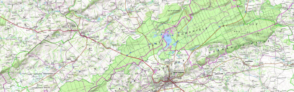
France : SCAN 25®
Le SCAN 25® est une série d’images cartographiques numériques géoréférencées immédiatement utilisables pour localiser et positionner des informations, repérer des interventions, saisir et mettre à jour des données métier, ainsi qu’habiller des documents pour des échelles de visualisation autour du 1 : 25 000.
Simple
- Date (Creation)
- 2022-07-21
- Identifier
- 50ce81fd-8641-48fa-bdf7-3296cd8ff5aa
- GEMET - INSPIRE themes, version 1.0
-
- Région
- Theme
-
- scan25
- Access constraints
- otherRestrictions Other restrictions
- Spatial representation type
- vector Vector
- Metadata language
- freFrançais
- Topic category
-
- limites-administratives-et-referentiels
- OnLine resource
- https://wxs.ign.fr/CLEF/geoportail/r/wms?SERVICE=WMS&REQUEST=GetCapabilities ( WWW:LINK-1.0-http--link )
- Hierarchy level
- dataset Dataset
- File identifier
- 50ce81fd-8641-48fa-bdf7-3296cd8ff5aa XML
- Metadata language
- freFrançais
- Hierarchy level
- dataset Dataset
- Date stamp
- 2022-07-21
- Metadata standard name
- INSPIRE Metadata Implementing Rules
- Metadata standard version
- Technical Guidelines based on EN ISO 19115 and EN ISO 19119 (Version 1.2)