 Catalogue PIGMA
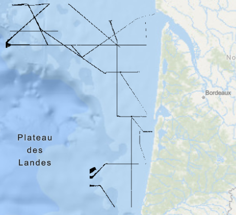
Rétrodiffusion du fond marin - golfe de Gascogne, plateau aquitain (campagne ITSAS II, 2001)
Rétrodiffusion du fond marin du plateau aquitain, dans le golfe de Gascogne, au pas de 3 mètres. Ce jeu de données est issu de l'acquisition acoustique du sondeur multifaisceaux EM300 du N/O Le Suroît. Il rassemble 12 cartes créées à l'échelle 1/50 000.
L’intensité de la rétrodiffusion n’est pas directement enregistrée dans ce jeu de données, mais codée par des classes de valeurs (niveaux de gris de 0 à 255).
Description de la campagne : CIRAC Pierre (2001) ITSAS II cruise, RV Le Suroît, https://doi.org/10.17600/1020050
Simple
- Date (Creation)
- 2010-02-01T00:00:00
- Date (Publication)
- 2010-02-01T00:00:00
- Identifier
- FR-330-715-368-00032-ITSAS2_PlateauAquitain_3m_IMAGERIE
- Presentation form
- Digital map
- Credit
- Ifremer
- Status
- completed Completed
- Maintenance and update frequency
- Not planned
- Thèmes Sextant
-
- /Imagerie/Imagerie acoustique/Multifaisceaux
- Theme
-
- Imagerie acoustique
- Mosaïque
- Place
-
- Plateau aquitain
- Atlantique
- Discipline
-
- Géophysique
- GEMET - INSPIRE themes, version 1.0
-
- Géologie
- Use limitation
- CC BY. Licence Creative Commons Attribution 4.0 International https://creativecommons.org/licenses/by/4.0/
- Access constraints
- Other restrictions
- Use constraints
- License
- Other constraints
- Pas de restriction d'accès public
- Other constraints
- Proposition de citation : CIRAC P., campagne Itsas2 - plateau Aquitain , Ifremer, 2001.
- Spatial representation type
- grid Grid
- Denominator
- 6000
- Metadata language
- Français
- Character set
- utf8 UTF8
- Topic category
-
- Geoscientific information
- Description
- période d'acquisitions des données
))
- Begin date
- 2001-06-09T00:00:00
- End date
- 2001-06-20T23:00:00
- Reference system identifier
- EPSG / WGS 84 / World Mercator (EPSG:3395) Parallèle 46°N / 7.4
- Distribution format
-
-
GeoTIFF
(
1.0
)
-
GeoTIFF
(
1.0
)
- OnLine resource
- Campagne ITSAS II ( WWW:LINK )
- OnLine resource
- ITSAS2_PlateauAquitain_3m_IMAGERIE ( OGC:WMS )
- Protocol
- COPYFILE
- Name
- ITSAS2_PlateauAquitain_3m_IMAGERIE
- Hierarchy level
- Dataset
- Statement
-
Traitement des données :
- traitement mosaïque "Belle Image Segmentable" du logiciel Caraibes (développé par l'Ifremer).
- génération des courbes de compensation avec le logiciel Sonarscope. Homogénéisation des niveaux de gris.
Bornes de réhaussement de contraste :
inf , sup
Carte 1 : -14.5 , 17.5
Carte 2 : -24.5 , 14.5
Carte 3 : -22.2 , 18.5
Carte 4 : -14 , 10.9
Carte 5 : -15.1 , 14.4
Carte 6 : -13.6 , 10.5
Carte 7 : -16 , 16.8
Carte 8 : -13.8 , 14.4
Carte 9 : -21.4 , 15.9
Carte 10 : -15.4 , 19.5
Carte 11 : -14.8 , 16.5
Carte 12 : -13.2 , 12.6
- Export au format bitmap pour le logiciel Arcview.
- File identifier
- bc9dc5b6-ae41-4d86-8f07-4f558dcf01e3 XML
- Metadata language
- Français
- Character set
- UTF8
- Hierarchy level
- Dataset
- Date stamp
- 2025-12-18T16:35:43.289314Z
- Metadata standard name
- ISO 19115-3 - SEXTANT
- Metadata standard version
- 1.0
Overviews
Spatial extent
Provided by
