 Catalogue PIGMA
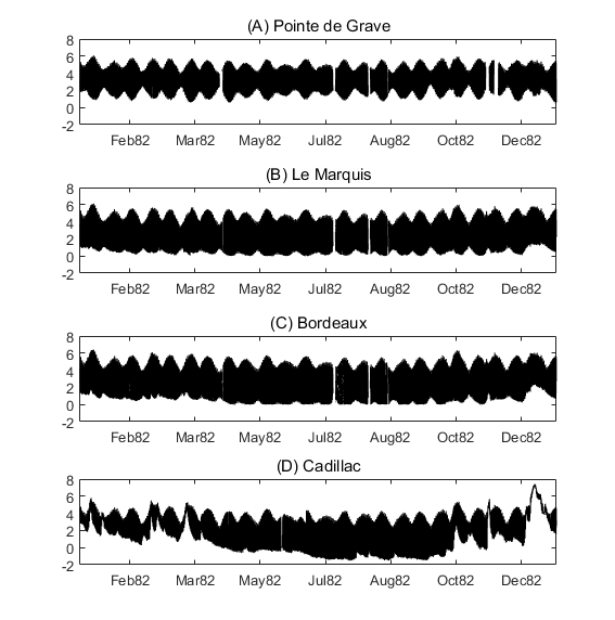
Historical water level data in the Gironde Estuary
Simple
- Date (Publication)
- 2018-01
- Date (Revision)
- 2021-05-12
- Other citation details
-
Fort Alain, Jalón-Rojas Isabel, Hanquiez Vincent, Sottolichio Aldo, Schmidt Sabine (2018). Historical water level data in the Gironde Estuary. SEANOE. https://doi.org/10.17882/52798
In addition to properly cite this dataset, it would be appreciated that the following work(s) be cited too, when using this dataset in a publication :
Fort Alain, Jalón-Rojas Isabel, Hanquiez Vincent, Sottolichio Aldo, Schmidt Sabine (2018). To what extent multidecadal changes in morphology and fluvial discharge impact tide in a convergent (turbid) tidal river. Journal of Geophysical Research: Oceans
- Theme
-
- water level
- Gironde Estuary
- Physical oceanography
- Use constraints
- Other restrictions
- Date (Publication)
- 2021
- Unique resource identifier
- 10.1029/2020JC016273
- Association Type
- Cross reference
- Initiative Type
- Study
- Date (Publication)
- 2019
- Unique resource identifier
- 10.1111/jvs.12720
- Association Type
- Cross reference
- Initiative Type
- Study
- Metadata language
- English
- Topic category
-
- Oceans
))
- Distribution format
-
-
TEXTE
(
)
-
TEXTE
(
)
- OnLine resource
- Quality controlled data ( WWW:DOWNLOAD-1.0-link--download )
- OnLine resource
- DOI of the product ( WWW:LINK-1.0-http--metadata-URL )
- OnLine resource
- Seanoe ( rel-canonical )
- Hierarchy level
- Dataset
- File identifier
- seanoe:52798 XML
- Metadata language
- English
- Character set
- UTF8
- Hierarchy level
- Dataset
- Date stamp
- 2021-05-12
- Metadata standard name
- ISO 19115:2003/19139
- Metadata standard version
- 1.0
Overviews
Spatial extent
Provided by
