 Catalogue PIGMA
Keyword
wave/coastal flood vigilance
Type of resources
Topics
Keywords
Provided by
Representation types
Update frequencies
From
1
-
1
/
1
-
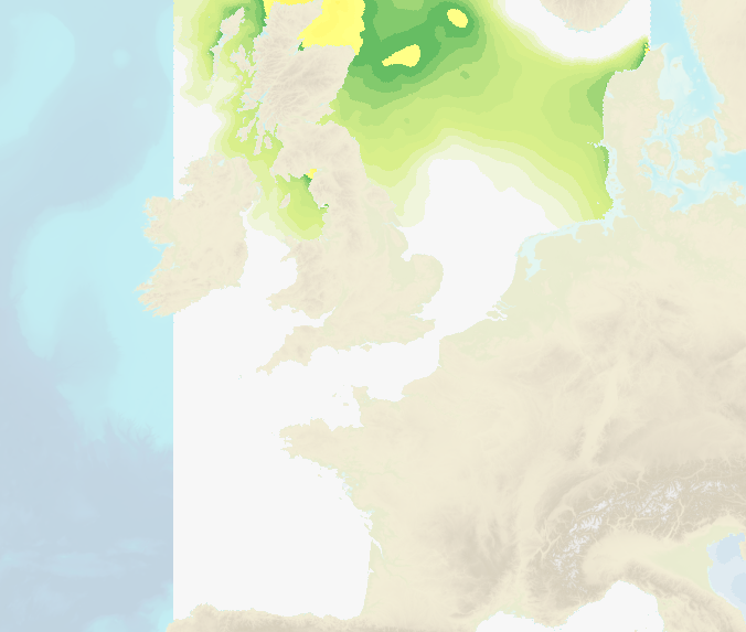
Hourly water level forecasts (Sea surface levelabove mean se level and meteorological surges) are computed by 2D barotropic hydrodynamic models (HYCOM 2D and Tolosa-SW). The data cover French coastal areas: Atlantic/English Channel/North Sea, Mediterranean, Antilles-Guyane and Indian Ocean (Mayotte, Reunion Island). Spatial resolution ranges from several kilometers offshore to up to 100 m near the coasts.