 Catalogue PIGMA
model
Type of resources
Available actions
Topics
Keywords
Contact for the resource
Provided by
Years
Formats
Representation types
Update frequencies
-
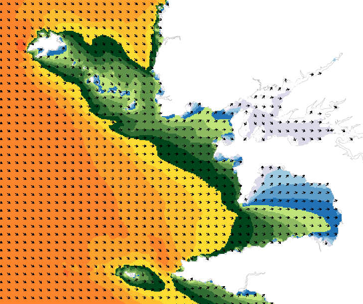
Wave forecasting models allow the representation of sea states based on a spectral resolution at the global scale or at the scale of ocean basins. This code calculates the evolution of the sea state by decomposing it into a wave spectrum that propagates in different directions and with different periods. During the propagation, the wave energy is increased or decreased by the effects of wind, breaking waves and energy exchanges between the different components. The wave forecasts available on data.shom.fr are calculated with 2 different types of models: MFWAM for the offshore domain (resolution from 0.5° to 0.1°) and Wavewatch III ® (WW3) for the coastal domain (resolution from 2' to 200m). MFWAM is a sea state forecasting model (wind wave and swell) derived from the third generation WAM code (WAMDI Group, 1988). Wavewatch III ® (WW3) is developed in a collaboration between the United States Weather Service (NOAA/NCEP), Shom, the University of Darmstadt in Germany, and other partners. The forecasts published on data.shom.fr are issued from the parameterization carried out and optimized by the Shom and Météo-France within the framework of the Homonim project (national coastal flood/wave/storm warning system).
-
Monthly time series of Total Nitrogen [mg/l] from model data
-
Annual time series of Total Nitrogen/Nitrates [mg/l] from in situ and model data
-
Annual time series of Water Discharge (Qw) [m3/s] from in situ and model data
-
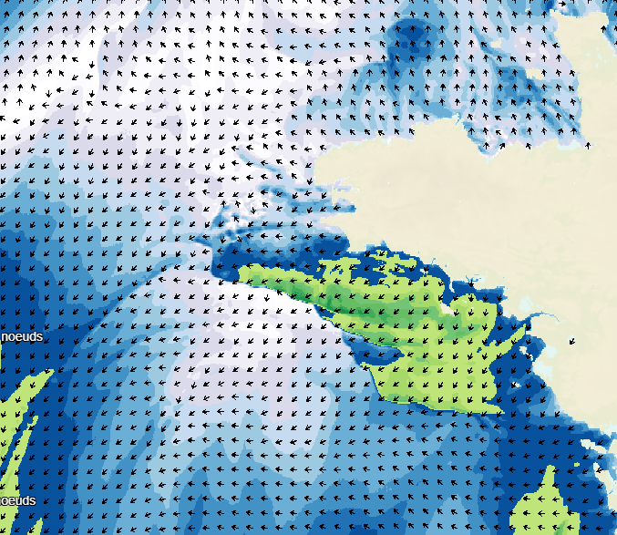
Weather forecasting models are used to show atmospheric conditions by computing changes in meteorological parameters on a 3D atmospheric grid model. Physical laws are used to determine behaviour: fluid mechanics, turbulence, radiation, and atmospheric interaction with space, the continents and the oceans. The initial conditions are determined by assimilating variational data including a large volume and wide variety of in situ observations obtained from remote detection systems. The weather forecasts available on data.shom.fr only contain "wind at 10m" and "atmospheric pressure at sea level" parameters. A land/sea mask is then applied to exclude non-maritime forecasts. These forecasts are provided by 2 different models: ARPEGE for global and european regional scale (0.25° to 0.1° resolutions, respectively) ; AROME for mainland France (1.3 km resolution) and AROME Outre-Mer for overseas areas (2.5 km resolution). ARPEGE is a global hydrostatic spectral model, with variable horizontal resolution (centred on France), vertical finite element modelling and hybrid vertical coordinates. ARPEGE is an integral part of the Arpège-IFS software package, designed, developed and maintained by Météo-France in cooperation with ECMWF. AROME is a non-hydrostatic spectral model for weather forecasts in mainland France, with finite difference modelling for vertical input and hybrid coordinates. AROME was developed by Météo-France thanks to close national (CNRS) and international (ECMWF, Aladin, Hirlam) cooperation programmes on the basis of the Méso-NH research model and the dynamic core of the Aladin model. AROME Outre-Mer is a non-hydrostatic spectral model for the overseas areas (Antilles, Guyane, Réunion-Mayotte). Unlike AROME France, this regional model does not have its own assimilation. The model is forced by IFS (16km resolution, ECMWF) for initial altitude conditions and by ARPEGE for initial surface conditions. It was developed by Météo-France.
-
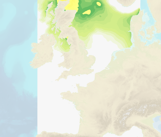
Hourly water level forecasts (Sea surface levelabove mean se level and meteorological surges) are computed by 2D barotropic hydrodynamic models (HYCOM 2D and Tolosa-SW). The data cover French coastal areas: Atlantic/English Channel/North Sea, Mediterranean, Antilles-Guyane and Indian Ocean (Mayotte, Reunion Island). Spatial resolution ranges from several kilometers offshore to up to 100 m near the coasts.
-
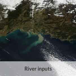
Monthly time series of Water Discharge (Qw) [m3/s] from in situ and model data
-
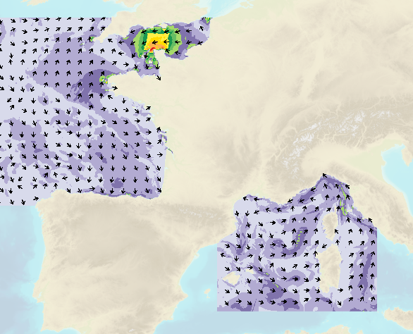
Shom uses HYCOM 3D (Hybrid Coordinate Ocean Model) digital models to model changes to the ocean environment (currents, temperature, salinity, water depth). These HYCOM 3D models include a scalable (space and time) vertical grid, which is particularly suitable for the coastal regions and physical phenomena modelled (particularly the transition from a deep sea zone to the continental shelf, and the presence of frontal zones). These models were adapted to coastal models at Shom, particularly by integrating tides and the effects of rivers. These models focus on changes and variability in the different physical processes affecting coastal areas (continental shelves and slopes), such as tidal fronts, river plumes, tides and internal waves, upwelling and the dynamics of the mixed layer at an hourly frequency and with high spatial resolution (1/60 deg for the Biscay Channel model).
-
Annual time series of Total Phosphorous/Phosphates [mg/l] from in situ and model data
-
The Tidal stream atlas netcdf product – The Bay of Biscay provides tidal current data for an area stretching from Brittany to the northern coast of Spain. The product consists of a unique gridded file with 2 km spatial resolution covering the Bay of Biscay. The U and V velocities of the tidal currents depend on the tidal conditions considered at mean neap and spring tidal rates. The data are provided in m/s for the surface layer. The times are given in relation to high tide at the reference port chosen in the area and are provided from 6 hours before to 6 hours after that reference.