 Catalogue PIGMA
EMODNet Hydrography
Type of resources
Topics
Keywords
Contact for the resource
Provided by
Years
Formats
Representation types
Scale
Resolution
-
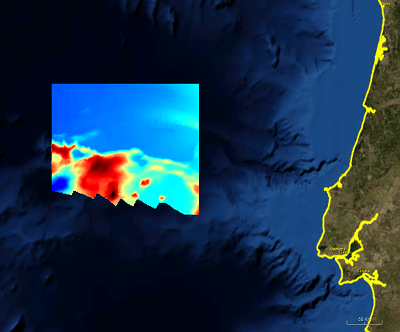
DTM derived from a hydrographic survey (EMEPC LH1) performed within the scope of the Portuguese Continental Shelf Extension Project (UNCLOS). The data made available to the Emodnet project was sampled from the survey data with an aproximate 250m sampling interval, in N-S and E-W directions.
-
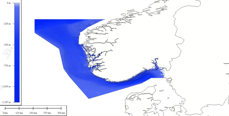
DTM data source was created by taking contour lines and spot soundings from Norwegian Electronic Navigational Charts. NOTE: Data east of appr.
-
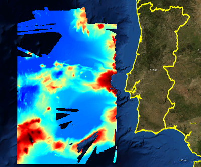
500m gridded dataset extracted from Portuguese EMEPC multibeam hydrographic surveys, performed within the scope of the Portuguese Continental Shelf Extension Project (UNCLOS)
-
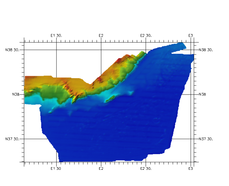
Composite DTM of Balear Islands, south margin, at approximately 200m of resolution
-
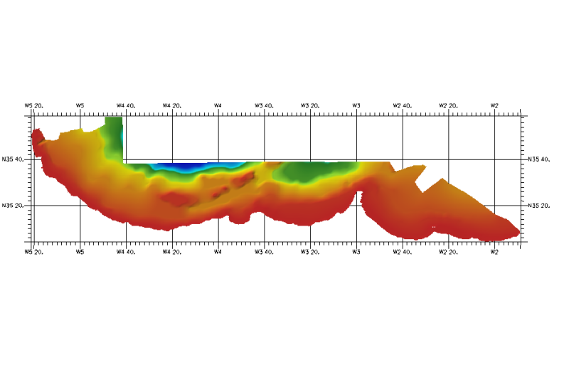
Depth derived from the International Bathymetric Chart of Mediterranean (IBCM) database http://www.ngdc.noaa.gov/mgg/ibcm/
-

Composite DTM of Menorca Island at approximately 225 m of resolution.
-
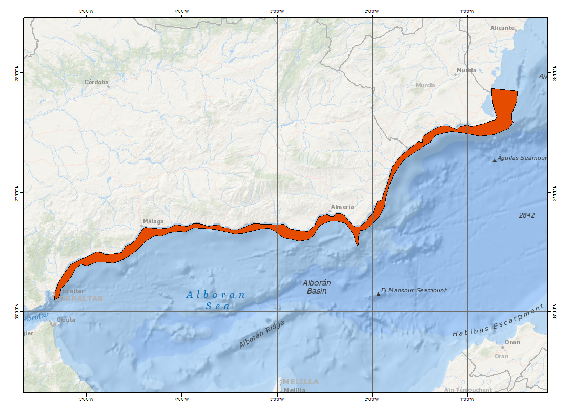
Composite DTM of Mediterranean Continental Shelf at approximately 225m of resolution
-

Composite DTM of “Golfo de Vera” (Andalucía and Murcia margin) at approximately 200 m of resolution.
-

Composite DTM of “Golfo de Vera” (Andalucía and Murcia margin) at approximately 250 m of resolution with a cell size of 100 m.
-
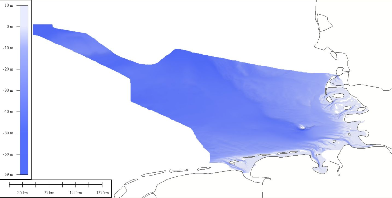
DTM data source was received from the data center (Bathymetrisches Datenzentrum) of the German Hydrographic Office (Bundesamt für Seeschifffahrt und Hydrographie) at a variable resolution. The data was then processed by ATLIS b.v. using the ATLIS SENS software suite and compiled into an EMODnet regional DTM. Although the resolution varied throughout the dataset, no interpolation was required to create a geographic grid of 0.0041667 degrees resolution.