 Catalogue PIGMA
water level
Type of resources
Available actions
Topics
Keywords
Contact for the resource
Provided by
Years
Formats
Representation types
Update frequencies
-
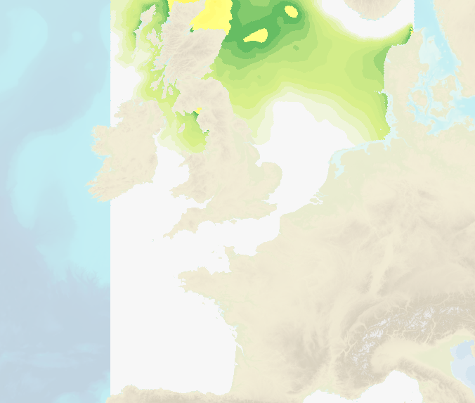
Hourly water level forecasts (Sea surface levelabove mean se level and meteorological surges) are computed by 2D barotropic hydrodynamic models (HYCOM 2D and Tolosa-SW). The data cover French coastal areas: Atlantic/English Channel/North Sea, Mediterranean, Antilles-Guyane and Indian Ocean (Mayotte, Reunion Island). Spatial resolution ranges from several kilometers offshore to up to 100 m near the coasts.
-
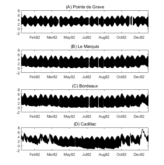
Times series of water level at four stations of the Gironde Estuary (Pointe de Grave, Le Marquis, Bordeaux and Cadillac) for the the years 1953, 1971, 1982, 1994, 2005 and 2014. The dataset includes all of the time seris used in the publication: To what extent multidecadal changes in morphology and fluvial discharge impact tide in a convergent (turbid) tidal river (2018), Journal of Geophysical Research: Oceans.