 Catalogue PIGMA
Keyword
SPM
Type of resources
Available actions
Topics
Keywords
Contact for the resource
Provided by
Years
Formats
From
1
-
1
/
1
-
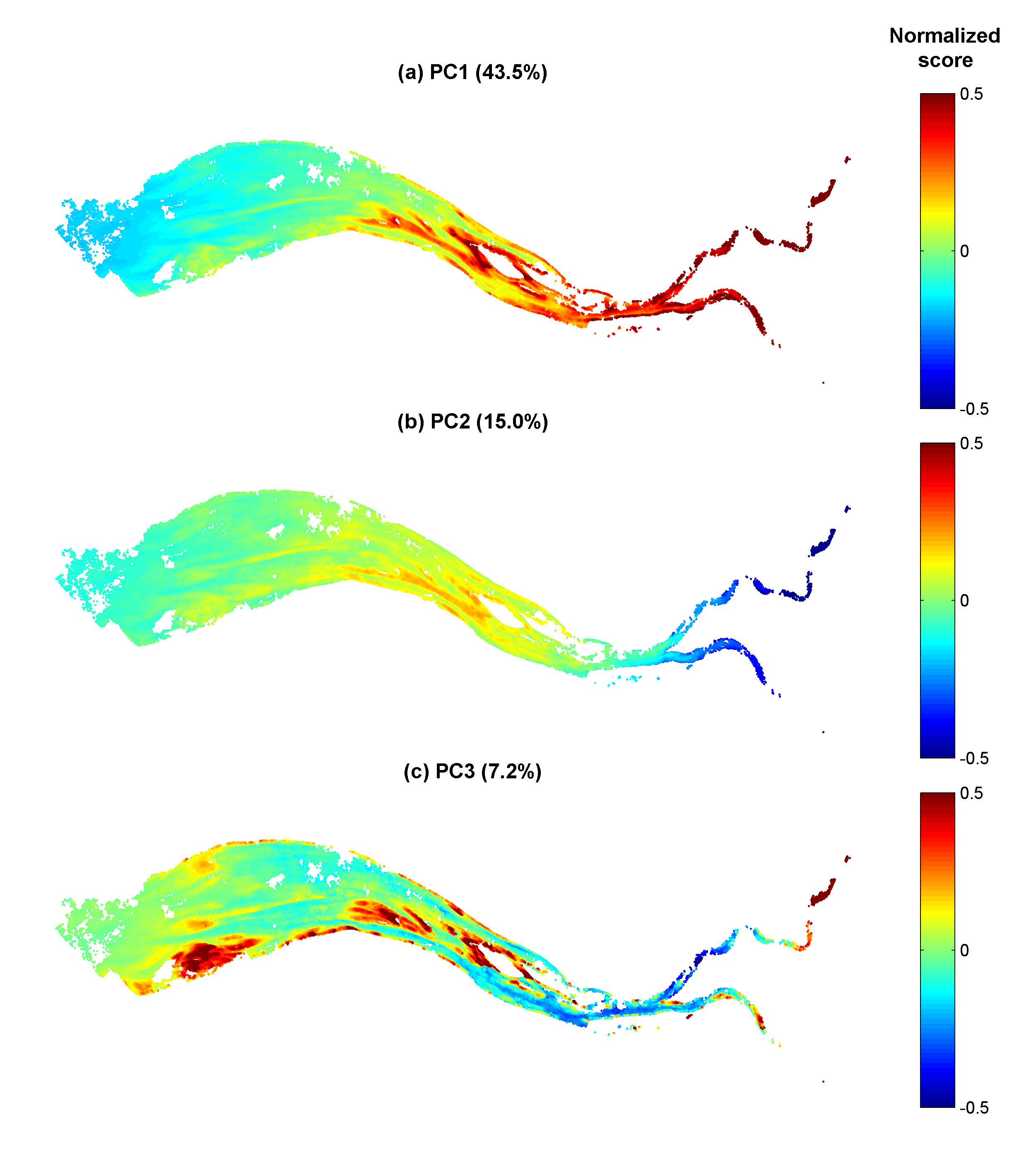
Gironde estuary environmental parameters and SPM maps generated from 41 Landsat-8/OLI and Sentinel-2/MSI images acquired over the period 2013-2018. Except bathymetry and daily river discharge data, that are accessible on public platforms, the dataset includes all of the time seris used in the publication: Analysis of suspended sediment variability in a large highly-turbid estuary using a 5-year-long remotely-sensed data archive at high resolution, Journal of Geophysical Research: Oceans, DOI:10.1029/2019JC015417.