 Catalogue PIGMA
Sea Ice
Type of resources
Topics
Keywords
Contact for the resource
Provided by
Years
Formats
Representation types
status
Resolution
-

This level 3 product contains daily sea ice concentration from the 85 GHz channel of SSM/I on DMSP over Antarctic on polar sterographic 12.5 km resolution grids, available since 1992. The maps are processed from the daily brightness temperature maps from NSIDC. The Artist Sea Ice (ASI) algorithm developped at University of Bremen (Germany) is used to processed daily sea ice concentration maps at 12.5 km resolution. The dataset covers the whole 85 GHz SSM/I mission. We are grateful to NSIDC (Boulder, Colorado) for the SSMI data. This dataset is also available over Arctic.
-

This level 3 product contains artic polar sterographic 12.5 km resolution grids of sea ice concentration from the 85 GHz channel of SSM/I on DMSP, available since 1992. The daily maps are processed from the daily brightness temperature maps from NSIDC. The Artist Sea Ice (ASI) algorithm developped at University of Bremen (Germany) is used to processed daily sea ice concentration maps at 12.5 km resolution. The dataset covers the whole 85 GHz SSM/I mission. We are grateful to NSIDC (Boulder, Colorado) for the SSMI data. temporal resolution = daily SSM/I Sea-Ice concentration Arctic Daily Maps on 12.5 km Polar Grid
-
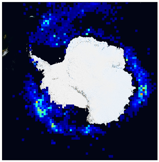
This dataset provides the version 3.1 of the database of small icebergs (lower than 3km in length) detected in Austral and Arctic Ocean, using the high resolution waveforms from spaceborne altimeters from 1992 to 2021. This database is organized by pole (arctic, antarctic) and provides several product levels for each one: * Level 2 products are the individual detections of icebergs along the altimeter tracks. * Level 3 products contains both antarctic polar stereographic 100 km resolution grids of monthly volume of ice and geographic equirectangular (1° in lat x 2° in lon) resolution grids of monthly volume of ice, probability of presence of icebergs and mean iceberg area. Each product organised by altimeter mission (ERS-1, ERS-2, Jason-1, Jason-2, Jason-3, CryoSat-2, Topex, ENVISAT, SARAL, HY2A, HY2B, Sentinel-3A, Sentinel-3B). A merged product combining all the available altimeters is also provided. This database was developed in the frame of Altiberg project, funded by CNES.
-
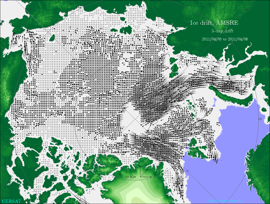
This products provides the sea-ice drift calculated over a three day rolling window during winter time (October to April) over Arctic ocean from AMSR-E microwave radiometer onboard AQUA
-
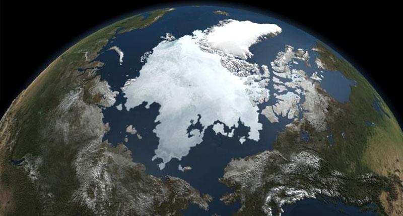
Glace de mer: Arctique