 Catalogue PIGMA
Seabed substrate
Type of resources
Available actions
Topics
Keywords
Contact for the resource
Provided by
Years
Formats
Representation types
-
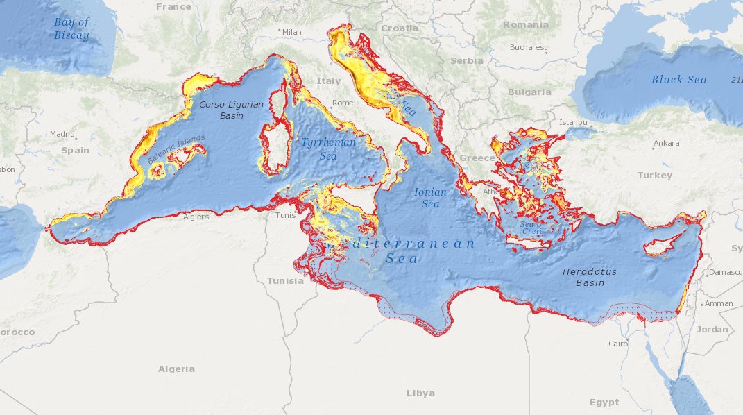
to deliver maps showing the extent of the trawling fishing grounds for identifying the areas which are most disturbed by bottom trawling over the past ten years and identifying the gaps of fishing vessels’ tracking systems in the Mediterranean Sea
-
MEDSEA_CH5_Product_7 / Change level of disturbance from AIS data combined with habitat vulnerability
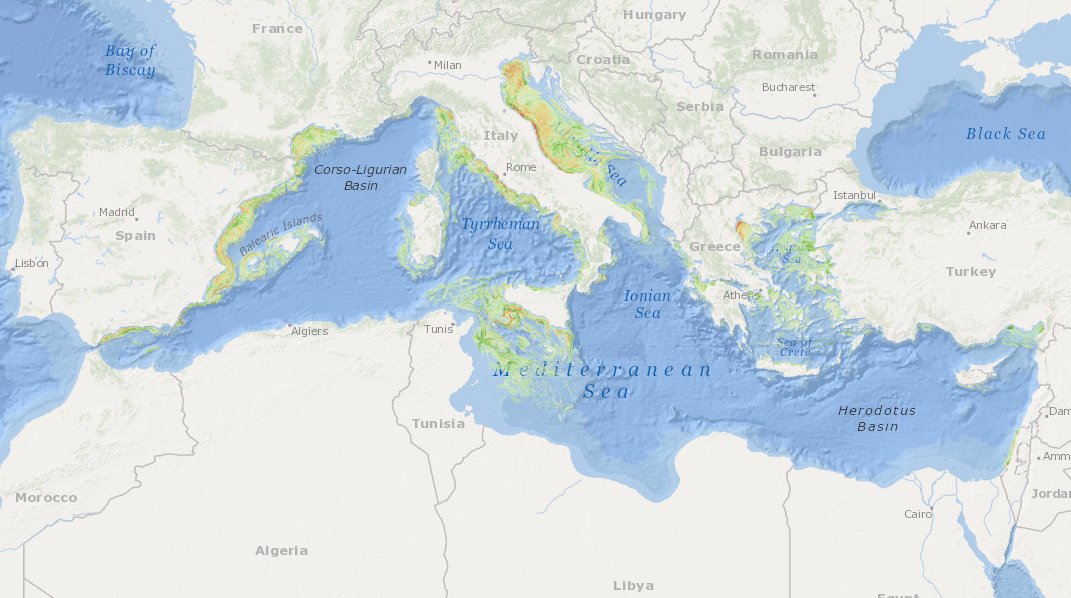
to deliver maps showing the extent of the trawling fishing grounds for identifying the changes in level of disturbance over the past ten years and identifying the gaps of fishing vessels’ tracking systems in the Mediterranean Sea
-
MEDSEA_CH5_Product_5 / Change level of disturbance from VMS data combined with habitat vulnerability
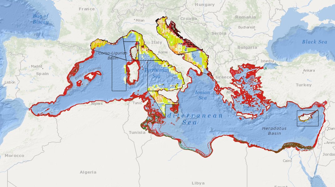
to deliver maps showing the extent of the trawling fishing grounds for identifying the changes in level of disturbance over the past ten years and identifying the gaps of fishing vessels’ tracking systems in the Mediterranean Sea
-
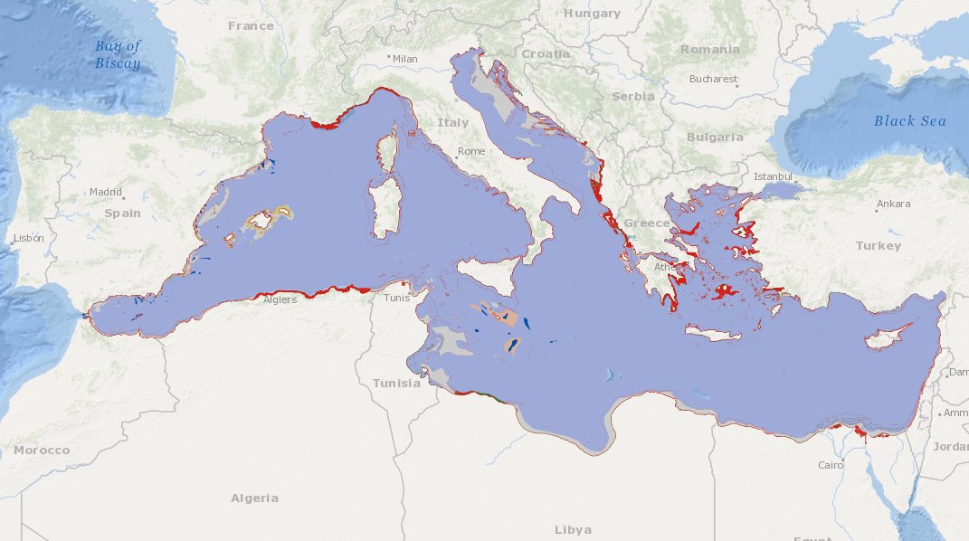
to deliver maps showing the extent of the trawling fishing grounds for identifying the areas which are most disturbed by bottom trawling and the changes in level of disturbance over the past ten years and identifying the gaps of fishing vessels’ tracking systems in the Mediterranean Sea
-

The European Marine Observation and Data Network (EMODnet) is the European Union's in situ marine data service, managed by the European Commission (EC) Directorate-General Maritime Affairs and Fisheries (EC DG MARE) and funded by the European Maritime Fisheries and Aquaculture Fund. Established in 2009, EMODnet plays a pivotal role as a trusted source of in situ marine environmental and human activities data and data products, serving a diverse user base across various sectors. Covering seven disciplinary themes – bathymetry, geology, physics, chemistry, biology, seabed habitats and human activities – EMODnet spans the entire marine environment from coast to open ocean, surface to deep seafloor, whilst also offering data and information on the Blue Economy operations, from vessel density and offshore platform sitings, to hosting EU Member State Maritime Spatial Plans.