Catalogue PIGMA
Meteorological geographical features
Type of resources
Available actions
Topics
Keywords
Contact for the resource
Provided by
Years
Formats
Representation types
Update frequencies
status
Resolution
-
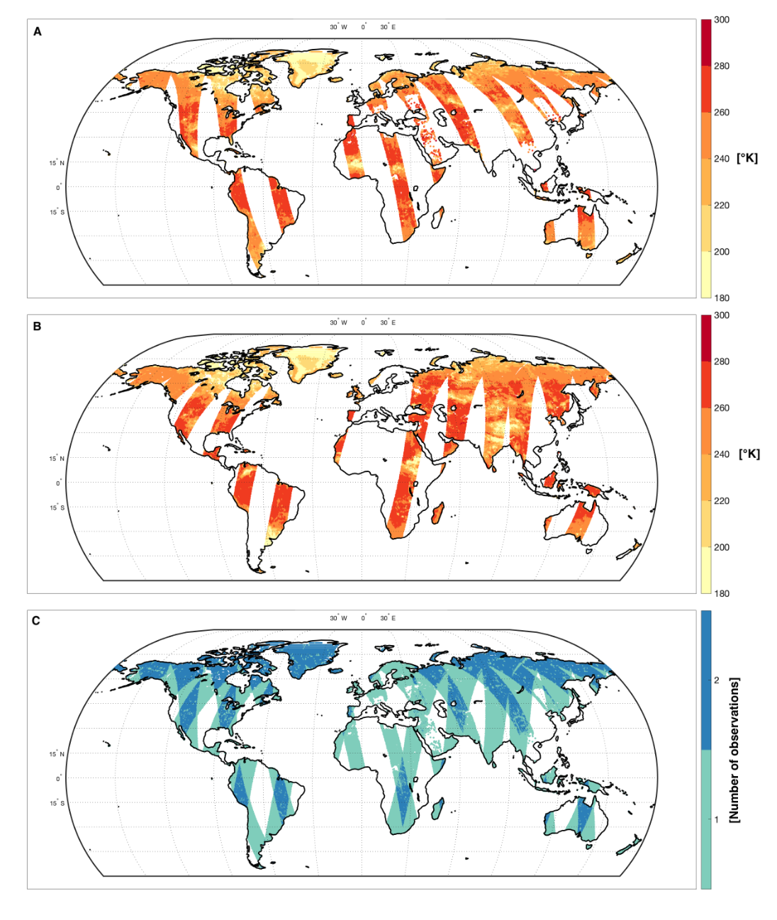
The SMOS Level-4 SMAP Compatible Brightness Temperatures (BT) product provides an unbiased version of the SMOS Level-3 BT with respect to the SMAP Enhanced Level-3 BT. This data set is self-sufficient but it can also be used along with the SMAP Level-3 Enhanced BT for applications for which spatial coverage and revisit frequency of the BT measurements are essentials.
-
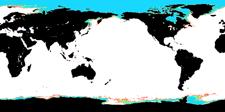
The National Centers for Environmental Prediction (NCEP) Climate Forecast System (CFS) is initialized four times per day (0000, 0600, 1200, and 1800 UTC). NCEP upgraded their operational CFS to version 2 on March 30, 2011. This is the same model that was used to create the NCEP Climate Forecast System Reanalysis (CFSR), and the purpose of this dataset is to extend CFSR. The 6-hourly atmospheric, oceanic and land surface analyzed products and forecasts, available at 0.2, 0.5, 1.0, and 2.5 degree horizontal resolutions, are archived here beginning with January 1, 2011 as an extension of CFSR.
-
Assessment of the confidence limits of the data base by means of evaluation of the two involved numerical models: The wave model WAM (Parameter: Significant wave height Hs) and the Atmospheric model SKIRON (Parameter: Wind Speed 10m)
-
BLACKSEA_CH01_Product_03 / Assessment of the confidence limits of the data sets for the test regions
Assessment of the confidence limits of the data base by means of evaluation of the two involved numerical models: The wave model WAM (Parameter: Significant wave height Hs) and the Atmospheric model SKIRON (Parameter: Wind Speed 10m)
-
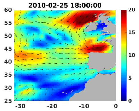
Wind analyses, estimated over the North Atlantic Ocean with a focus on some specific regions, are one the main ARCWIND (http://www.arcwind.eu/) project deliverables. They are estimated from various remotely sensed wind observations in combination with numerical model (WRF), with regular space (0.25deg in latitude and longitude), and time (00h:00, 06h:00, 12h:00, 18h:00 UTC), and based the method described in (Bentamy A., A. Mouche, A. Grouazel, A. Moujane, M. A. Ahmed. (2019): Using sentinel-1A SAR wind retrievals for enhancing scatterometer and radiometer regional wind analyses . International Journal Of Remote Sensing , 40(3), 1120-1147 . https://doi.org/10.1080/01431161.2018.1524174).
-
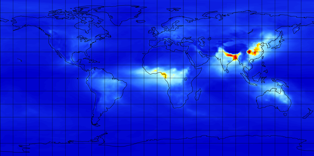
M2TMNXAER (or tavgM_2d_aer_Nx) is a time-averaged 2-dimensional monthly mean data collection in Modern-Era Retrospective analysis for Research and Applications version 2 (MERRA-2). This collection consists of assimilated aerosol diagnostics, such as column mass density of aerosol components (black carbon, dust, sea salt, sulfate, and organic carbon), surface mass concentration of aerosol components, and total extinction (and scattering ) aerosol optical thickness (AOT) at 550 nm. The total PM1.0, PM2.5, and PM10 may be derived with the formula described in the FAQs under the Documentation tab of this page. The collection also includes variance of certain parameters. MERRA-2 is the latest version of global atmospheric reanalysis for the satellite era produced by NASA Global Modeling and Assimilation Office (GMAO) using the Goddard Earth Observing System Model (GEOS) version 5.12.4. The dataset covers the period of 1980-present with the latency of ~3 weeks after the end of a month.
-
-

-
-