 Catalogue PIGMA
notPlanned
Type of resources
Available actions
Topics
Keywords
Contact for the resource
Provided by
Years
Formats
Representation types
Update frequencies
status
Scale
Resolution
-

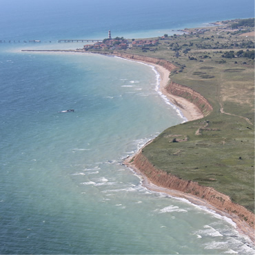
Digital Surface Models (DSMs) of the study area surveyed by drone between June 2024 and March 2025. Each pixel contains the elevation value corresponding to the terrain at the time of the mission. These DSMs were generated from around 1,300 images (depending of the survey) acquired using the DJI Mavic 3E RTK drone, with a resolution of 3.2 cm/pixel. The surveyed area covers around 2.1 km². The campaign was conducted on the highest tides of each month. The drone acquisitions were carried out by Nicolas Lachaussée from the LIENSs UMR Drone Platform. Photogrammetric processing was performed by Natacha Volto (LIENSs) using Agisoft Metashape software. The vertical coordinate system is NGF IGN69. The vertical accuracy (RMSD ~ 3 cm), calculated using around 100 control points, randomly distributed across the study area. It is derived from the vertical difference for each control point between the value measured with the DGPS SP80 and the value extracted from the photogrammetry-generated DSM. These drone surveys were carried out as part of the thesis of Loës Le Goff Le Gourrierec supervised by Xavier Bertin.
-

-
-

-
-
-
-
-
-
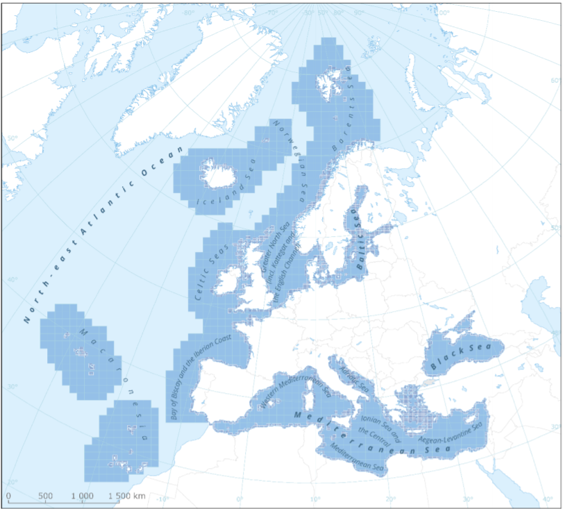
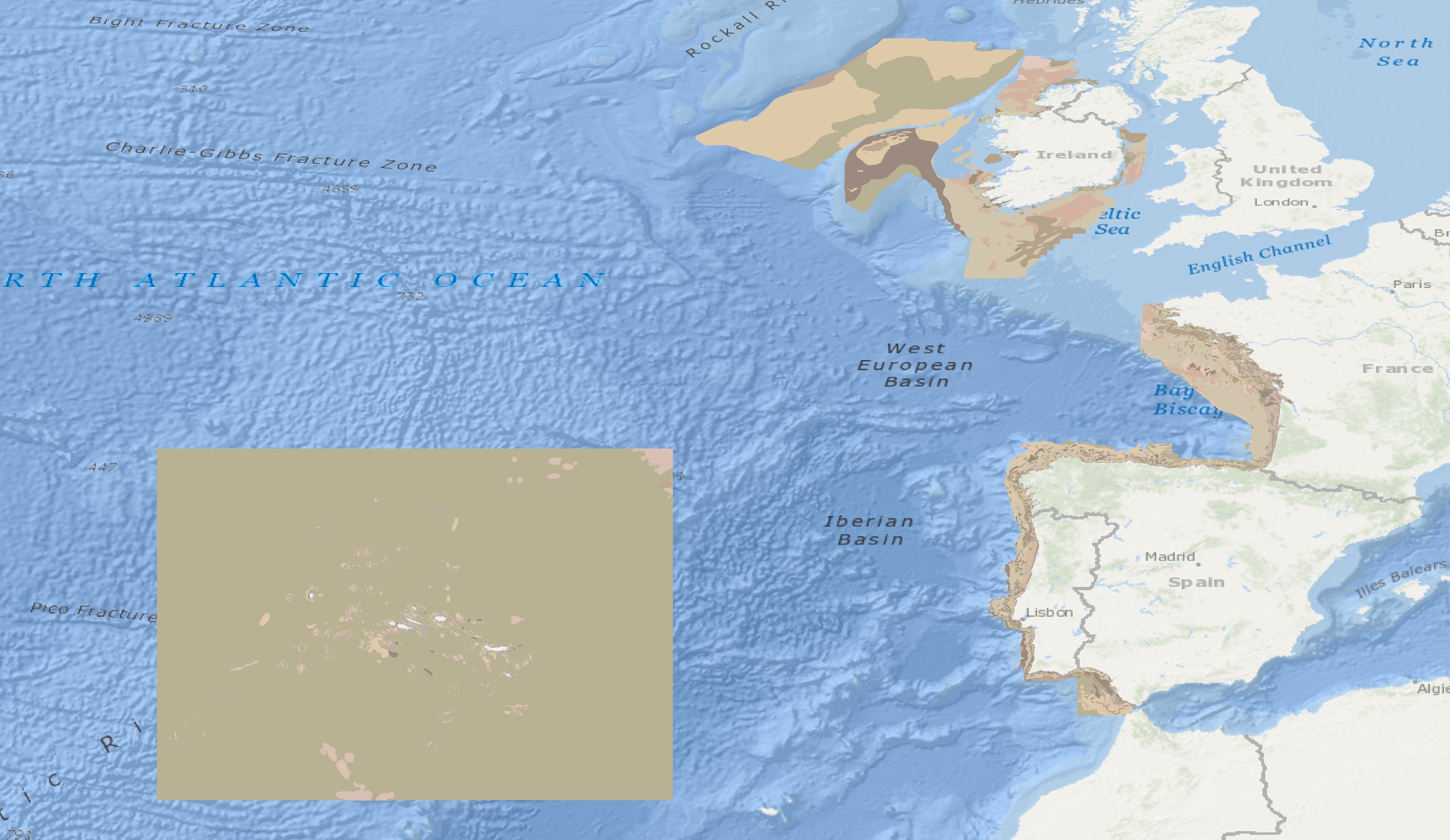
This metadata refers to the EEA marine assessment grid, to which all data and assessment results have been spatially mapped in order to ensure that data can be compared in a uniform way across the European regional seas. The marine assessment grid is based on the EEA reference grid system. The EEA reference grid is based on ERTS89 Lambert Azimuthal Equal Area projection with parameters: latitude of origin 52° N, longitude of origin 10° E, false northing 3 210 000.0 m, false easting 4 321 000.0 m. All grid cells are named with a unique identifier containing information on grid cell size and the distance from origin in meters (easting and northing). An important attribute of the EEA reference grid system is that by using an equal area projection all grid cells are having the same area for the same grid size. In this marine assessment grid, two grid sizes are used: * 100 x 100 km in offshore areas (> 20 km from the coastline) * 20 x 20 km in coastal areas (<= 20 km from the coastline) The grid sizes were choosen after an evaluation of data availability versus the need for sufficient detail in the resulting assessment. The resulting assessment grid is a combination of two grid sizes using the EEA reference grid system. The overall area of interest used in the grid is based on the marine regions and subregions under the Marine Strategy Framework Directive (MSFD). Additionally, Norwegian (Barent Sea and Norwegian Sea) and Icelandic waters (’Iceland Sea’) have been added (see Surrounding seas of Europe). Note that, within the North East Atlantic region, only the subregions within EEZ boundaries (~200 nm) have been included.