 Catalogue PIGMA
EMODnet Medsea Checkpoint
Type of resources
Available actions
Topics
Keywords
Contact for the resource
Provided by
Years
Formats
Representation types
-
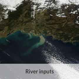
Annual time series of Total Suspended Matter (TSM) from satellite data [mg/l]
-
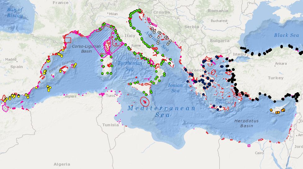
Combination MPAs and monitoring stations for biodiversity elements
-
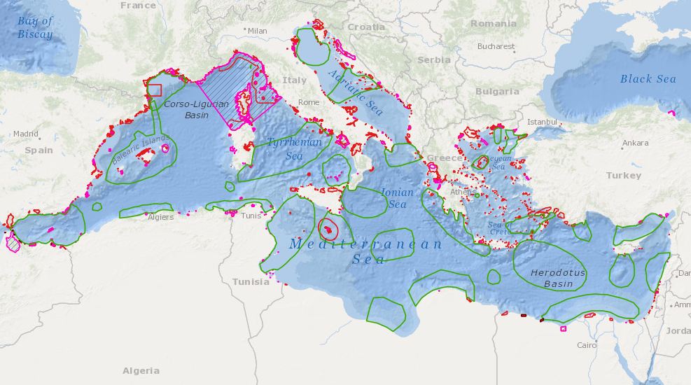
Proposed regional conservation areas in the Mediterranean
-
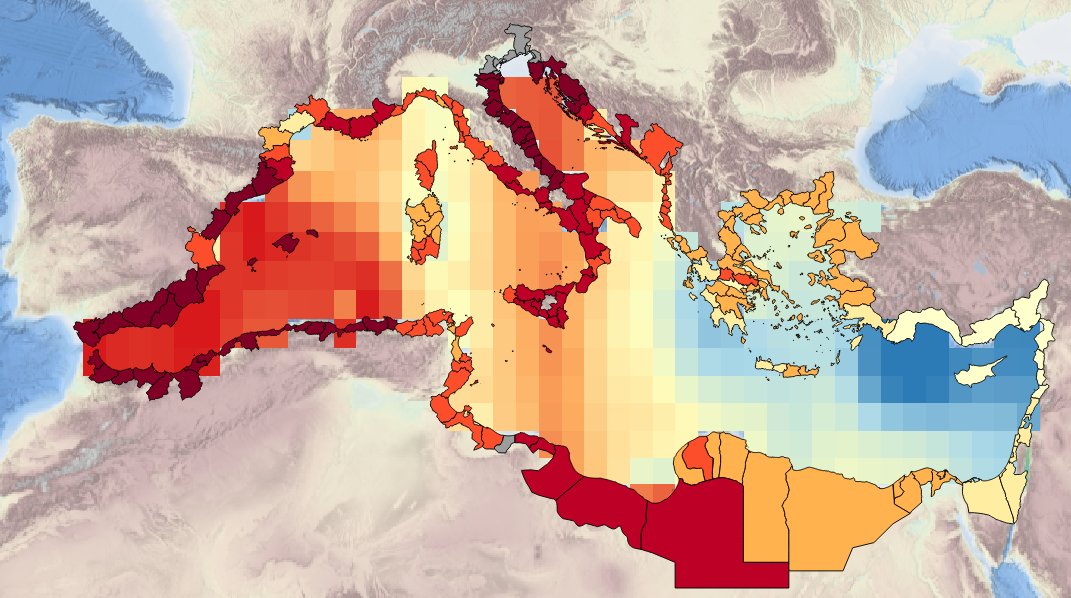
Description of the spatial layers atributes of sea surface temperature trend for the last 10, 50 and 100 years for the Mediterranean basin and for each NUTS3 region along the coast.
-
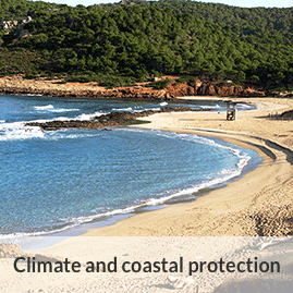
Description of the attributes for the time-series annual average sea level for the last 50 and the last 100 yrs for the Mediterranean basin and for each NUTS region along the coast.
-
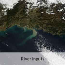
Monthly time series of Total Suspended Matter (TSM) from satellite data [mg/l]
-
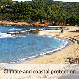
Description of the attributes for the time-series of sea internal energy for the last 20 years for the Mediterranean basin and for each NUTS region along the coast.
-
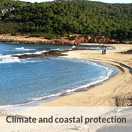
Description of attributes for time series on annual averafe mid-water and sea-bottom temperature for the last 10 years for the Mediterranean basin and for each NUTS3 along coast
-
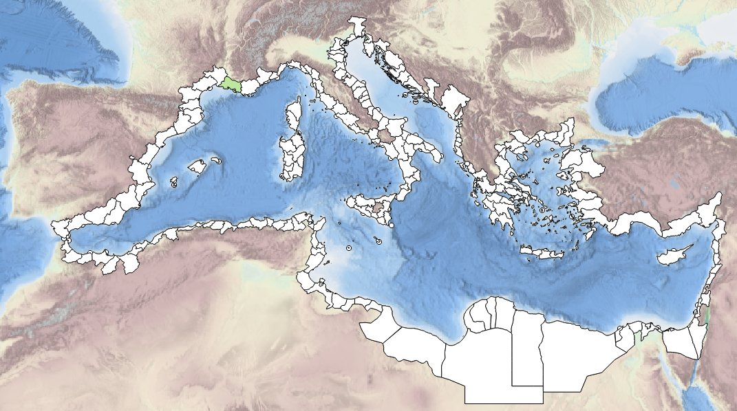
Description of spatial layers attributes of sea-level trend (units: mm/year) from tide gauges over periods of 50 years (1963-2012) and 100 years (1913-2012), to characterize and assess average annual sea-level rise at the coast.
-
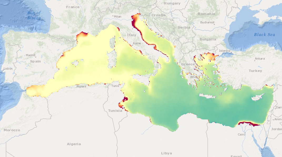
Maps of Chlorophyll concentration seasonal climatologies (i.e., Winter, Spring, Summer, and Fall) over the Mediterranean Sea relative to the period 1998-2009.