 Catalogue PIGMA
Position
Type of resources
Available actions
Topics
Keywords
Contact for the resource
Provided by
Years
Formats
Representation types
Update frequencies
status
Scale
-
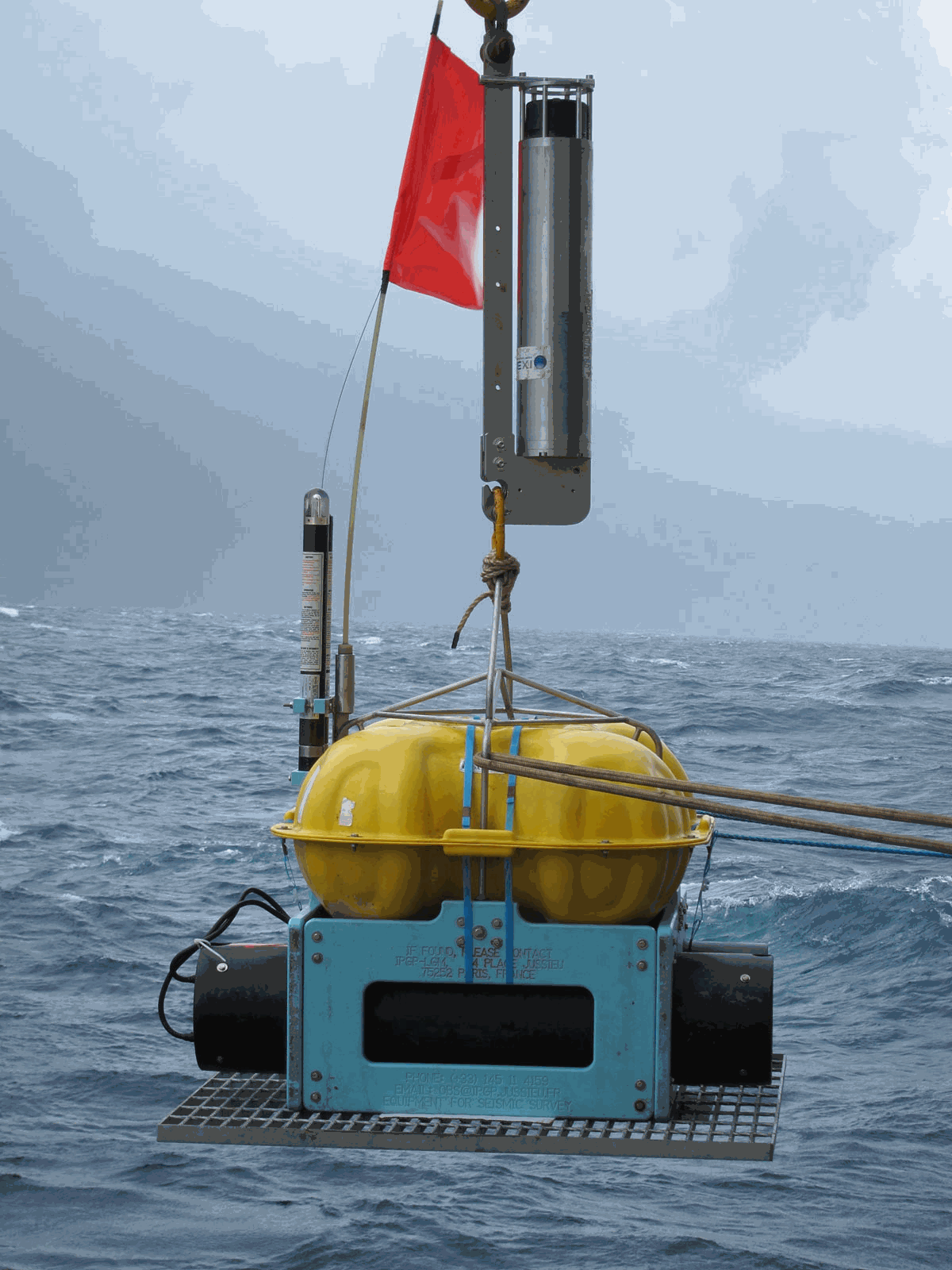
This dataset contains raw data, drift corrected data and SeisComP 3 Data Structure (SDS) from Ocean Bottom Seismometers (OBS) deployed at EMSO-Azores from July 2012 to August 2013. The raw data are initialy in Lcheapo format. They are fixed at first to remove bugs and they are transformed to miniSEED format. The drift corrected data are obtained from fixed raw data. The drift corrected data are obtained from fixed raw data. A value is put in the Time Correction eld (eld 16) of each data header. By default, the correction is applied to the Record Start Time (eld 8) and the Time Correction Applied ag (eld 12, bit 1) is activated. Alternatively, only the Time Correction Applied eld is changed. Seiscomp3 Data Structure (SDS) is the final product. It's the correct structure to be use in the Seiscomp 3 software.
-
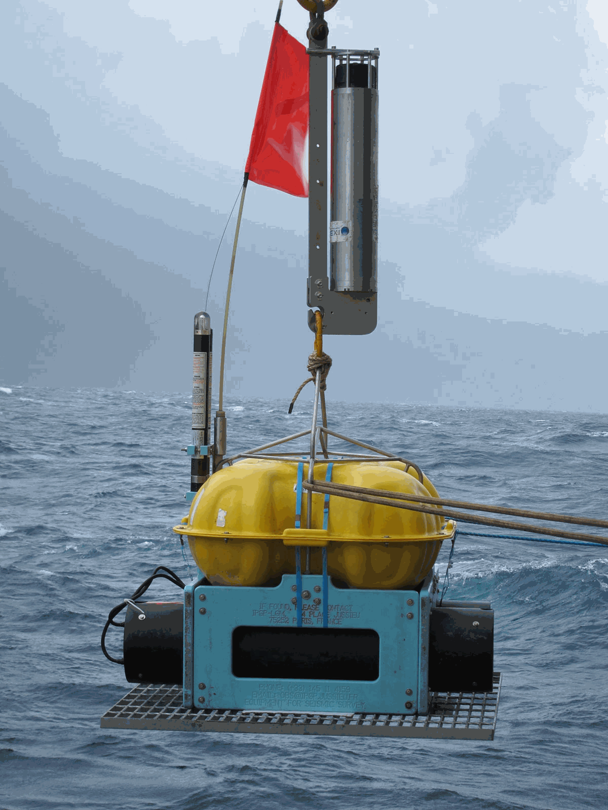
This dataset contains raw data, drift corrected data and SeisComP 3 Data Structure (SDS) from Ocean Bottom Seismometers (OBS) deployed at EMSO-Azores from July 2014 to April 2015. The raw data are initialy in Lcheapo format. They are fixed at first to remove bugs and they are transformed to miniSEED format. The drift corrected data are obtained from fixed raw data. The drift corrected data are obtained from fixed raw data. A value is put in the Time Correction eld (eld 16) of each data header. By default, the correction is applied to the Record Start Time (eld 8) and the Time Correction Applied ag (eld 12, bit 1) is activated. Alternatively, only the Time Correction Applied eld is changed. Seiscomp3 Data Structure (SDS) is the final product. It's the correct structure to be use in the Seiscomp 3 software.
-
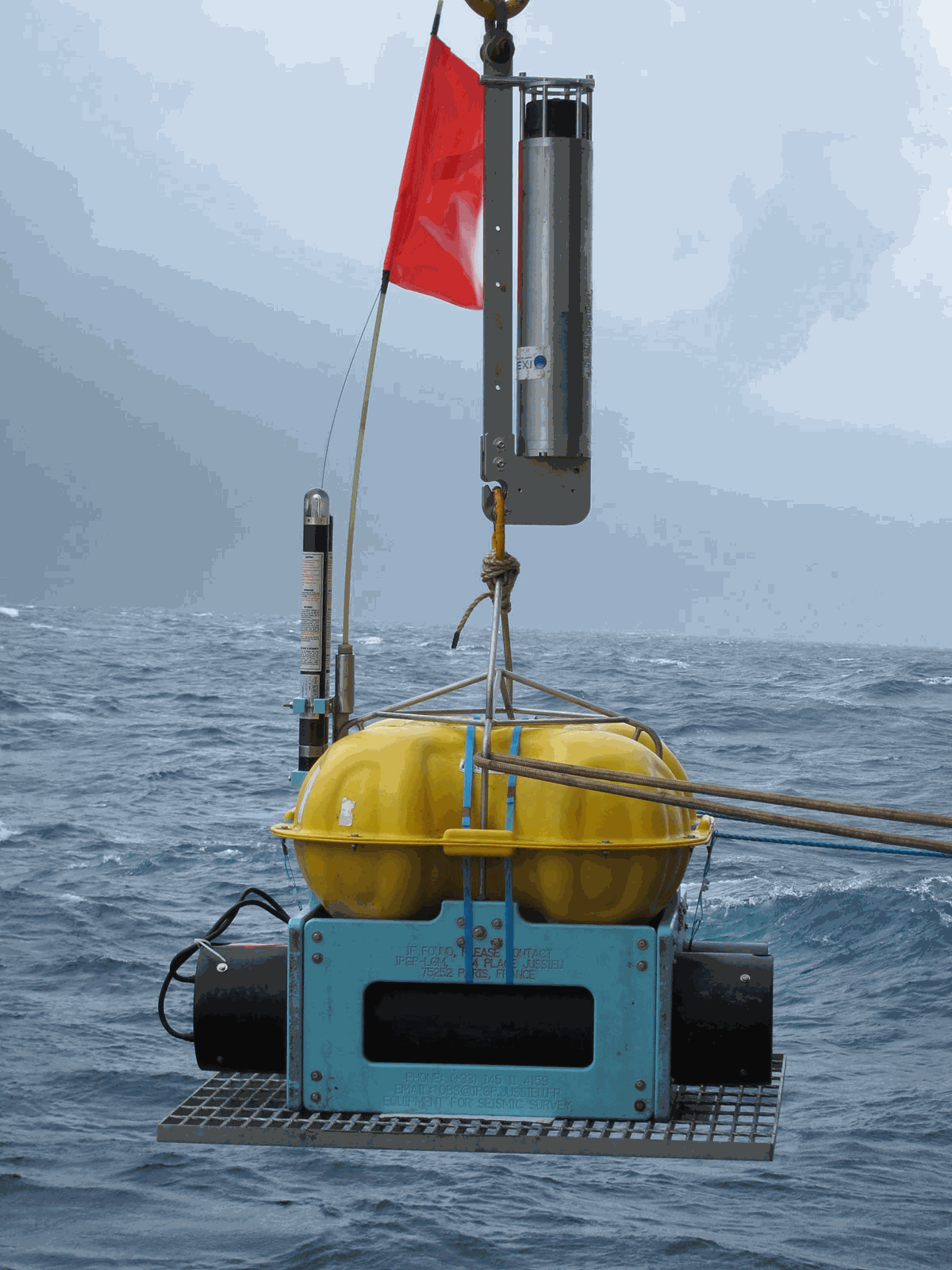
This dataset contains raw data, drift corrected data and SeisComP 3 Data Structure (SDS) from Ocean Bottom Seismometers (OBS) deployed at EMSO-Azores from April 2015 to August 2016. The raw data are initialy in Lcheapo format. They are fixed at first to remove bugs and they are transformed to miniSEED format. The drift corrected data are obtained from fixed raw data. The drift corrected data are obtained from fixed raw data. A value is put in the Time Correction eld (eld 16) of each data header. By default, the correction is applied to the Record Start Time (eld 8) and the Time Correction Applied ag (eld 12, bit 1) is activated. Alternatively, only the Time Correction Applied eld is changed. Seiscomp3 Data Structure (SDS) is the final product. It's the correct structure to be use in the Seiscomp 3 software.
-
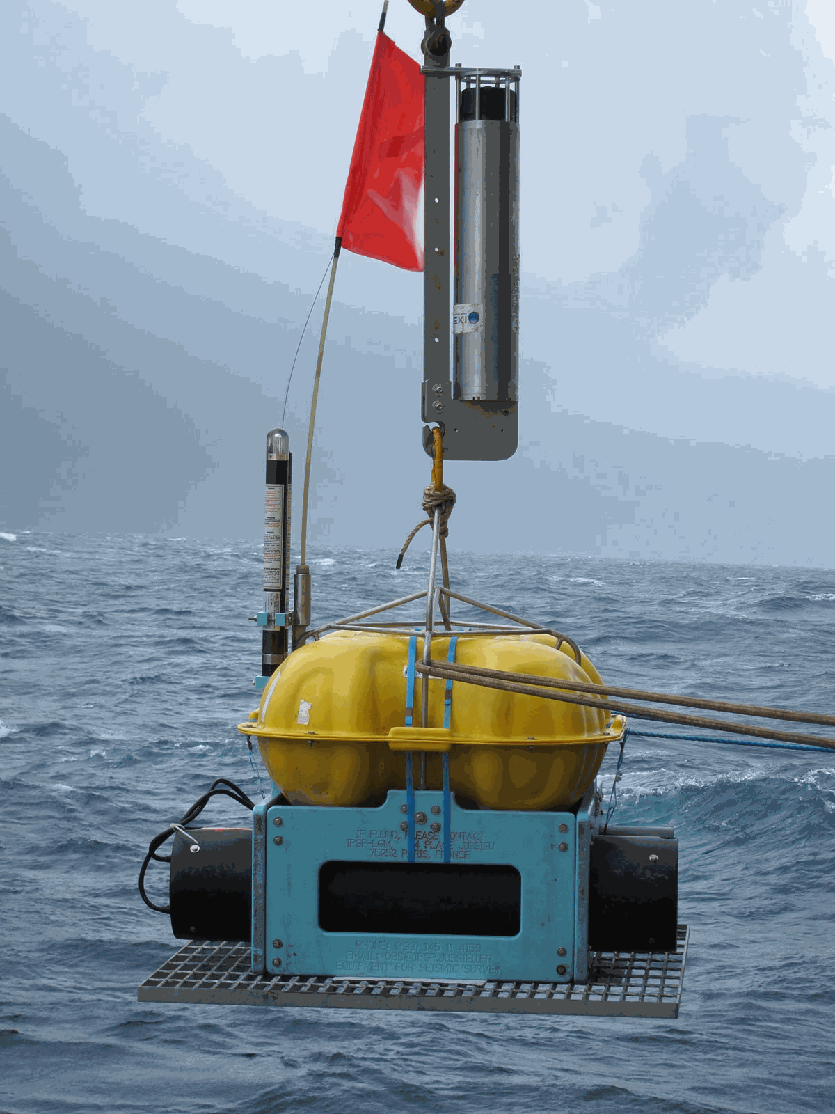
This dataset contains raw data, drift corrected data and SeisComP 3 Data Structure (SDS) from Ocean Bottom Seismometers (OBS) deployed at EMSO-Azores from July 2011 to July 2012. The raw data are initialy in Lcheapo format. They are fixed at first to remove bugs and they are transformed to miniSEED format. The drift corrected data are obtained from fixed raw data. The drift corrected data are obtained from fixed raw data. A value is put in the Time Correction eld (eld 16) of each data header. By default, the correction is applied to the Record Start Time (eld 8) and the Time Correction Applied ag (eld 12, bit 1) is activated. Alternatively, only the Time Correction Applied eld is changed. Seiscomp3 Data Structure (SDS) is the final product. It's the correct structure to be use in the Seiscomp 3 software.
-
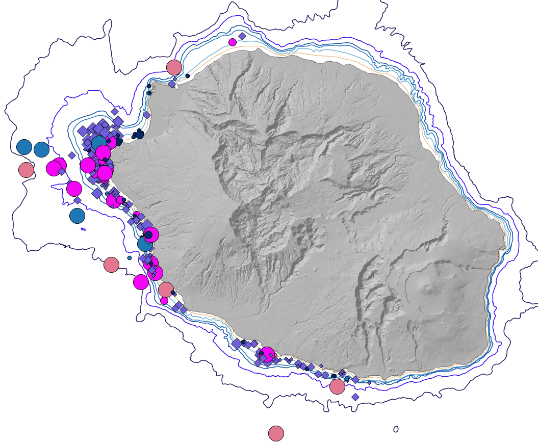
Cartographie des positions des observations des différentes espèces de cétacés autour de l'île de La Réunion en 2008
-
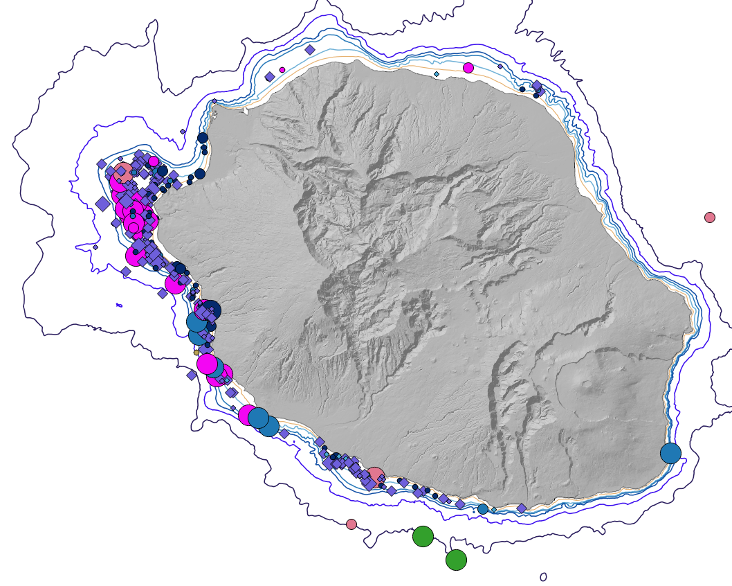
Cartographie des positions des observations des différentes espèces de cétacés autour de l'île de La Réunion en 2009
-
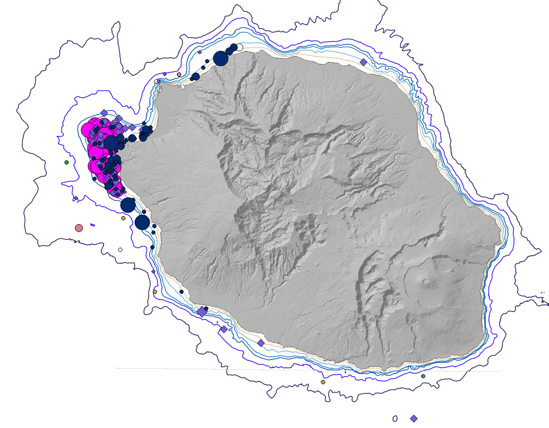
Cartographie des positions des observations des différentes espèces de cétacés autour de l'île de La Réunion en 2016
-
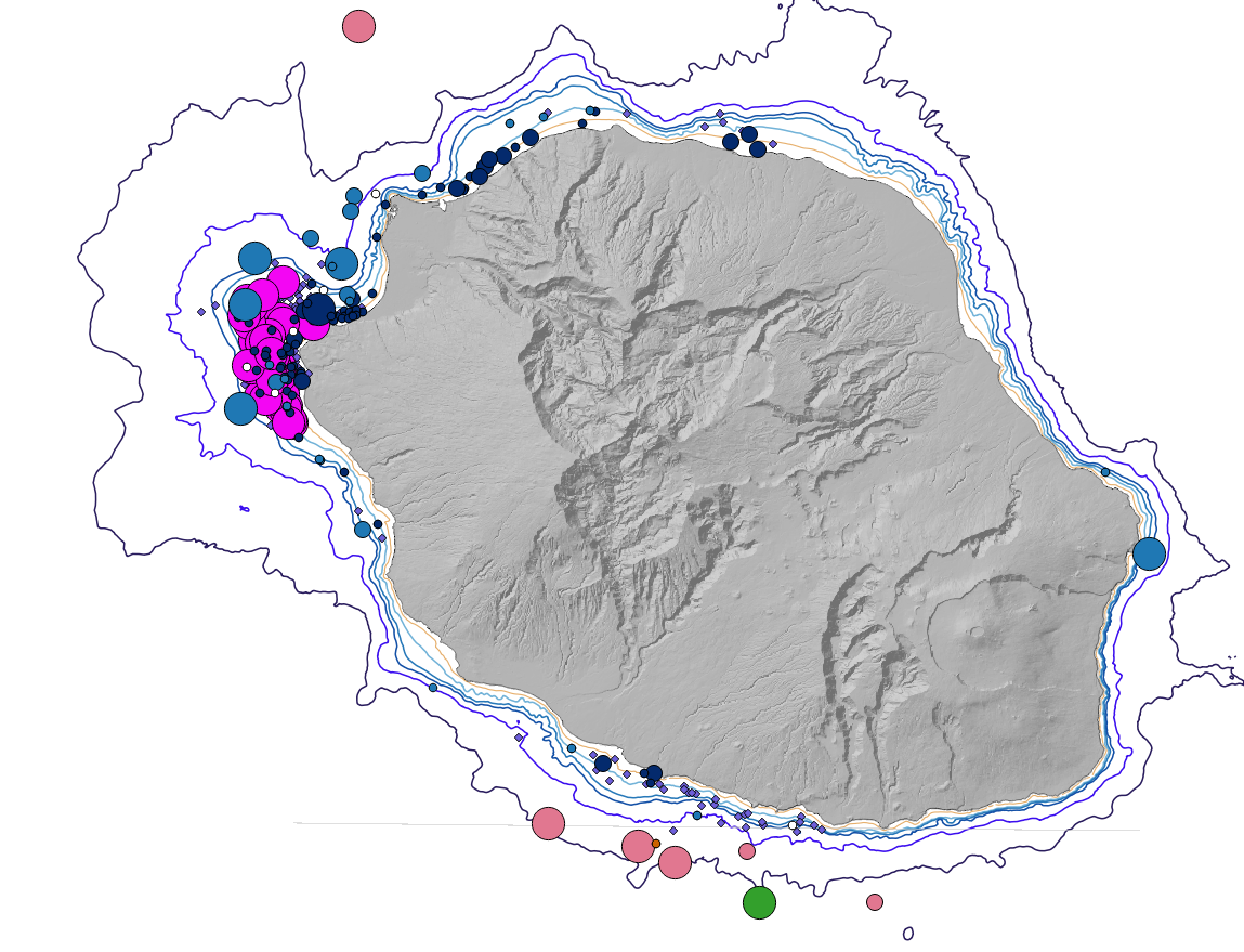
Cartographie des positions des observations des différentes espèces de cétacés autour de l'île de La Réunion en 2014
-
Cartographie des positions des observations des différentes espèces de cétacés autour de l'île de La Réunion en 2015
-
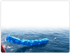
Mesures des bouées dérivantes de surface. Ce système est un mouillage dérivant constitué d'une bouée de surface reliée à une ancre flottante par un câble (orin, câblot). Il doit suivre avec le plus de précision possible la masse d'eau dans laquelle l'ancre flottante est immergée. Les bouées de surface sont suivis par satellites Argos.