asNeeded
Type of resources
Available actions
Topics
Keywords
Contact for the resource
Provided by
Years
Formats
Representation types
Update frequencies
status
Scale
Resolution
-
-

-
-

-
-
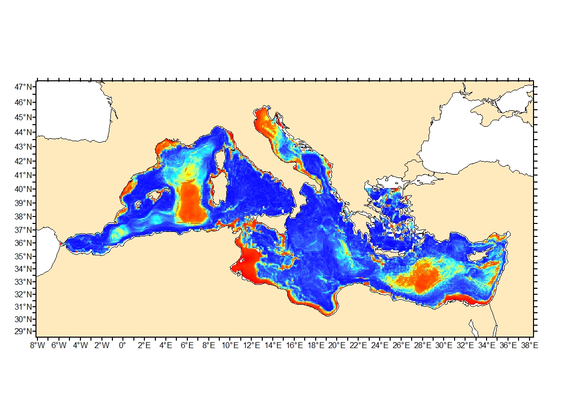
Seabed shear stress (in N.m-2) is a measure of the friction of water on the seabed due to waves and currents. The 90th percentile over the available period is used as layer for habitat models prediction.
-

This data set presents the resulting assessment grid (based on the EEA reference grid) with the classification of chemical status of the transitional, coastal and marine waters in the context of the Water Framework Directive (WFD) and the Marine Strategy Framework Directive (MSFD), providing a mapping of contamination 'problem areas' and ‘non-problem areas’ based on measurements in the matrix "sediments". This classification has been performed using the CHASE+ tool, with classifications of the sediments matrix. The chemical status is evaluated in five classes, where NPAhigh and NPAgood are recognised as ‘non-problem areas’ and PAmoderate, PApoor and PAbad are recognised as ‘problem areas’. Most countries in Europe include marine sediments in long-term monitoring activities. Consequently, the data coverage is good, especially in southern parts of the Baltic Sea, the North Sea, the Celtic Sea, the Bay of Biscay, western parts of the Black Sea and the coastal waters of France, Italy and Portugal.The number of assessment units monitored and classified in the North-East Atlantic Ocean is 511. In the Mediterranean Sea, the number of assessment units is 153. Baltic Sea sediments are monitored on 97 assessment units while only 19 areas are assessed in the Black Sea. This data set underpins the findings and cartographic representations published in the EEA report “Contaminants in Europe’s seas” (No 25/2018). See the mentioned report for further information as well as examples of classification excluding specific groups of substances(e.g. metals, PBDEs).
-

-
-
 Catalogue PIGMA