 Catalogue PIGMA
ATLIS
Type of resources
Topics
Keywords
Contact for the resource
Provided by
Years
Formats
Representation types
Scale
Resolution
-
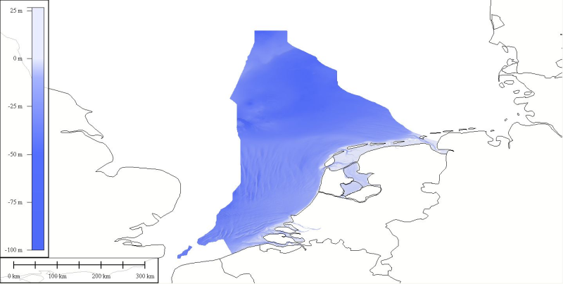
DTM compiled for inclusion into the EMODnet hydrography dataset. Original data was received from Netherlands Hydrographic Service at a source resolution of approximately 125 meters. An area north of the northern deep water routes on the Dutch continental shelf was not part of the source data. To fill in this area soundings taken from nautical charts were combined with the source data. The resulting data set was then interpolated using the ATLIS SENS software suite. The source data is extracted from the RBB database of the Hydrographic office. The RBB holds data that is the actual reflection of water depth of the Dutch waters at a resolution higher than 125 meter. Please contact the hydrographic office for more details.
-
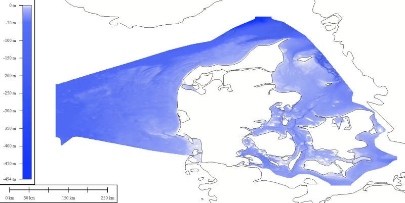
DTM data source was received from the Danish Maritime Adminstration as a downloadable dataset relative to the national Danish datum DVR90. 4 downloads are available for Bornholm, Kattegat Nord, Kattegad Syd and Nordsoe.
-
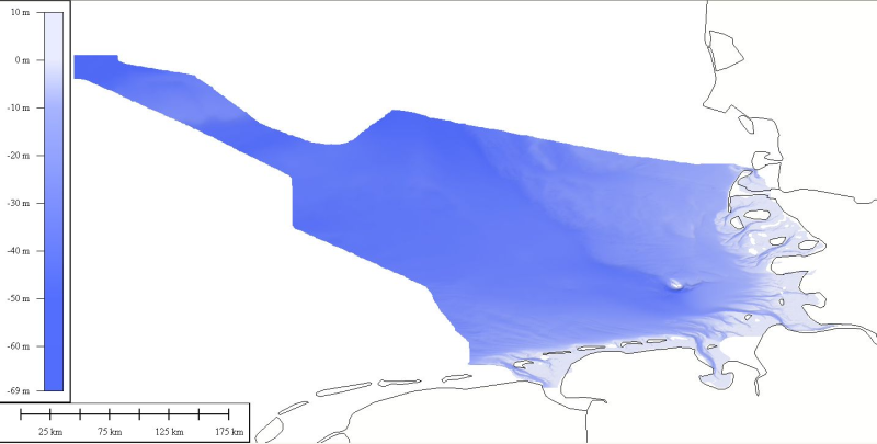
DTM data source was received from the data center (Bathymetrisches Datenzentrum) of the German Hydrographic Office (Bundesamt für Seeschifffahrt und Hydrographie) at a variable resolution. The data was then processed by ATLIS b.v. using the ATLIS SENS software suite and compiled into an EMODnet regional DTM. Although the resolution varied throughout the dataset, no interpolation was required to create a geographic grid of 0.0041667 degrees resolution.
-
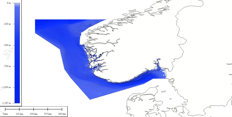
DTM data source was created by taking contour lines and spot soundings from Norwegian Electronic Navigational Charts. NOTE: Data east of appr.