 Catalogue PIGMA
IFREMER SIH
Type of resources
Available actions
Topics
Keywords
Contact for the resource
Provided by
Years
Representation types
Update frequencies
status
Scale
-
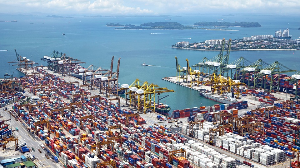
World list of seaports. In its 2021 version, the repository includes 13709 ports for 187 countries. The list of seaports has been drawn up on the basis of the information available in the European reference system of places used in the framework of the Common Fisheries Policy and, more particularly, by the Electronic Recording and Reporting System (ERS), the list of ports identified by the UNECE (2021-1). An assessment of the infrastructures present along the coastline made it possible to identify other ports that were not listed. Each geographical position has been verified with Google Earth in WGS84. Each port is associated with information relating to the country (ISO 3 coding), the UNECE or ERS 5-character coding, the name, the geographical position in WGS84 (latitude and longitude), the status of the port indicating whether it is referenced by Unece (UNECE), by the EU/ERS (ERS) or by both (UNECE/ERS) In case the port is not referenced by UNECE or ERS, the status is N/A. For French ports, the reference system integrates the ports of the French overseas departments and territories with the national codification. Inland ports have also been integrated in 2021.
-
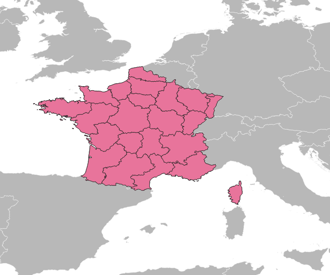
Avant le 1er janvier 2016, la France comptait 27 régions : - 22 régions en France métropolitaine (en comptant la Corse). - 5 régions d'outre mer : la Guadeloupe, la Martinique, la Guyane, la Réunion et Mayotte (depuis 2011). Bien qu'obsolète, ce référentiel est conservé dans le Système d'Informations Halieutiques pour les données historiques.
-
Les calendriers d'activité des navires de pêche reconstitués chaque année permettent d'accéder aux données mensuelles suivantes : port d'exploitation principal, nombre de personnes embarquées, nombre de jours de mer et de pêche, métier(s) pratiqué(s), zones de pêches exploitées et leur gradient d'éloignement à la côte. Les données annuelles de dimension et de maillage des engins utilisés pour pratiquer un métier sont également fournies.
-
Les données "Ventes" du flux déclaratif contiennent essentiellement des données de ventes en criée ainsi que quelques données non exhaustives de ventes hors-criée.
-

Le référentiel des espèces scientifiques du Système d’Informations Halieutiques recense les espèces observées lors des campagnes halieutiques ou dans le cadre des observations des programmes de collecte (ObsVentes, ObsMer, Campagnes,…).
-

Le référentiel des lieux du Système d’Informations Halieutiques est divisé en 3 catégories : les lieux à terre, les zones en mer et les zones réglementaires en mer. Chacune d’elle est organisée hiérarchiquement. Il existe 93 niveaux de lieux dans Harmonie : une fiche de métadonnées existe pour chacun d’entre eux avec, lorsqu’elle existe, une couche géographique.
-
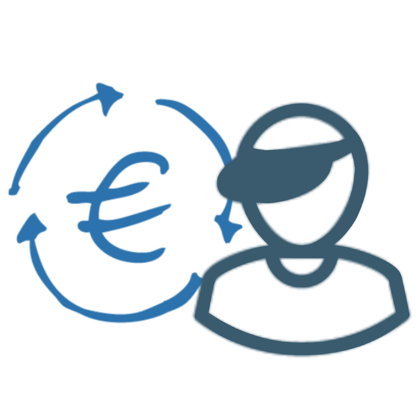
La collecte de données socio-économiques auprès des pêcheurs professionnels, permet de calculer des indicateurs économiques par segment de flotte et contribue notamment à évaluer les performances économiques par flottille et les impacts de la mise en place de mesures de gestion. Elle permet également d’évaluer le poids de la pêche française en Europe, la part de pêche dans l’économie nationale et régionale ainsi que l’attractivité du métier ou encore les impacts de la variation des coûts tel que le coût du carburant.
-
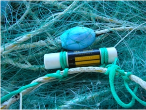
Le programme national pluridisciplinaire RECOPESCA est une collaboration entre pêcheurs volontaires et scientifiques pour la collecte automatisée de données environnementales physiques et halieutiques géolocalisées du domaine côtier. Le principe consiste à installer des capteurs sur les engins mesurant les paramètres environnementaux, depuis la surface jusqu'au fond, et à enregistrer des données fines sur l’activité et l'effort de pêche. Les données acquises alimentent les bases de données de l’océanographie côtière opérationnelle (volet côtier de Coriolis) et halieutique du SIH (Harmonie). Le programme répond ainsi à la fois à des problématiques de recherche (physique et halieutique), de mise en œuvre de l’approche écosystémique des pêches, d’appui aux politiques publiques (DCSMM, DCF, CMEMS) et d’innovation de l’Ifremer dans le domaine côtier.
-
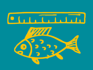
L'observation des ventes consiste à mesurer périodiquement la taille des individus des principales espèces en criée et aux points de débarquement, en tenant compte des appellations commerciales pratiquées sur les lieux de vente. Ce dispositif, appelé ObsVentes, est appliqué en France métropolitaine et en Outre-mer, dans les 5 DOM : Guyane, Guadeloupe, Martinique, Réunion et Mayotte.
-
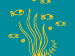
L'observation des écosystèmes par le Système d'Informations Halieutiques (SIH) de l'Ifremer repose sur un réseau de campagnes en mer. Elle vise à évaluer l’état des stocks des différentes espèces pêchées en France et en Europe. Elle permet aussi de caractériser l'écosystème marin dans lequel évoluent les peuplements. 23 campagnes scientifiques ont lieu chaque année en mer, permettant de collecter des données depuis plus de 30 ans pour les plus anciennes. Grâce à l’utilisation d’engins de pêche standardisés, les données acquises ainsi chaque année à bord de navires scientifiques ou des bateaux de pêche professionnels contribuent au calcul de l’indice d’abondance, avec des milliers de poissons prélevés lors de chalutages minutés. Les poissons sont mesurés et leur âge est évalué grâce à la mesure de leurs otolithes (petits os situés dans l’oreille interne du poisson).