 Catalogue PIGMA
Bathymetry and Elevation
Type of resources
Available actions
Topics
Keywords
Contact for the resource
Provided by
Years
Formats
Representation types
Update frequencies
status
Scale
Resolution
-
The coastal heights data combines two datasets: the land-sea mask of the gridded EMODnet bathymetry and the height of high-water (HAT) relative to chart datum (LAT) as computed with the GTSM tide model. Near the coast a diffusion scheme is applied to make the heights consistent with the land-sea mask. Finally, only grid cells that are classified as sea, but neighbor a land cell are selected. The main assumption in this approach is that the height of the topography near the coastline is close to the high-water mark. The main purpose of this dataset is to improve extrapolation towards the coast. In many areas around Europe there is a (small) gap between the point closest to the coast for which a survey is available and the coastline. In this way interpolation from coarser background data is avoided.
-
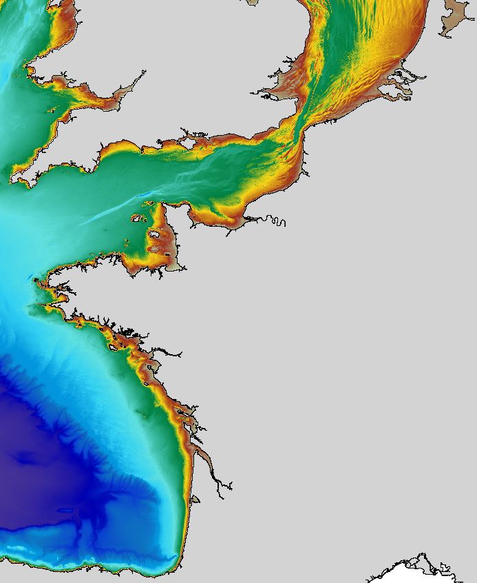
The regional bathymetric Atlantic – Channel – North-Sea DTM has a resolution of 0.001° (~111m). Its geographic coverage includes the Bay of Biscay, the English Channel and a part of the North Sea. The DTM extends from the coast to the continental slope (about of 4800m deep). This DTM is produced in the framework of the HOMONIM project which aims at improving operational forecast capabilities for the national coastal flood warning system. This DTM is offered openly on the Shom diffusion website (http://diffusion.shom.fr/produits/bathymetrie/mnt-facade-atl-homonim.html). http://dx.doi.org/10.17183/MNT_ATL100m_HOMONIM_WGS84
-
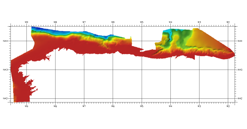
DTM of continental margin of Cantabric Sea, resolution 100 meters. This DTM includes the whole area from coast line to deepest level (5544,23 m).
-
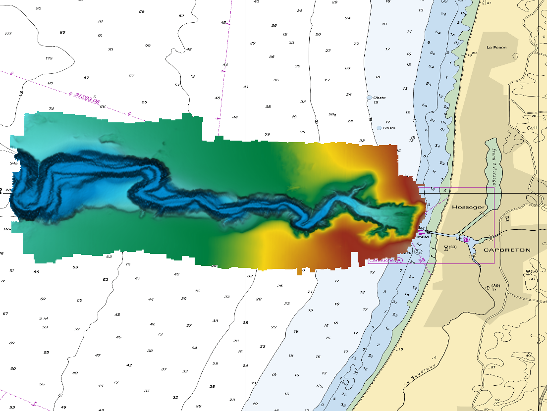
The DTM is a compilation of multibeam echosounder surveys acquired in 2013. The resolution is 1/64 arc-minutes (~30m). Surveys are located on the Capbreton Submarine Canyon (France) with depths from -4.7m to -344.9m. Depths are referenced to the Lowest Astronomical Tide and the coordinates are expressed into the WGS84 reference frame. The surveys which compose the DTM are S201306500-09 and S201306500-11. Data and metadata associated to these surveys are available on the website http://diffusion.shom.fr/pro/lots-bathy.html. The DTM is not to be used for navigation.
-
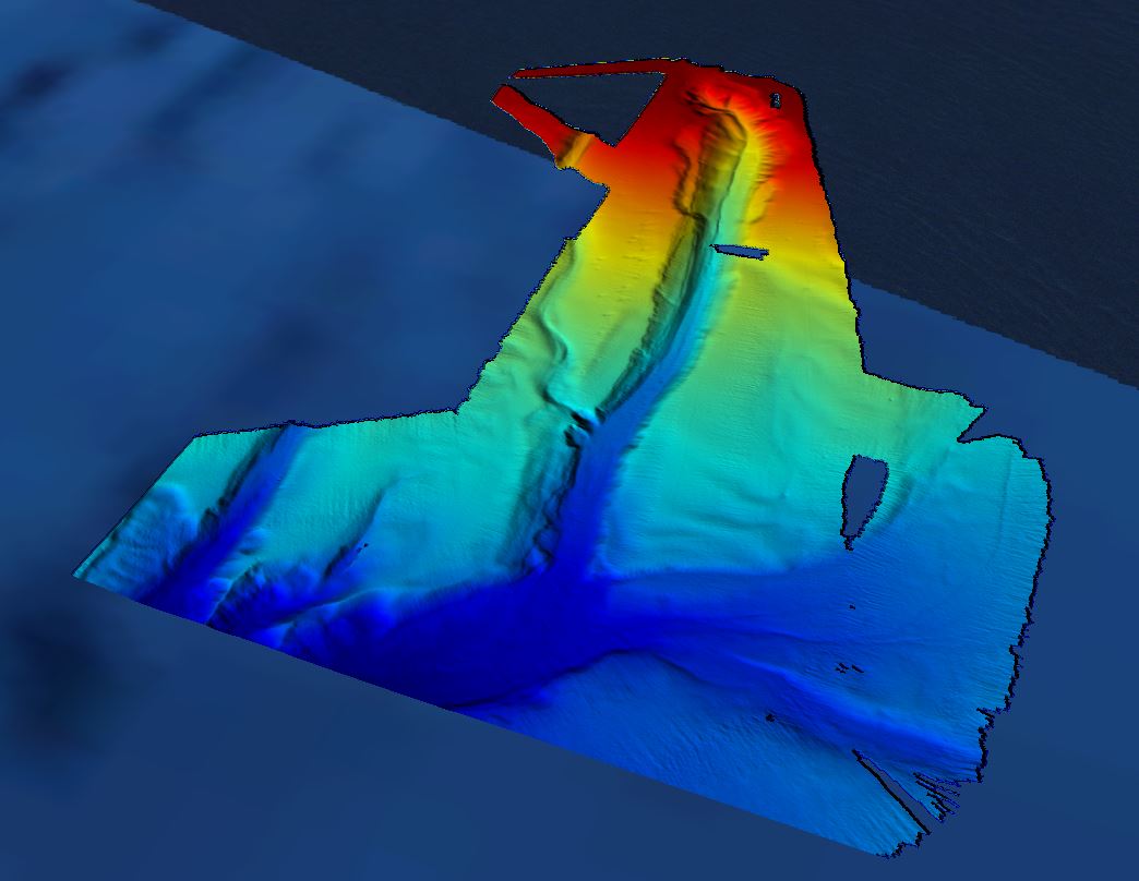
Grid processed for the purpose of the HR DTMs layer of EMODnet Bathymetry HRSM, October 2018
-

The Digital Terrain Model of the Bay of Biscaye and of the Channel is the result of the processing of a compilation of single and multibeam echosounder data, of DTMs and of chart countours produced before 2008 for hydrodynamic modeling.
-
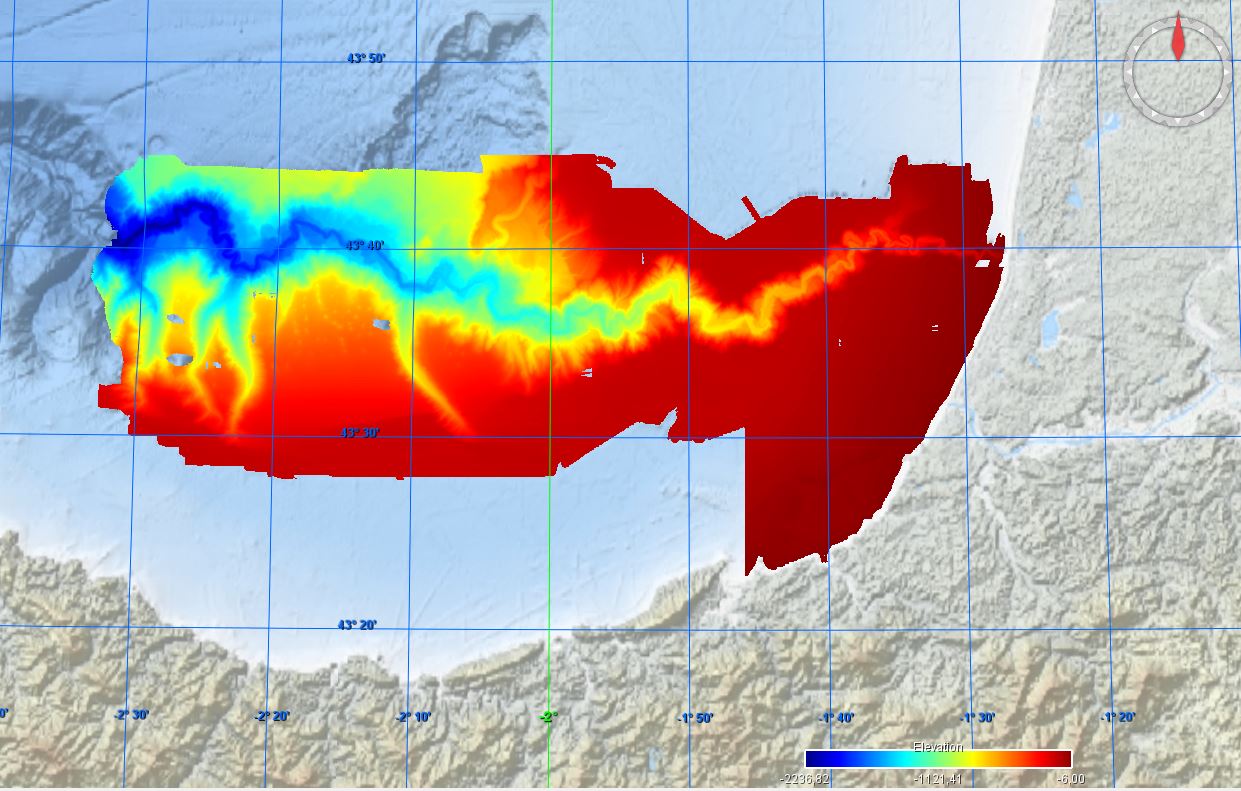
Conversion into the EMODnet format of the published grid for the Capbreton Canyon in 2007: http://dx.doi.org/10.12770/72e2f750-c255-11df-a9b6-005056987263
-
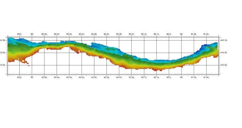
DTM of coast of Biscay and Guipuzcoa , approximately 250 m resolution. This DTM includes the whole area from coast line to deepest level (144,058 m)
-
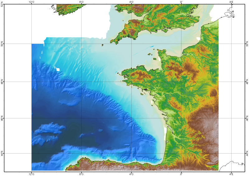
The Digital Terrain Model of the Bay of Biscaye and of the Channel is the result of the processing of a compilation of single and multibeam echosounder data, of DTMs and of chart countours produced before 2008 for hydrodynamic modeling..
-

COSYNA (Coastal Observation System for Northern and Arctic Seas) is an operational coastal monitoring, forecasting and information system for the North Sea composed by fixed platforms, FerryBoxes, gliders and HF-radar systems. It is being developed by institutes of the German Marine Research Consortium (KDM) and collaborating institutions and is operated by the HZG Research Centre. The infrastructure represents an investment of 9 M €. It was build up since 2007 and is fully operational since 2012. COSYNA_GL is one of the 2 gliders of the system (TWR Slocum Electric, 100 m) equipped with CTD, Wetlabs ECO puck FLNTU (fluorescence and turbidity) and CDOM fluorescence.