25000
Type of resources
Available actions
Topics
Keywords
Contact for the resource
Provided by
Years
Formats
Representation types
Update frequencies
status
Scale
Resolution
-
Gestion de la taxe de séjour des Établissements Touristiques aux réels (montant/suivi déclaration/suivi facturation) à l'échelle des communautés de communes.
-
Bulletin Sanitaire Végétale: nombre de parcelles à maturité par commune. (métadonnée en cours)
-
Ce jeu de données recense les communes du département de la Gironde suivies pour le Moustique Tigre.
-
The LAgrangian Transport EXperiment (LATEX) project (2008-2011) is designed to study the mechanisms of formation of anticyclonic eddies and their influence on cross-shelf exchanges in the western part of the GoL. The dynamics of mesoscale eddies is particularly important in this part of the GoL since it represents a key region for regulating the outflow from the continental shelf. The eddy dynamics is investigated using Symphonie, a 3-dimensional, primitive equation model, with a free sea surface, hybrid sigma coordinates, based on Boussinesq and hydrostatic approximations [Marsaleix et al., 2006, 2008]. We use the upwind-type advection-diffusion scheme adapted by Hu et al. [2009] to improve the ability of the model to reproduce coastal mesoscale eddies in the western part of the GoL. In the present study, the model is implemented over the whole GoL with an horizontal resolution of 1 km × 1 km (Figure 1). The vertical discretization consists of 40-hybrid vertical levels. The vertical resolution varies from 1 m in the upper ocean to 40 m near the bottom. "For a complete review of the LATEX projet, see : - Petrenko, A., A., Doglioli, A.M., Nencioli, F., Kersalé, M., Hu, Z., d'Ovidio, F. (2017). A review of the LATEX project: mesoscale to submesoscale processes in a coastal environment. Ocean Dynam., 67:513 - doi: 10.1007/s10236-017-1040-9 - https://doi.org/10.1007/s10236-017-1040-9 ----- Le projet LAgrangian Transport EXperiment (LATEX) (2008-2011) est conçu pour étudier les mécanismes de formation des tourbillons anticycloniques et leur influence sur les échanges entre plateaux dans la partie occidentale du GdL. La dynamique des tourbillons à méso-échelle est particulièrement importante dans cette partie du GdL, car elle représente une région clé pour la régulation du flux sortant du plateau continental. La dynamique des tourbillons est étudiée à l'aide de Symphonie, un modèle d'équation primitive tridimensionnel, avec une surface de mer libre, des coordonnées sigma hybrides, basé sur Boussinesq et des approximations hydrostatiques [Marsaleix et al., 2006, 2008]. Nous utilisons le schéma d'advection-diffusion de type vent debout adapté par Hu et al [2009] pour améliorer la capacité du modèle à reproduire les tourbillons côtiers à méso-échelle dans la partie occidentale du GdL. Dans la présente étude, le modèle est mis en œuvre sur l'ensemble du GdL avec une résolution horizontale de 1 km × 1 km (Figure 1). La discrétisation verticale est constituée de 40 niveaux verticaux hybrides. La résolution verticale varie de 1 m dans la partie supérieure de l'océan à 40 m près du fond. Pour plus d'information sur le projet LATEX : - Petrenko, A., A., Doglioli, A.M., Nencioli, F., Kersalé, M., Hu, Z., d'Ovidio, F. (2017). A review of the LATEX project: mesoscale to submesoscale processes in a coastal environment. Ocean Dynam., 67:513 - doi:10.1007/s10236-017-1040-9 - https://doi.org/10.1007/s10236-017-1040-9
-
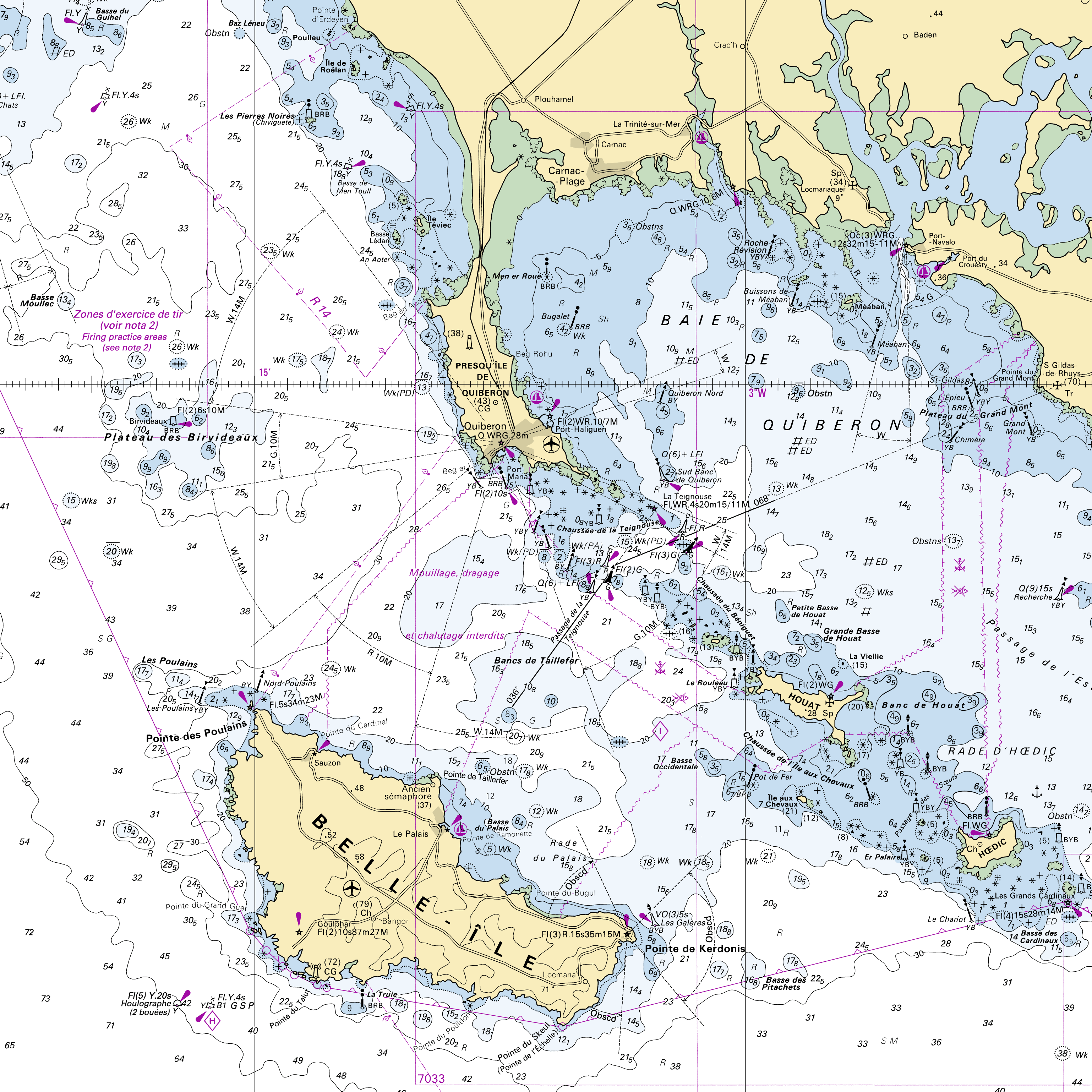
The product SCAN Littoral® is a collection of continuous colour digital map images of the coast, obtained via georeferenced assembling with grid squares of raster data from Shom nautical charts and IGN 1:25,000 land maps. The SCAN Littoral® solution includes a series of digital images with no additions, legends or georeferencing information.
-
Marché foncier en Poitou-Charentes
-
Gestion de la taxe de séjour des Etablissements Touristiques aux forfaits (Montant/suivi déclaration/suivi facturation) à l'échelle des communautés de communes.
-
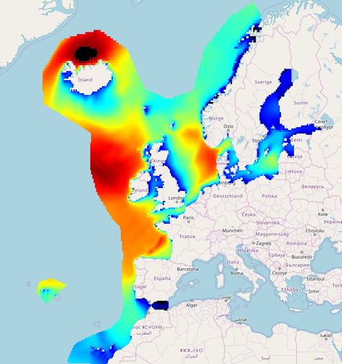
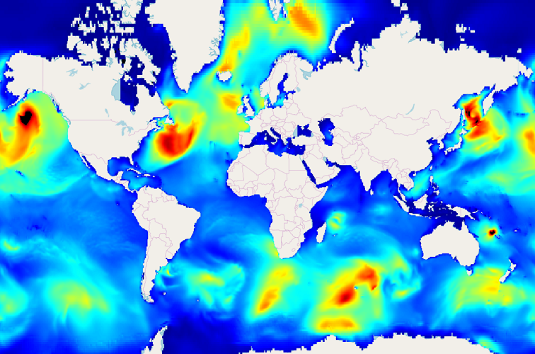
IOWAGA sea-states hindcast database generated by the wave model WAVEWATCH-III and forced by ECMWF winds on the French coast of the Atlantic ocean unstructured grid over 2008-2018 period.
-
-
French marine's subregions: areas used under the Framework Directive strategy for the marine environment.