 Catalogue PIGMA
regulation
Type of resources
Available actions
Topics
Keywords
Provided by
Representation types
Update frequencies
Scale
-
Limits defining ship classes based on their assigned operating maritime zones. These limits were produced by CEREMA in application of section II.14 of article 1 of decree no. 200945 amended on 30 August 1984. Navigation categories are defined in article 223.2 of the rules appended to the order of 23 November 1987 on shipping safety.
-
<strong>This data is not up to date with the order dated 30 August 2021 amending the order dated 23 November 1987 on ship safety, which now raises the limit for category 4 ships to 5 miles from the nearest coast.</strong> The navigation category allocated to a ship is indicated on its shipping license, together with any applicable restrictions. This limit was produced by Shom in application of section II.14 of article 1 of decree no. 84-810 amended on 30 August 1984. Navigation categories are defined in article 110.10 of the rules appended to the order of 23 November 1987 on shipping safety.
-
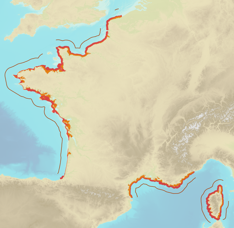
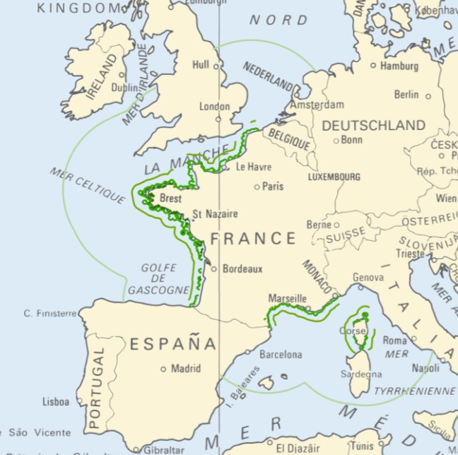
Geographic information layer including the Transverse limit of the sea - mainland France, French Guiana, Martinique and Guadeloupe. This layer must be considered as an initial version to be validated locally by the competent services. Shom actively seeks out any information which could complete and improve the precision of this layer. The streams and rivers listed correspond to those mentioned in the applicable regulations and/or by a competent Government service. An inventory of existing legal and geographic information was drawn up prior to production in the form of an enquiry targeting services during the second half of 2014. The source legal text and a summary of digital conversion processes is available for each boundary proposed.Updated july 2018
-
Geographic information layer including the Limit of maritime affairs - mainland France, French Guiana, Martinique and Guadeloupe. This layer must be considered as an initial version to be validated locally by the competent services. Shom actively seeks out any information which could complete and improve the precision of this layer. The streams and rivers listed correspond to those mentioned in the applicable regulations and/or by a competent Government service. An inventory of existing legal and geographic information was drawn up prior to production in the form of an enquiry targeting services during the second half of 2014. The source legal text and a summary of digital conversion processes is available for each boundary proposed.Updated july 2018
-

The "Sovereignty and jurisdiction maritime spaces of France" product contains the areas of sovereignty and jurisdiction maritime spaces of France all around the world.<br /><br /> It is constituted of 2D areas objects split into four categories :<br /> - the territorial sea (from baselines to a distance of 12 nautical miles or to maritime boundaries with neighbouring countries);<br /> - the contiguous zone (from 12 nautical miles to 24 nautical miles from the baselines or to maritime boundaries with neighbouring countries);<br /> - the exclusive economic zone (EEZ) (from 12 nautical miles to 200 nautical miles from the baselines or to maritime boundaries with neighbouring countries);<br /> - the continental shelf over the 200 nautical miles limit (from 200 nautical miles from the baselines to the limits recommended by the Commission on the Limits of the Continental Shelf (CLCS) or to the maritime boundaries with neighbouring countries).<br /> Internal waters, which constitute a space of sovereignty beyond the baselines, are not included in the "Sovereignty and jurisdiction maritime spaces of France" product.<br /> The "Sovereignty and jurisdiction maritime spaces of France" product may not be considered as an enforceable right. Only the “Maritime limits and boundaries” product, that can be displayed and interrogated on the website data.shom.fr (maritime boundaries category) and also downloaded on the French national portal of maritime limits (https://maritimelimits.gouv.fr), may be considered so.<br /><br /> December 2022 version.
-
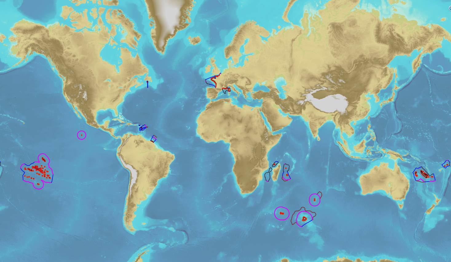
The product “Maritime limits and boundaries” (French: “Délimitations maritimes”) gathers all the elements used for the definition of the maritime spaces under the French sovereignty or jurisdiction through the world. Those spaces are defined by the Ordonnance n° 2016-1687 of 8 December 2016 relating to maritime spaces under sovereignty or jurisdiction of the French Republic. This ordonnance is the transcription in the French legislation of the United Nations Convention on the Law of the Sea (UNCLOS) which was signed in Montego Bay (Jamaica) on 10 December 1982 end ratified by France on 11 April 1996. These elements of maritime limits and boundaries come from the limits computed by Shom on the basis of International Law, from the international agreements relating to maritime boundary and the technical conventions ratified between France and other States, from the decisions of international juridical bodies, from the recommendations of the Commission of the Limits of the Continental Shelf (UNO) or from unilateral claims from France in the absence of agreement. The elements are divided into seven themes: 1- Straight baselines 2- Outer limits of the territorial sea (12 nautical miles) 3- Outer limits of the contiguous zone (24 nautical miles) 4- Outer limits of the exclusive economic zone (200 nautical miles) 5- Maritime boundaries established by a bilateral agreement or decided by an international juridical body 6- Maritime boundaries unilaterally claimed by France in the absence of agreement 7- Outer limit of the continental shelf beyond 200 nautical miles December 2022 version
-
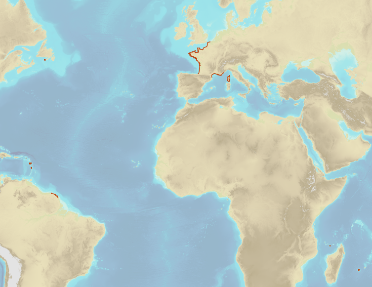
French Ministry of Culture / DRASSM – Shom The product "Limit of preventive archeology licence fee" contains the limits for the preventive archeology licence fee (1 nautical mile) as defined in the French Heritage Code. This limit is managed by the Department of Underwater Archeological Research (DRASSM) of the Ministry of Culture. This limit, defined by the Heritage Code at 1 nautical mile from the low-water line, permits to delineate the areas where the licence fee for preventive archeology at sea is applied. In Mainland France in the Gironde estuary, the limit for the preventive archeology licence fee is stopped by the crosswise limit of the sea as defined by the decree of 26 August 1857. In French Guiana, the limit for the preventive archeology licence fee is stopped in Maroni and Oyapock rivers by the crosswise limits of the sea respectively defined the order of 30 January 1991 and the order No 863 of 26 May 1986, until meeting the land boundary which delineates the rivers with the neighbouring States. The product "Limit of preventive archeology licence fee" is to use in addition to the digital product “Maritime Limits and Boundaries” of Shom (French: “Délimitations maritimes”) which represents the limits of the French maritime spaces of sovereignty or jurisdiction through the World. The product “Maritime Limits and Boundaries” (French: “Délimitations maritimes”) can be viewed on data.shom.fr (Maritime boundaries Category) and downloaded on the French national portal of maritime limits (https://maritimelimits.gouv.fr).
-

Geographic information layer including the Saline limit of waters - mainland France, French Guiana, Martinique and Guadeloupe. This layer must be considered as an initial version to be validated locally by the competent services. Shom actively seeks out any information which could complete and improve the precision of this layer. The streams and rivers listed correspond to those mentioned in the applicable regulations and/or by a competent Government service. An inventory of existing legal and geographic information was drawn up prior to production in the form of an enquiry targeting services during the second half of 2014. The source legal text and a summary of digital conversion processes is available for each boundary proposed.Updated july 2018
-
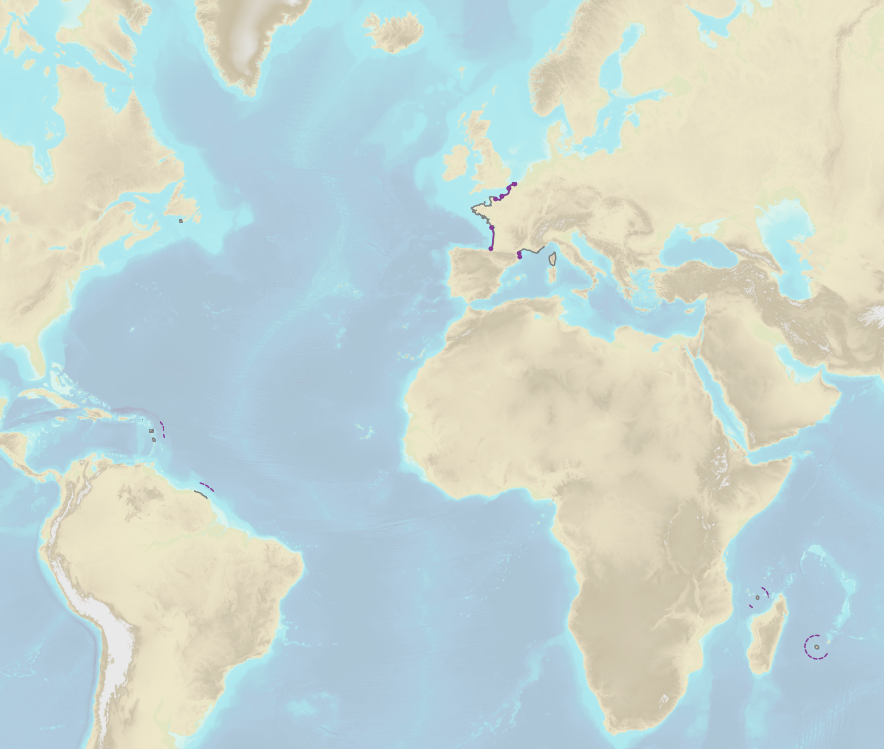
French Ministry of Agriculture and Food / DRASSM - Shom<br /> The product "Limits related to fishery uses" contains the limits related to fishery uses as defined in the French or European legislations. Those limits are managed by the Directorate for Sea Fisheries and Aquaculture (DPMA) of the Ministry of Agriculture and Food. <br /> Those limits are divided into three categories : <br /> - the inner limit of the coastal waters (6 nautical miles) ; <br /> - the 3-nautical-mile limit ; <br /> - the limit of fisheries for overseas territories (100 nautical miles).<br /><br /> The product "Limits related to fishery uses" is to use in addition to the digital product “Maritime Limits and Boundaries” of Shom (French: “Délimitations maritimes”) which represents the limits of the French maritime spaces of sovereignty or jurisdiction through the World.<br /> The product “Maritime Limits and Boundaries” (French: “Délimitations maritimes”) can be viewed on data.shom.fr (Maritime boundaries Category) and downloaded on the French national portal of maritime limits (https://maritimelimits.gouv.fr).