 Catalogue PIGMA
vegetation
Type of resources
Topics
Keywords
Contact for the resource
Provided by
Years
Formats
Representation types
Update frequencies
status
Scale
Resolution
-
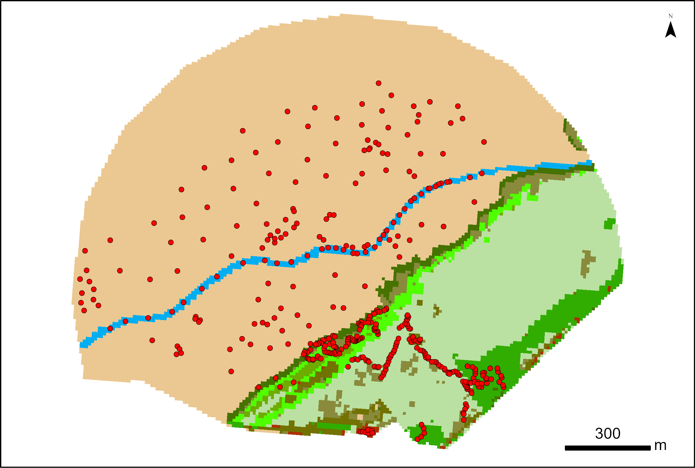
387 points were surveyed with a SP80 DGPS by Maxime Paschal as part of the La Rochelle Zero Carbon Territory (LRTZC) project on 26/05/23. At each point, the type of vegetation was specified.
-

Within the ESA Coastal Blue Carbon project, the LIENSs laboratory contributed drone-derived products, SP80 ground survey points (with longitude, latitude, and plant data) and biomass measurements to test classification models for mapping salt marsh vegetation (e.g., Esnandes) and associated biomass/carbon stocks. Links to associated datasets are provided at the bottom of this sheet.
-
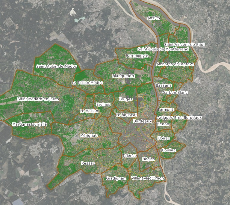
Ce jeu de données représente le potentiel de plantabilité sur le territoire de Bordeaux Métropole sous la forme d’un carroyage de 5 m par 5 m. Chaque carreau est affecté d’un indice de plantabilité compris entre -3 et 3, exprimant la facilité ou la difficulté technique de planter un arbre selon les contraintes ou opportunités connues. Cet indice est établi à partir de différents facteurs, notamment la présence de réseaux enterrés, de bâtiments, de surfaces en eau, d’espaces piétons, d’espaces circulés, de végétation ou d’espaces naturels. Le jeu de données comporte également une classification par catégories, associée à un code et à une couleur, permettant de distinguer les secteurs très favorables, favorables, neutres, défavorables, très défavorables, interdits ou sans facteur identifié.